657 Davy Ln Denison, TX 75020
Estimated Value: $404,687 - $547,000
Studio
--
Bath
2,007
Sq Ft
$237/Sq Ft
Est. Value
About This Home
This home is located at 657 Davy Ln, Denison, TX 75020 and is currently estimated at $475,844, approximately $237 per square foot. 657 Davy Ln is a home located in Grayson County with nearby schools including Pottsboro Elementary School, Pottsboro Middle School, and Pottsboro High School.
Ownership History
Date
Name
Owned For
Owner Type
Purchase Details
Closed on
Nov 9, 2006
Sold by
Kretsinger Marilyn Jean
Bought by
Heady Kevin and Heady Stephanie
Current Estimated Value
Home Financials for this Owner
Home Financials are based on the most recent Mortgage that was taken out on this home.
Original Mortgage
$8,750
Interest Rate
6.28%
Mortgage Type
Seller Take Back
Create a Home Valuation Report for This Property
The Home Valuation Report is an in-depth analysis detailing your home's value as well as a comparison with similar homes in the area
Home Values in the Area
Average Home Value in this Area
Purchase History
| Date | Buyer | Sale Price | Title Company |
|---|---|---|---|
| Heady Kevin | -- | None Available |
Source: Public Records
Mortgage History
| Date | Status | Borrower | Loan Amount |
|---|---|---|---|
| Closed | Heady Kevin | $8,750 |
Source: Public Records
Tax History
| Year | Tax Paid | Tax Assessment Tax Assessment Total Assessment is a certain percentage of the fair market value that is determined by local assessors to be the total taxable value of land and additions on the property. | Land | Improvement |
|---|---|---|---|---|
| 2025 | $5,171 | $438,075 | $67,495 | $370,580 |
| 2024 | $6,391 | $460,062 | $0 | $0 |
| 2023 | $4,609 | $418,294 | $0 | $0 |
| 2022 | $5,700 | $361,260 | $0 | $0 |
| 2021 | $5,357 | $328,433 | $71,250 | $257,183 |
| 2020 | $5,196 | $307,556 | $67,500 | $240,056 |
| 2019 | $4,952 | $279,070 | $43,125 | $235,945 |
| 2018 | $4,891 | $279,070 | $43,125 | $235,945 |
| 2017 | $4,508 | $247,517 | $20,215 | $227,302 |
| 2016 | $4,159 | $247,517 | $20,215 | $227,302 |
| 2015 | $0 | $207,986 | $29,250 | $178,736 |
| 2014 | -- | $193,254 | $17,438 | $175,816 |
Source: Public Records
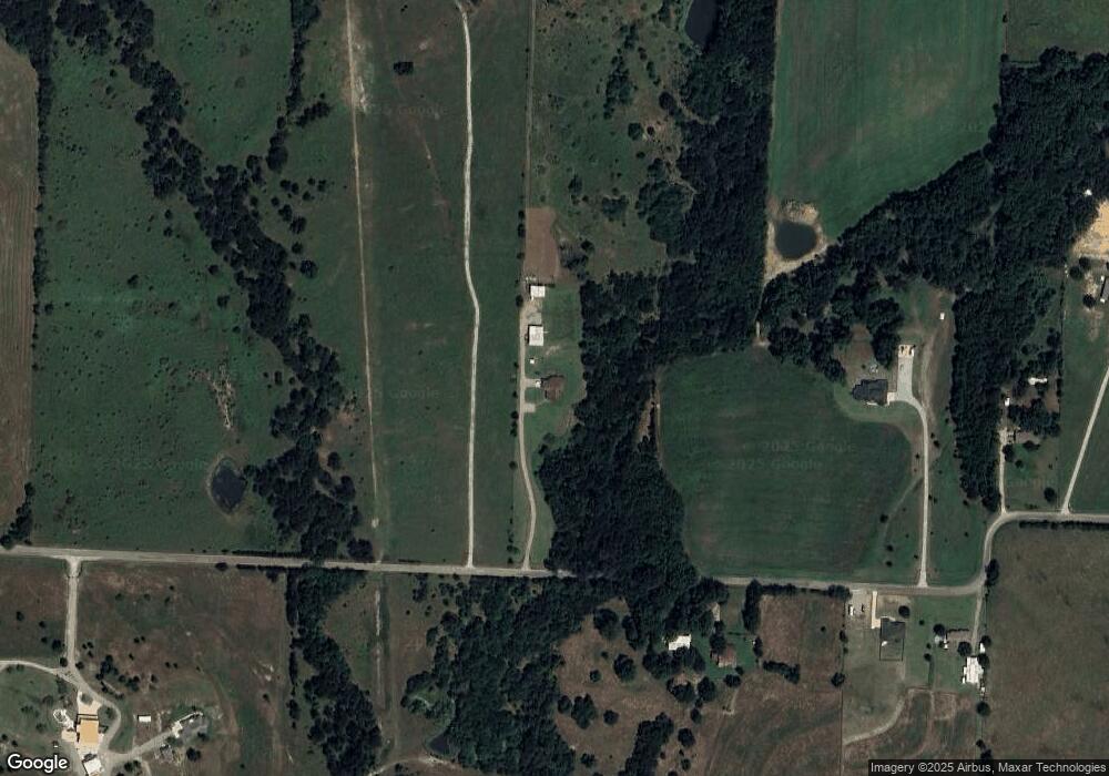
Map
Nearby Homes
- 000 Davy Ln
- 356 Heironimus Ln
- 1566 Davy Ln
- 801 Well Rd
- 292 Pecan Orchard Rd
- 565 Oasis Dr
- 44 Fawn Hollow Cir
- 23+/- Acres Oasis Dr
- 538 Lakewood Rd
- 2255 Davy Ln
- 6914 Farm To Market 120
- 1 Farm To Market 120
- 2 Summit Oaks Cir
- 48 Summit Oaks Cir
- 4170 Carter Ct
- 89 Crosstimbers Rd
- Lot #8 Summit Oaks Cir
- TBD Airport Dr
- 00 Reeves Rd
- 2.76 Acres Tbd N Hwy 120
Your Personal Tour Guide
Ask me questions while you tour the home.