657 Lone Coyote Trail Kalispell, MT 59901
Estimated Value: $879,000 - $1,211,000
2
Beds
4
Baths
3,025
Sq Ft
$330/Sq Ft
Est. Value
About This Home
This home is located at 657 Lone Coyote Trail, Kalispell, MT 59901 and is currently estimated at $999,097, approximately $330 per square foot. 657 Lone Coyote Trail is a home located in Flathead County with nearby schools including West Valley Elementary School, West Valley Middle School, and Glacier High School.
Ownership History
Date
Name
Owned For
Owner Type
Purchase Details
Closed on
Oct 4, 2022
Sold by
Siltala Craig E
Bought by
Turner Matthew D and Turner Susane N
Current Estimated Value
Purchase Details
Closed on
Jun 10, 2022
Sold by
Ramsey Sharon M
Bought by
Siltala Craig E and Siltala Kathryn E
Purchase Details
Closed on
Nov 16, 2010
Sold by
Provident Financial Inc
Bought by
Ramsey Kenneth A and Ramsey Sharon M
Purchase Details
Closed on
Jul 8, 2010
Sold by
Heidegger Susan
Bought by
Provident Financial Inc
Create a Home Valuation Report for This Property
The Home Valuation Report is an in-depth analysis detailing your home's value as well as a comparison with similar homes in the area
Home Values in the Area
Average Home Value in this Area
Purchase History
| Date | Buyer | Sale Price | Title Company |
|---|---|---|---|
| Turner Matthew D | -- | -- | |
| Siltala Craig E | -- | None Listed On Document | |
| Ramsey Kenneth A | -- | First American Title Company | |
| Provident Financial Inc | $69,000 | First American Title Ins Co |
Source: Public Records
Tax History Compared to Growth
Tax History
| Year | Tax Paid | Tax Assessment Tax Assessment Total Assessment is a certain percentage of the fair market value that is determined by local assessors to be the total taxable value of land and additions on the property. | Land | Improvement |
|---|---|---|---|---|
| 2025 | $3,073 | $916,600 | $0 | $0 |
| 2024 | $1,825 | $594,400 | $0 | $0 |
| 2023 | $3,260 | $594,400 | $0 | $0 |
| 2022 | $2,503 | $434,300 | $0 | $0 |
| 2021 | $2,644 | $434,300 | $0 | $0 |
| 2020 | $2,600 | $399,300 | $0 | $0 |
| 2019 | $3,362 | $399,300 | $0 | $0 |
| 2018 | $2,375 | $361,300 | $0 | $0 |
| 2017 | $2,252 | $361,300 | $0 | $0 |
| 2016 | $2,023 | $290,900 | $0 | $0 |
| 2015 | $2,372 | $290,900 | $0 | $0 |
| 2014 | $2,458 | $158,980 | $0 | $0 |
Source: Public Records
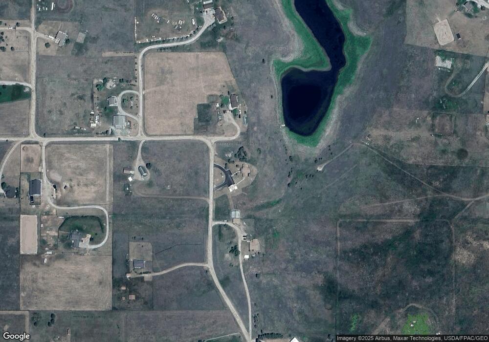
Map
Nearby Homes
- 2680 W Valley Dr
- 881 Lone Coyote Trail
- 1803 Church Dr
- 2170 W Valley Dr
- 116 Wendt Way
- 164 Shepherd Trail
- 543 Harvest View Ln
- Nhn Bald Rock Rd
- 751 Lost Creek Dr
- 511 Northern Larch Trail Unit Lot 71
- 330 Harvest View Ln
- 2975 Farm To Market Rd
- 510 Northern Larch Trail Unit Lot 61
- 763 Harvest View Ln
- 523 Northern Larch Trail Unit Lot 72
- 132 Lone Fox Trail
- 518 Northern Larch Trail Unit Lot 62
- 531 Northern Larch Trail Unit Lot 73
- 43 Pine Cone Ln
- 526 Northern Larch Trail Unit Lot 63
- NHN Lone Coyote Trail
- 724 Lone Coyote Trail
- 620 Lone Coyote Trail
- 687 Lone Coyote Trail
- 564 Lone Coyote Trail
- 571 Lone Coyote Trail
- 772 Lone Coyote Trail
- 20 Moon Lake Trail
- 1405 Church Dr
- 85 Moon Lake Trail
- 1495 Church Dr
- 1555 Church Dr
- 1455 Church Dr
- Nhn Prcl B W Valley Dr
- 1557 Church Dr
- 57 Cattle Dr
- 788 Lone Coyote Trail
- 1485 Church Dr
- 1477 Church Dr
- 1415 Church Dr