Estimated Value: $195,000 - $398,000
Studio
--
Bath
3,237
Sq Ft
$84/Sq Ft
Est. Value
About This Home
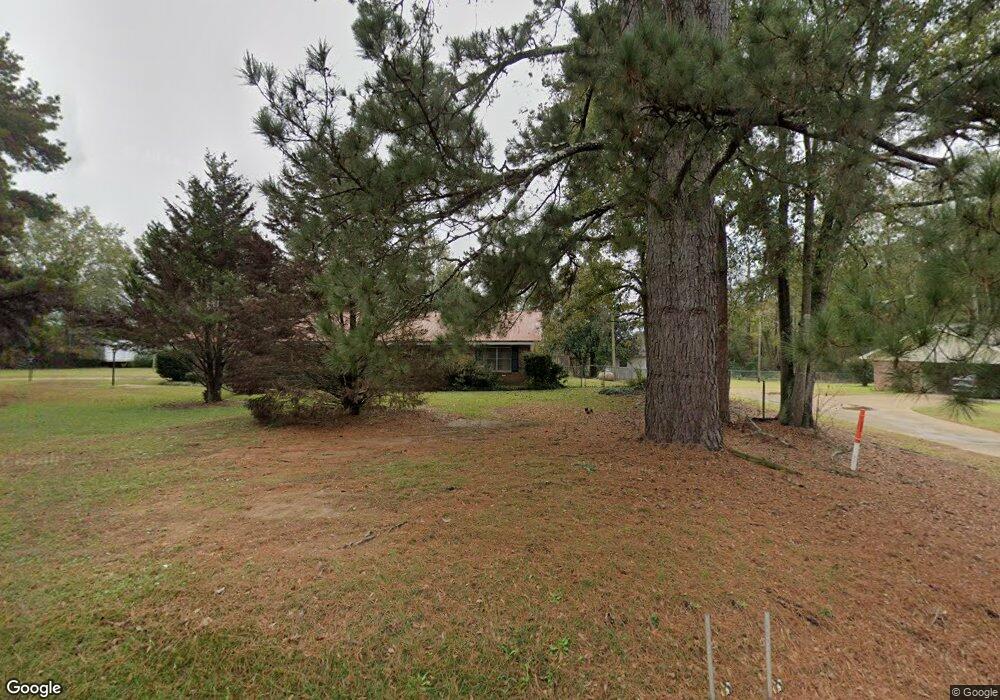
This home is located at 657 Simpson Highway 28 E, Magee, MS 39111 and is currently estimated at $271,323, approximately $83 per square foot. 657 Simpson Highway 28 E is a home located in Simpson County with nearby schools including Magee Elementary School, Magee Middle School, and Magee High School.
Ownership History
Date
Name
Owned For
Owner Type
Purchase Details
Closed on
Mar 18, 2022
Sold by
Maddox Iii Allen R
Bought by
Burton Shawn Douglas and Burton Josefina Yolanda
Current Estimated Value
Home Financials for this Owner
Home Financials are based on the most recent Mortgage that was taken out on this home.
Original Mortgage
$289,999
Interest Rate
4.16%
Purchase Details
Closed on
Oct 13, 2020
Sold by
Everett Robert L and Everett Jane S
Bought by
Everett Robert L and Everett Jane S
Purchase Details
Closed on
Aug 17, 2018
Sold by
Unknown
Bought by
Maddox Allen R
Purchase Details
Closed on
Feb 10, 2008
Sold by
Yelverton Dale and Baldwin Kenneth
Bought by
Maddox Allen Reed
Create a Home Valuation Report for This Property
The Home Valuation Report is an in-depth analysis detailing your home's value as well as a comparison with similar homes in the area
Purchase History
| Date | Buyer | Sale Price | Title Company |
|---|---|---|---|
| Burton Shawn Douglas | -- | Mcmillian Law Pllc | |
| Everett Robert L | -- | None Available | |
| Maddox Allen R | -- | -- | |
| Maddox Allen Reed | -- | -- |
Source: Public Records
Mortgage History
| Date | Status | Borrower | Loan Amount |
|---|---|---|---|
| Previous Owner | Burton Shawn Douglas | $289,999 |
Source: Public Records
Tax History
| Year | Tax Paid | Tax Assessment Tax Assessment Total Assessment is a certain percentage of the fair market value that is determined by local assessors to be the total taxable value of land and additions on the property. | Land | Improvement |
|---|---|---|---|---|
| 2025 | $376 | $10,792 | $0 | $0 |
| 2024 | $376 | $10,509 | $0 | $0 |
| 2023 | $898 | $9,811 | $0 | $0 |
| 2022 | $793 | $9,902 | $0 | $0 |
| 2021 | $774 | $9,926 | $0 | $0 |
| 2020 | $689 | $9,137 | $0 | $0 |
| 2019 | $679 | $9,442 | $0 | $0 |
| 2018 | $682 | $9,466 | $0 | $0 |
| 2017 | $679 | $9,439 | $0 | $0 |
| 2016 | $633 | $9,357 | $0 | $0 |
| 2015 | $594 | $9,294 | $0 | $0 |
| 2014 | $589 | $9,244 | $0 | $0 |
Source: Public Records
Map
Nearby Homes
- 283 Simpson Highway 28 E
- 0 County Road 63
- 149 John H Rd
- 485 Scr 62
- 391 Scr 62
- 0 Dry Creek Rd Unit 4141977
- 0 Dry Creek Rd Unit 4143424
- 1120 4th St SE
- 1120 3rd St SE
- 0 8th Ave Unit 4132915
- 702 2nd St SE
- 612 Laurel Dr SE
- 520 Choctaw St E
- 334 Goshen Rd
- 429 1st Ave NE
- 210 N Jadek Dr NE
- 227 1st St SW
- 104 Kaden Kove
- 212 2nd Ave SW
- 107 NE Adams Ave
- 105 Antioch Rd
- 1393 Saratoga Sharon Rd
- 625 Simpson Highway 28 E
- 1392 Saratoga Sharon Rd
- 682 Mississippi 28
- 618 Simpson Highway 28 E
- 117 Holt Dr
- 0 J N Kennedy Rd Unit J N
- 187 Jim Kennedy Rd
- 151 Mangum Garner Rd
- 108 Damron Dr
- 568 Hwy 28 E
- 568 Mississippi 28
- 123 Azalea Dr
- 573 Simpson Highway 28 E
- 568 Simpson Highway 28 E
- 123 Swan Dr
- 186 Antioch Rd
- 215 Antioch Rd
- 1323 Saratoga Sharon Rd
Your Personal Tour Guide
Ask me questions while you tour the home.