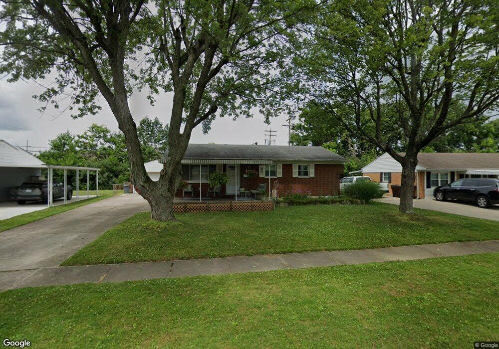
6571 Canastota Dr Hamilton, OH 45011
Fairfield Township NeighborhoodEstimated Value: $199,000 - $223,000
3
Beds
1
Bath
1,025
Sq Ft
$205/Sq Ft
Est. Value
About This Home
This home is located at 6571 Canastota Dr, Hamilton, OH 45011 and is currently estimated at $210,183, approximately $205 per square foot. 6571 Canastota Dr is a home located in Butler County with nearby schools including Fairfield North Elementary School, Creekside Middle School, and Fairfield Senior High School.
Ownership History
Date
Name
Owned For
Owner Type
Purchase Details
Closed on
Jan 25, 2007
Sold by
Schwitalski Christopher S and Schwitalski Joann M
Bought by
Schwitalski Christopher S and Schwitalski Joann M
Current Estimated Value
Home Financials for this Owner
Home Financials are based on the most recent Mortgage that was taken out on this home.
Original Mortgage
$83,500
Interest Rate
6.31%
Mortgage Type
Stand Alone Refi Refinance Of Original Loan
Purchase Details
Closed on
Dec 6, 2006
Sold by
Merrill Linda Schwitalski and Schwitalski Linda L
Bought by
Schwitalski Christopher and Merrill Linda Schwitalski
Home Financials for this Owner
Home Financials are based on the most recent Mortgage that was taken out on this home.
Original Mortgage
$83,500
Interest Rate
6.31%
Mortgage Type
Stand Alone Refi Refinance Of Original Loan
Create a Home Valuation Report for This Property
The Home Valuation Report is an in-depth analysis detailing your home's value as well as a comparison with similar homes in the area
Home Values in the Area
Average Home Value in this Area
Purchase History
| Date | Buyer | Sale Price | Title Company |
|---|---|---|---|
| Schwitalski Christopher S | -- | First American Title Ins | |
| Schwitalski Christopher | -- | None Available |
Source: Public Records
Mortgage History
| Date | Status | Borrower | Loan Amount |
|---|---|---|---|
| Closed | Schwitalski Christopher S | $83,500 |
Source: Public Records
Tax History Compared to Growth
Tax History
| Year | Tax Paid | Tax Assessment Tax Assessment Total Assessment is a certain percentage of the fair market value that is determined by local assessors to be the total taxable value of land and additions on the property. | Land | Improvement |
|---|---|---|---|---|
| 2024 | $1,997 | $53,110 | $8,720 | $44,390 |
| 2023 | $1,980 | $53,110 | $8,720 | $44,390 |
| 2022 | $2,130 | $41,950 | $8,720 | $33,230 |
| 2021 | $1,909 | $40,070 | $8,720 | $31,350 |
| 2020 | $1,963 | $40,070 | $8,720 | $31,350 |
| 2019 | $2,982 | $31,730 | $9,740 | $21,990 |
| 2018 | $1,785 | $31,730 | $9,740 | $21,990 |
| 2017 | $1,801 | $31,730 | $9,740 | $21,990 |
| 2016 | $1,813 | $30,270 | $9,740 | $20,530 |
| 2015 | $1,780 | $30,270 | $9,740 | $20,530 |
| 2014 | $1,948 | $30,270 | $9,740 | $20,530 |
| 2013 | $1,948 | $36,470 | $11,860 | $24,610 |
Source: Public Records
Map
Nearby Homes
- 6399 Kimberly Dr
- 0 Walden Ponds Cir Unit 1824952
- 2710 Zoellners Way
- 0 Princeton Unit 1824961
- 6864 Beagle Dr
- 2661 Apex Ct
- 2644 Apex Ct
- 2610 Fairfield Ridge Dr
- 14 Dorsey Dr
- 76 Hastings Ave
- 2638 Arroyo Ridge Ct
- 6322 Sand Ridge Ct
- 2345 Hamilton Middletown Rd
- 3080 Shoreacres
- 6664 Creekside Way
- 6145 Gristmill Dr Unit 10
- 6145 Gristmill Dr
- 6478 Holly Ln
- 2844 Ashton Cir Unit 22844
- 6047 Allison Ave
- 6563 Canastota Dr
- 2484 Service Ln
- 6557 Canastota Dr
- 6570 Canastota Dr
- 6582 Canastota Dr
- 6549 Canastota Dr
- 2470 Princeton Rd
- 2527 Urmston Ave
- 2526 Service Ln
- 2518 Urmston Ave
- 6543 Canastota Dr
- 2538 Service Ln
- 2534 Urmston Ave
- 6535 Canastota Dr
- 2551 Urmston Ave
- 6536 Canastota Dr
- 2550 Service Ln
- 6525 Ravena Dr
- 2552 Urmston Ave
- 2563 Urmston Ave