Estimated Value: $568,000 - $665,614
3
Beds
4
Baths
2,800
Sq Ft
$220/Sq Ft
Est. Value
About This Home
This home is located at 65721 Grays Corner Rd, Cove, OR 97824 and is currently estimated at $616,807, approximately $220 per square foot. 65721 Grays Corner Rd is a home located in Union County.
Ownership History
Date
Name
Owned For
Owner Type
Purchase Details
Closed on
Oct 4, 2024
Sold by
Wells Fargo Bank Na
Bought by
Federal National Mortgage Association
Current Estimated Value
Purchase Details
Closed on
Sep 24, 2024
Sold by
Logs Legal Group Llp
Bought by
Wells Fargo Bank Na
Purchase Details
Closed on
Dec 7, 2015
Sold by
Westover Robert B and Westover Julie M
Bought by
Westover Robert B
Home Financials for this Owner
Home Financials are based on the most recent Mortgage that was taken out on this home.
Original Mortgage
$345,000
Interest Rate
3.83%
Mortgage Type
New Conventional
Create a Home Valuation Report for This Property
The Home Valuation Report is an in-depth analysis detailing your home's value as well as a comparison with similar homes in the area
Home Values in the Area
Average Home Value in this Area
Purchase History
| Date | Buyer | Sale Price | Title Company |
|---|---|---|---|
| Federal National Mortgage Association | -- | None Listed On Document | |
| Wells Fargo Bank Na | $396,959 | None Listed On Document | |
| Westover Robert B | -- | First American Title |
Source: Public Records
Mortgage History
| Date | Status | Borrower | Loan Amount |
|---|---|---|---|
| Previous Owner | Westover Robert B | $345,000 |
Source: Public Records
Tax History Compared to Growth
Tax History
| Year | Tax Paid | Tax Assessment Tax Assessment Total Assessment is a certain percentage of the fair market value that is determined by local assessors to be the total taxable value of land and additions on the property. | Land | Improvement |
|---|---|---|---|---|
| 2024 | $3,499 | $315,050 | $10,490 | $304,560 |
| 2023 | $3,577 | $306,000 | $10,310 | $295,690 |
| 2022 | $3,636 | $297,236 | $10,139 | $287,097 |
| 2021 | $3,547 | $289,389 | $10,654 | $278,735 |
| 2020 | $3,388 | $281,098 | $10,481 | $270,617 |
| 2019 | $3,253 | $273,047 | $10,312 | $262,735 |
| 2018 | $3,134 | $265,231 | $10,148 | $255,083 |
| 2017 | $3,165 | $257,644 | $9,990 | $247,654 |
| 2016 | $3,100 | $250,276 | $9,835 | $240,441 |
| 2015 | $3,020 | $243,123 | $9,685 | $233,438 |
| 2014 | $3,050 | $251,072 | $9,539 | $241,533 |
| 2013 | $3,049 | $243,897 | $9,398 | $234,499 |
Source: Public Records
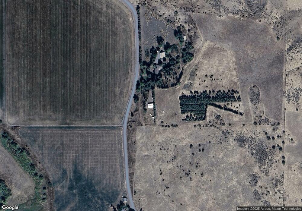
Map
Nearby Homes
- 460 7th St
- 710 Esther Ave
- 416 4th St
- 65255 Hunter Rd
- 209 Main St
- 63563 Booth Ln
- 67138 Hunter Rd
- 63881 Lester Rd
- 61993 Quail Rd
- 10203 S Mcalister Rd
- 10704 White Birch Ln
- 10102 Emily Dr
- 67388 Timberline Rd
- 62218 Robin Rd Unit 34
- 0 Walton Rd Unit 546563801
- 62077 Evergreen Rd
- 10907 Kristin Way
- 10913 Kristin Way
- 10306 Leonard Ln
- 10907 Julie Way