6575 S Taylor Rd Scottsburg, IN 47170
Estimated Value: $221,000 - $294,041
3
Beds
2
Baths
1,248
Sq Ft
$209/Sq Ft
Est. Value
About This Home
This home is located at 6575 S Taylor Rd, Scottsburg, IN 47170 and is currently estimated at $260,510, approximately $208 per square foot. 6575 S Taylor Rd is a home located in Scott County with nearby schools including Scottsburg Senior High School.
Ownership History
Date
Name
Owned For
Owner Type
Purchase Details
Closed on
Apr 29, 2016
Sold by
Alumbaugh Harold S and Alumbaugh Jaime K
Bought by
Ward David R and Ward Carol A
Current Estimated Value
Home Financials for this Owner
Home Financials are based on the most recent Mortgage that was taken out on this home.
Original Mortgage
$137,000
Outstanding Balance
$109,239
Interest Rate
3.71%
Mortgage Type
VA
Estimated Equity
$151,271
Purchase Details
Closed on
Jul 25, 2001
Sold by
West Marion D and West Christine M
Bought by
Alumbaugh Harold S and Alumbaugh Jaime K
Create a Home Valuation Report for This Property
The Home Valuation Report is an in-depth analysis detailing your home's value as well as a comparison with similar homes in the area
Home Values in the Area
Average Home Value in this Area
Purchase History
| Date | Buyer | Sale Price | Title Company |
|---|---|---|---|
| Ward David R | -- | Horne Title | |
| Alumbaugh Harold S | $137,500 | -- |
Source: Public Records
Mortgage History
| Date | Status | Borrower | Loan Amount |
|---|---|---|---|
| Open | Ward David R | $137,000 |
Source: Public Records
Tax History Compared to Growth
Tax History
| Year | Tax Paid | Tax Assessment Tax Assessment Total Assessment is a certain percentage of the fair market value that is determined by local assessors to be the total taxable value of land and additions on the property. | Land | Improvement |
|---|---|---|---|---|
| 2024 | $885 | $158,600 | $19,900 | $138,700 |
| 2023 | $868 | $161,200 | $19,300 | $141,900 |
| 2022 | $861 | $157,200 | $18,600 | $138,600 |
| 2021 | $754 | $146,000 | $18,200 | $127,800 |
| 2020 | $624 | $136,100 | $18,200 | $117,900 |
| 2019 | $565 | $130,800 | $18,700 | $112,100 |
| 2018 | $591 | $127,900 | $15,800 | $112,100 |
| 2017 | $533 | $124,300 | $16,200 | $108,100 |
| 2016 | $957 | $123,100 | $16,400 | $106,700 |
| 2014 | $894 | $115,900 | $16,500 | $99,400 |
| 2013 | $894 | $115,400 | $16,000 | $99,400 |
Source: Public Records
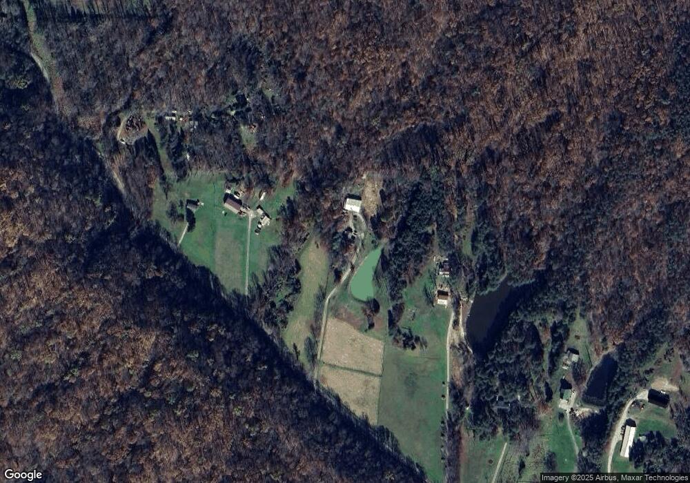
Map
Nearby Homes
- 132 S Garrison Hollow Rd
- 1865 Augusta Blvd
- 10097 E State Rd 160
- 3962 S Fire Lane Rd
- 3961 S Ray Rd
- 2698 S Mount Zion Church Rd
- 10351 Brownstown Rd
- 10219 Brownstown Rd
- 22826 East St
- 304 Smith Rd
- 8091 E New Philadelphia Rd
- 11213 E Old State Road 56
- 90 W Pigeon Ridge Ct
- 516 E County Line Rd
- 10832 E Old State Road 56
- 2672 S Lake Rd S
- 1185 S Moon Rd
- 1143 S Moon Rd
- 0 W Leota Rd
- 2 N Leval Ratt Rd
- 6549 S Taylor Rd
- 6535 S Taylor Rd
- 6535 S Taylor Rd
- 6669 S Taylor Rd
- 6691 S Taylor Rd
- 6735 S Taylor Rd
- 6680 S Taylor Rd
- 6757 S Taylor Rd
- 6345 S Taylor Rd
- 6301 S Taylor Rd
- 6855 S Taylor Rd
- 6887 S Taylor Rd
- 7177 S Liberty Knob Rd
- 7416 S Liberty Knob Rd
- 4425 W Salem Rd
- 6218 S Liberty Knob Rd
- 7510 S Liberty Knob Rd