6579 Noble Rd Unit 25 West Bloomfield, MI 48322
Estimated Value: $327,000 - $338,000
2
Beds
3
Baths
1,999
Sq Ft
$166/Sq Ft
Est. Value
About This Home
This home is located at 6579 Noble Rd Unit 25, West Bloomfield, MI 48322 and is currently estimated at $331,410, approximately $165 per square foot. 6579 Noble Rd Unit 25 is a home located in Oakland County with nearby schools including Walled Lake Central High School, The Susan And Rabbi Harold Loss Ecc, and Brookfield Academy - West Bloomfield.
Ownership History
Date
Name
Owned For
Owner Type
Purchase Details
Closed on
Jun 28, 2013
Sold by
Parsons Maxwell G and Parsons Mary L
Bought by
Mckay Nancy
Current Estimated Value
Home Financials for this Owner
Home Financials are based on the most recent Mortgage that was taken out on this home.
Original Mortgage
$55,000
Outstanding Balance
$40,162
Interest Rate
4.02%
Mortgage Type
New Conventional
Estimated Equity
$291,248
Purchase Details
Closed on
Oct 6, 1994
Sold by
Lindeborg Gerald F
Bought by
Parsons Maxwell G and Parsons Mary L
Home Financials for this Owner
Home Financials are based on the most recent Mortgage that was taken out on this home.
Original Mortgage
$129,600
Interest Rate
6%
Mortgage Type
New Conventional
Create a Home Valuation Report for This Property
The Home Valuation Report is an in-depth analysis detailing your home's value as well as a comparison with similar homes in the area
Home Values in the Area
Average Home Value in this Area
Purchase History
| Date | Buyer | Sale Price | Title Company |
|---|---|---|---|
| Mckay Nancy | $189,900 | Fat | |
| Parsons Maxwell G | $162,000 | -- |
Source: Public Records
Mortgage History
| Date | Status | Borrower | Loan Amount |
|---|---|---|---|
| Open | Mckay Nancy | $55,000 | |
| Previous Owner | Parsons Maxwell G | $129,600 |
Source: Public Records
Tax History Compared to Growth
Tax History
| Year | Tax Paid | Tax Assessment Tax Assessment Total Assessment is a certain percentage of the fair market value that is determined by local assessors to be the total taxable value of land and additions on the property. | Land | Improvement |
|---|---|---|---|---|
| 2024 | $1,796 | $144,440 | $0 | $0 |
| 2022 | $1,693 | $125,210 | $27,000 | $98,210 |
| 2021 | $2,785 | $120,320 | $0 | $0 |
| 2020 | $1,674 | $119,910 | $27,450 | $92,460 |
| 2018 | $2,711 | $109,310 | $27,450 | $81,860 |
| 2015 | -- | $77,390 | $0 | $0 |
| 2014 | -- | $73,050 | $0 | $0 |
| 2011 | -- | $74,880 | $0 | $0 |
Source: Public Records
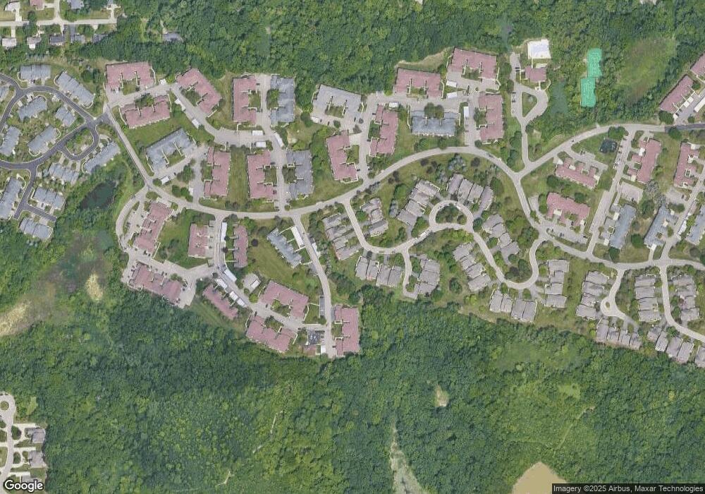
Map
Nearby Homes
- 6196 Celeste Rd
- VL Leytonstone Blvd
- 6606 Leytonstone Blvd
- 5616 Hillcrest Cir W
- 5570 Wildrose Ave
- 5676 Hillcrest Cir E
- 0000 Blue Jay Way
- 6960 Long Ave
- 6433 Walnut Lake Rd
- 5679 Branford Dr
- 7220 Essex Dr
- 6517 Chelsea Bridge
- 5965 Crestwood Dr
- 6986 Crosswell Dr
- 6993 Crosswell Dr
- 5512 Essex Ct
- 5835 Drake Rd
- 6740 Ridgefield Cir Unit 103
- 7230 Walnut Lake Rd
- 6540 Ridgefield Cir Unit 204
- 6581 Noble Rd Unit 26
- 6577 Noble Rd
- 6583 Noble Rd
- 6575 Noble Rd Unit 23
- 6580 Noble Rd Unit 30
- 6573 Noble Rd
- 6582 Noble Rd Unit 29
- 6584 Noble Rd
- 6584 Noble Rd Unit 28
- 6571 Noble Rd
- 6569 Pastor Ct Unit 20
- 6569 Pastor Ct Unit 20
- 6560 Noble Rd
- 6550 Noble Ct
- 6550 Noble Ct Unit 32
- 6545 Pastor Ct
- 6545 Pastor Ct
- 6555 Pastor Ct Unit 18
- 6555 Pastor Ct
- 6565 Pastor Ct Unit 19