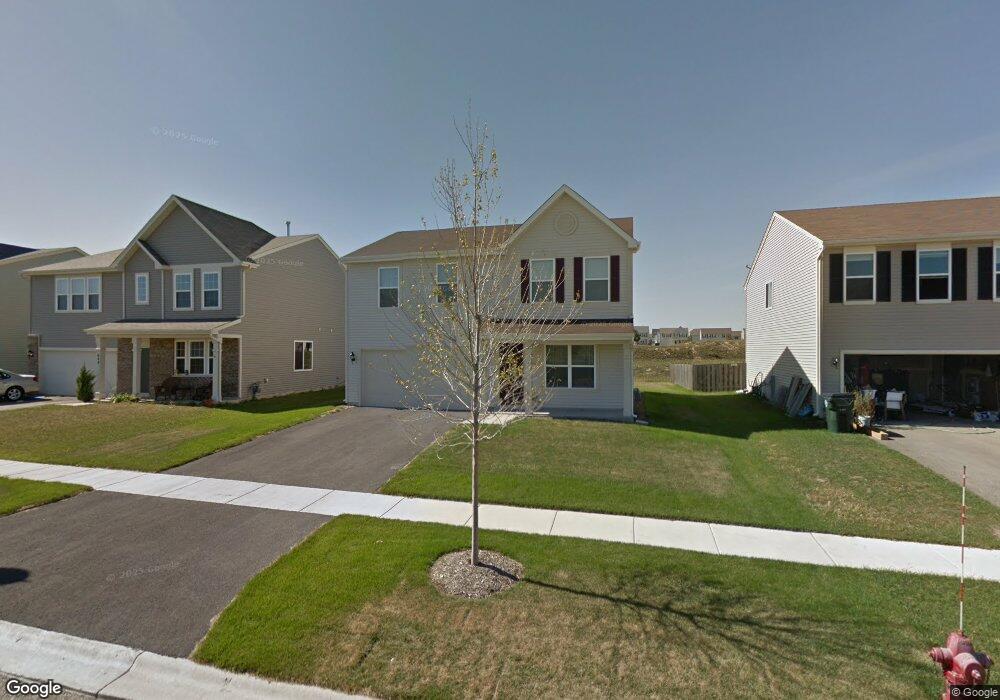
658 Dover St Pingree Grove, IL 60140
Estimated Value: $356,000 - $419,000
3
Beds
2
Baths
1,805
Sq Ft
$208/Sq Ft
Est. Value
About This Home
This home is located at 658 Dover St, Pingree Grove, IL 60140 and is currently estimated at $376,075, approximately $208 per square foot. 658 Dover St is a home located in Kane County with nearby schools including Hampshire Middle School, Hampshire High School, and Cambridge Lakes Charter School.
Ownership History
Date
Name
Owned For
Owner Type
Purchase Details
Closed on
Jul 13, 2012
Sold by
Drh Cambridge Homes Inc
Bought by
Dorgan Mark
Current Estimated Value
Home Financials for this Owner
Home Financials are based on the most recent Mortgage that was taken out on this home.
Original Mortgage
$61,034
Outstanding Balance
$42,250
Interest Rate
3.73%
Mortgage Type
New Conventional
Estimated Equity
$333,825
Create a Home Valuation Report for This Property
The Home Valuation Report is an in-depth analysis detailing your home's value as well as a comparison with similar homes in the area
Home Values in the Area
Average Home Value in this Area
Purchase History
| Date | Buyer | Sale Price | Title Company |
|---|---|---|---|
| Dorgan Mark | $161,500 | First American Title |
Source: Public Records
Mortgage History
| Date | Status | Borrower | Loan Amount |
|---|---|---|---|
| Open | Dorgan Mark | $61,034 |
Source: Public Records
Tax History
| Year | Tax Paid | Tax Assessment Tax Assessment Total Assessment is a certain percentage of the fair market value that is determined by local assessors to be the total taxable value of land and additions on the property. | Land | Improvement |
|---|---|---|---|---|
| 2024 | $8,123 | $100,831 | $30,777 | $70,054 |
| 2023 | $7,896 | $91,183 | $27,832 | $63,351 |
| 2022 | $7,412 | $80,410 | $25,661 | $54,749 |
| 2021 | $7,222 | $75,631 | $24,136 | $51,495 |
| 2020 | $7,099 | $73,700 | $23,520 | $50,180 |
| 2019 | $6,958 | $70,736 | $22,574 | $48,162 |
| 2018 | $6,779 | $66,387 | $21,186 | $45,201 |
| 2017 | $6,639 | $63,219 | $20,175 | $43,044 |
| 2016 | $6,602 | $60,186 | $19,207 | $40,979 |
| 2015 | -- | $56,843 | $18,140 | $38,703 |
| 2014 | -- | $51,828 | $15,630 | $36,198 |
| 2013 | -- | $52,778 | $15,917 | $36,861 |
Source: Public Records
Map
Nearby Homes
- 700 Brighton Dr
- 560 Canterbury Ln
- 460 Lancaster Dr
- 887 Emerald Dr Unit 2
- Lot 019 Old Stage Rd
- 932 Clover Ln
- 1255 Waterfront Ln
- 1594 Hannah Ln Unit 1112
- 1286 Newport Cir
- 1639 Rochester Rd
- 1385 Broadland Dr
- 3301 U S 20
- 1192 Alta Vista Dr
- 1838 Southern Cir Unit 1838
- 672 N Falls Cir
- 920 Prescott Ln
- 935 Carolina Ct
- 870 Prescott Ln
- 1093 Glendale Rd
- 1055 Williamsburg St