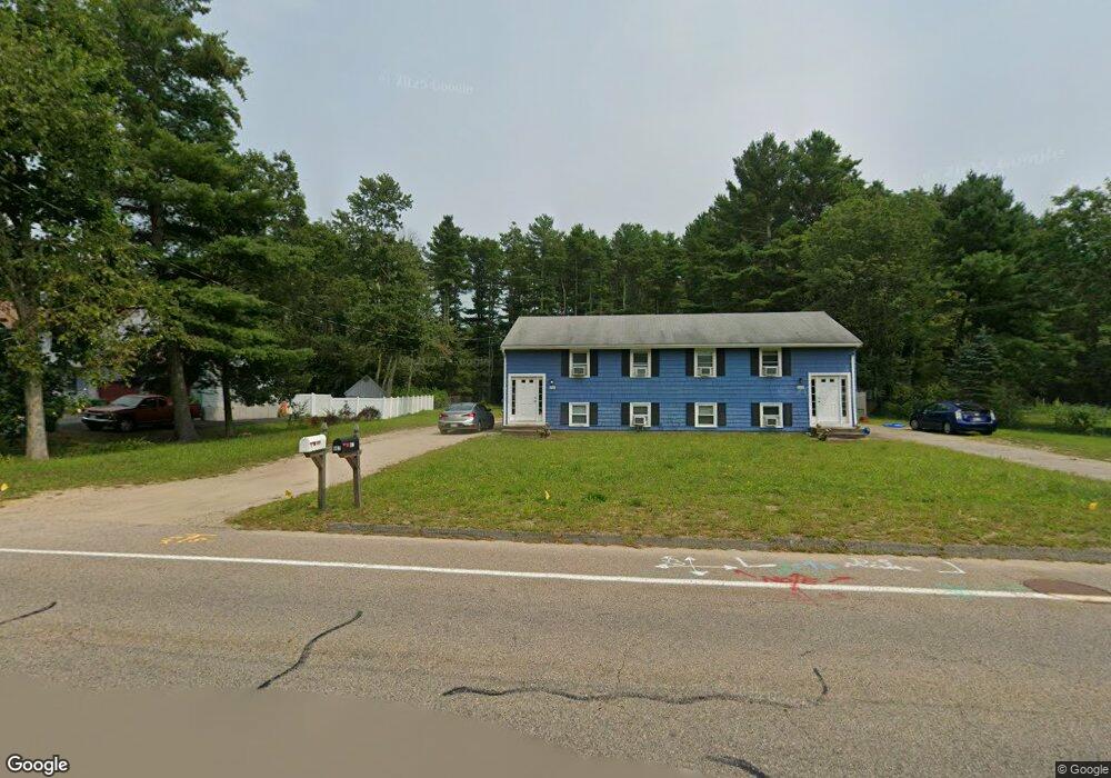
658 Elm St Unit 662 Mansfield, MA 02048
Estimated Value: $643,854 - $704,000
3
Beds
3
Baths
1,300
Sq Ft
$514/Sq Ft
Est. Value
About This Home
This home is located at 658 Elm St Unit 662, Mansfield, MA 02048 and is currently estimated at $668,285, approximately $514 per square foot. 658 Elm St Unit 662 is a home located in Bristol County with nearby schools including Everett W. Robinson Elementary School, Jordan/Jackson Elementary School, and Harold L. Qualters Middle School.
Ownership History
Date
Name
Owned For
Owner Type
Purchase Details
Closed on
Sep 22, 2020
Sold by
Connell Edward T and Connell Jeannette
Bought by
E & Jennette Connell Irt
Current Estimated Value
Create a Home Valuation Report for This Property
The Home Valuation Report is an in-depth analysis detailing your home's value as well as a comparison with similar homes in the area
Home Values in the Area
Average Home Value in this Area
Purchase History
| Date | Buyer | Sale Price | Title Company |
|---|---|---|---|
| E & Jennette Connell Irt | -- | None Available |
Source: Public Records
Tax History
| Year | Tax Paid | Tax Assessment Tax Assessment Total Assessment is a certain percentage of the fair market value that is determined by local assessors to be the total taxable value of land and additions on the property. | Land | Improvement |
|---|---|---|---|---|
| 2025 | $7,398 | $561,700 | $242,100 | $319,600 |
| 2024 | $6,920 | $512,600 | $242,100 | $270,500 |
| 2023 | $6,755 | $479,400 | $242,100 | $237,300 |
| 2022 | $6,819 | $449,500 | $224,100 | $225,400 |
| 2021 | $6,356 | $390,400 | $196,200 | $194,200 |
| 2020 | $5,854 | $381,100 | $186,900 | $194,200 |
| 2019 | $5,102 | $335,200 | $155,600 | $179,600 |
| 2018 | $4,138 | $320,700 | $148,400 | $172,300 |
| 2017 | $4,093 | $272,500 | $144,200 | $128,300 |
| 2016 | $4,004 | $259,800 | $137,300 | $122,500 |
| 2015 | $3,956 | $255,200 | $137,300 | $117,900 |
Source: Public Records
Map
Nearby Homes
- 2 Oak St Unit 2B
- 451R Gilbert St
- 44 Surrey Dr
- 71 Richardson Ave
- 143 Oak St Unit 10
- 14 Claire Ave
- 5 Village Way Unit C
- 10 Anna Way
- 343 Godfrey Dr
- 101 Godfrey Dr Unit 101
- 250 Mansfield Ave Unit 11
- 150 Gilbert St
- 345 Richardson Ave
- 49 Pheasant Hill Rd
- 17 Village Way Unit F
- 85 Jewell St
- 157 Mansfield Ave Unit 27
- 157 Mansfield Ave Unit 14
- 933 Pleasant St
- 123 Pike Ave
Your Personal Tour Guide
Ask me questions while you tour the home.