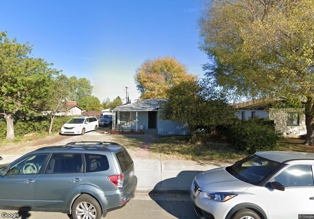
658 Grant Ave El Cajon, CA 92020
Estimated Value: $681,000 - $863,000
3
Beds
2
Baths
1,556
Sq Ft
$485/Sq Ft
Est. Value
About This Home
This home is located at 658 Grant Ave, El Cajon, CA 92020 and is currently estimated at $754,496, approximately $484 per square foot. 658 Grant Ave is a home located in San Diego County with nearby schools including Chase Avenue Elementary School, Cajon Valley Middle School, and Grossmont High School.
Ownership History
Date
Name
Owned For
Owner Type
Purchase Details
Closed on
Aug 29, 2017
Sold by
Worcester John and Worcester Diane
Bought by
Wical David and Wical Natalie
Current Estimated Value
Home Financials for this Owner
Home Financials are based on the most recent Mortgage that was taken out on this home.
Original Mortgage
$431,073
Outstanding Balance
$360,266
Interest Rate
3.93%
Mortgage Type
VA
Estimated Equity
$394,230
Purchase Details
Closed on
Mar 16, 2012
Sold by
Worcester John and Worcester Diane
Bought by
Worcester John and Worcester Diane
Purchase Details
Closed on
Apr 11, 2010
Sold by
Cole Paul S
Bought by
Worcester John and Worcester Diane
Home Financials for this Owner
Home Financials are based on the most recent Mortgage that was taken out on this home.
Original Mortgage
$176,250
Interest Rate
5.05%
Mortgage Type
New Conventional
Create a Home Valuation Report for This Property
The Home Valuation Report is an in-depth analysis detailing your home's value as well as a comparison with similar homes in the area
Purchase History
| Date | Buyer | Sale Price | Title Company |
|---|---|---|---|
| Wical David | $422,000 | Corinthian Title Company | |
| Worcester John | -- | None Available | |
| Worcester John | $235,000 | First American Title Company |
Source: Public Records
Mortgage History
| Date | Status | Borrower | Loan Amount |
|---|---|---|---|
| Open | Wical David | $431,073 | |
| Previous Owner | Worcester John | $176,250 |
Source: Public Records
Tax History
| Year | Tax Paid | Tax Assessment Tax Assessment Total Assessment is a certain percentage of the fair market value that is determined by local assessors to be the total taxable value of land and additions on the property. | Land | Improvement |
|---|---|---|---|---|
| 2025 | $6,644 | $480,159 | $369,792 | $110,367 |
| 2024 | $6,644 | $470,745 | $362,542 | $108,203 |
| 2023 | $6,419 | $461,516 | $355,434 | $106,082 |
| 2022 | $6,216 | $452,467 | $348,465 | $104,002 |
| 2021 | $6,147 | $443,596 | $341,633 | $101,963 |
| 2020 | $5,839 | $439,048 | $338,130 | $100,918 |
| 2019 | $5,185 | $430,440 | $331,500 | $98,940 |
| 2018 | $5,185 | $422,000 | $325,000 | $97,000 |
| 2017 | $3,249 | $261,364 | $91,200 | $170,164 |
| 2016 | $3,119 | $256,240 | $89,412 | $166,828 |
| 2015 | $3,104 | $252,392 | $88,069 | $164,323 |
| 2014 | $3,044 | $247,449 | $86,344 | $161,105 |
Source: Public Records
Map
Nearby Homes
- 726 Paulsen Ave
- 686 Van Houten Ave
- 855 Franklin Ave Unit 57
- 1000 Estes St Unit 44
- 1000 Estes St Unit 35
- 403 Emerald Ave Unit 8
- 1069 Estes St
- 652 S Orange Ave
- 1111 Boulevard Place
- 1178 Eucalyptus Dr
- 1002 W Chase Ave
- 306 Richardson Ave Unit 10
- 545 Sandstone Ct
- 514 Cobblestone Ct
- 508 Cobblestone Ct
- 261 Gateway Ct
- 154 Lindell Ave
- 520 Cobblestone Ct
- 333 W Lexington Ave Unit D
- 513 Sandstone Ct
- 644 Grant Ave
- 670 Grant Ave
- 630 Grant Ave
- 686 Grant Ave
- 649 Patricia Ln
- 631 Patricia Ln
- 661 Patricia Ln
- 614 Grant Ave
- 694 Grant Ave
- 623 Patricia Ln
- 675 Patricia Ln
- 611 Patricia Ln
- 689 Patricia Ln
- 790 Emerald Ave
- 775 S Johnson Ave
- 697 Patricia Ln
- 603 Patricia Ln
- 638 Patricia Ln
- 654 Patricia Ln
- 630 Patricia Ln
Your Personal Tour Guide
Ask me questions while you tour the home.