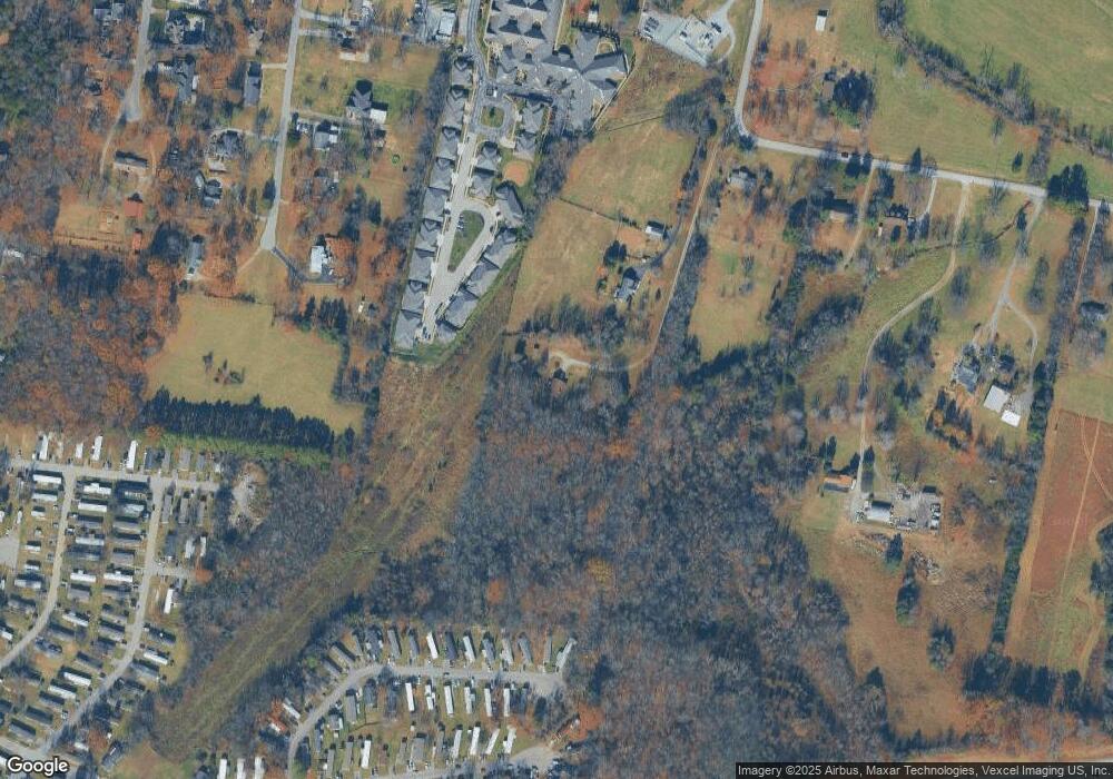
658 NW Rutland Rd Mount Juliet, TN 37122
Estimated Value: $593,000 - $850,000
--
Bed
2
Baths
2,494
Sq Ft
$282/Sq Ft
Est. Value
About This Home
This home is located at 658 NW Rutland Rd, Mount Juliet, TN 37122 and is currently estimated at $702,873, approximately $281 per square foot. 658 NW Rutland Rd is a home located in Wilson County with nearby schools including Stoner Creek Elementary School, West Wilson Middle School, and Mt. Juliet High School.
Ownership History
Date
Name
Owned For
Owner Type
Purchase Details
Closed on
Dec 17, 2020
Sold by
Humphreys Carolyn G and Swift Carolyn G
Bought by
Humphreys Carolyn G and The Carolyn G Humphreys Living
Current Estimated Value
Purchase Details
Closed on
Dec 19, 1990
Bought by
Swift Carolyn G
Purchase Details
Closed on
Feb 12, 1976
Bought by
Clymer Bud A
Create a Home Valuation Report for This Property
The Home Valuation Report is an in-depth analysis detailing your home's value as well as a comparison with similar homes in the area
Home Values in the Area
Average Home Value in this Area
Purchase History
| Date | Buyer | Sale Price | Title Company |
|---|---|---|---|
| Humphreys Carolyn G | -- | None Available | |
| Swift Carolyn G | -- | -- | |
| Clymer Bud A | -- | -- |
Source: Public Records
Tax History Compared to Growth
Tax History
| Year | Tax Paid | Tax Assessment Tax Assessment Total Assessment is a certain percentage of the fair market value that is determined by local assessors to be the total taxable value of land and additions on the property. | Land | Improvement |
|---|---|---|---|---|
| 2024 | $2,221 | $116,325 | $58,925 | $57,400 |
| 2022 | $2,215 | $116,025 | $58,925 | $57,100 |
| 2021 | $2,215 | $116,025 | $58,925 | $57,100 |
| 2020 | $1,763 | $116,025 | $58,925 | $57,100 |
| 2019 | $1,763 | $70,000 | $29,125 | $40,875 |
| 2018 | $1,763 | $70,000 | $29,125 | $40,875 |
| 2017 | $1,763 | $70,000 | $29,125 | $40,875 |
| 2016 | $1,763 | $70,000 | $29,125 | $40,875 |
| 2015 | $1,799 | $70,000 | $29,125 | $40,875 |
| 2014 | $1,670 | $64,960 | $0 | $0 |
Source: Public Records
Map
Nearby Homes
- 4600 Boxcroft Cir
- 2019 Hidden Cove Rd
- 3294 Camden Ct
- 3020 Kingston Cir N
- 2031 Hidden Cove Rd
- Finley Plan at Bradshaw Farms - Cottages
- Amberbrook Plan at Bradshaw Farms - Cottages
- Harrison Plan at Bradshaw Farms - Cottages
- 112 Crosby Dr
- Chadwick Plan at Bradshaw Farms - Cottages
- 3435 Weston Dr
- 2116 Putnam Ln
- 3055 Kirkland Cir
- 431 Waterbrook Dr
- 2976 Kingston Cir S
- 3059 Kirkland Cir
- 3067 Kirkland Cir
- 3061 Kirkland Cir
- 3063 Kirkland Cir
- 532 Millwood Ln
- 654 NW Rutland Rd
- 140 Lane Dr
- 668 NW Rutland Rd
- 782 NW Rutland Rd
- 640 NW Rutland Rd
- 138 Lane Dr
- 266 Drury Ln
- 836 NW Rutland Rd
- 722 NW Rutland Rd
- 136 Lane Dr
- 136B Lane Dr
- 141 Lane Dr
- 134 Lane Dr
- 752 NW Rutland Rd
- 143 Lane Dr
- 631 NW Rutland Rd
- 494 NW Rutland Rd
- 139 Lane Dr
- 830 NW Rutland Rd
- 135 Lane Dr
