6580 Central Dr Conover, NC 28613
Lake Hickory NeighborhoodEstimated Value: $476,000 - $985,000
4
Beds
3
Baths
3,395
Sq Ft
$244/Sq Ft
Est. Value
About This Home
This home is located at 6580 Central Dr, Conover, NC 28613 and is currently estimated at $827,206, approximately $243 per square foot. 6580 Central Dr is a home located in Catawba County with nearby schools including Oxford Elementary School, River Bend Middle School, and Bunker Hill High School.
Ownership History
Date
Name
Owned For
Owner Type
Purchase Details
Closed on
Jun 23, 2009
Sold by
Coley Billy G and Coley Laura Rea Orsborn
Bought by
Coley Billy G and Coley Laura Rea Orsborn
Current Estimated Value
Purchase Details
Closed on
Jul 31, 2008
Sold by
Collett Mary Virginia Coley
Bought by
Coley Billy G
Purchase Details
Closed on
Aug 1, 1991
Bought by
Coley Billy Garrison and Coley Dorcas
Create a Home Valuation Report for This Property
The Home Valuation Report is an in-depth analysis detailing your home's value as well as a comparison with similar homes in the area
Home Values in the Area
Average Home Value in this Area
Purchase History
We collect this data history from publicly available records. To have your information removed, we recommend requesting removal directly through your county’s website.
| Date | Buyer | Sale Price | Title Company |
|---|---|---|---|
| Coley Billy G | -- | None Available | |
| Coley Billy G | -- | None Available | |
| Coley Billy Garrison | $12,000 | -- |
Source: Public Records
Tax History
| Year | Tax Paid | Tax Assessment Tax Assessment Total Assessment is a certain percentage of the fair market value that is determined by local assessors to be the total taxable value of land and additions on the property. | Land | Improvement |
|---|---|---|---|---|
| 2025 | $2,349 | $511,200 | $128,500 | $382,700 |
| 2024 | $2,349 | $511,200 | $128,500 | $382,700 |
| 2023 | $2,349 | $335,100 | $82,600 | $252,500 |
| 2022 | $2,145 | $335,100 | $82,600 | $252,500 |
| 2021 | $2,145 | $335,100 | $82,600 | $252,500 |
| 2020 | $2,145 | $335,100 | $82,600 | $252,500 |
| 2019 | $2,145 | $335,100 | $0 | $0 |
| 2018 | $1,781 | $278,300 | $82,600 | $195,700 |
| 2017 | $1,781 | $0 | $0 | $0 |
| 2016 | $1,781 | $0 | $0 | $0 |
| 2015 | $1,817 | $278,280 | $82,600 | $195,680 |
| 2014 | $1,817 | $310,100 | $83,000 | $227,100 |
Source: Public Records
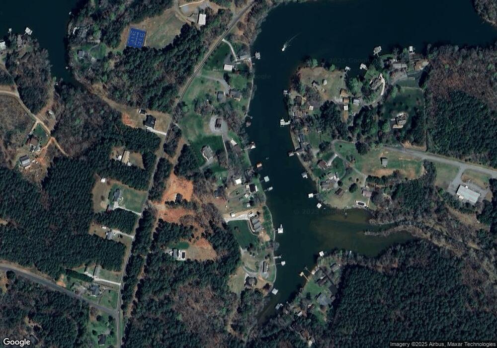
Map
Nearby Homes
- 6692 Valwood Rd
- 6566 Harbor Ln
- 6530 Curlee Rd
- 157 Whittington Ridge Dr
- 166 Mull Dr
- 15 Mull Dr
- 6343 Huntington Ln Unit 1
- 75 Rutt Rd
- Lot 3 Sam Poole Ln
- 6234 Ruffin Ln
- 157 Franklin Ln
- 351 Kirkpatrick Rd
- 198 Clouse Ln
- 5405 Springs Rd Unit 3
- 873 Pine Tree Rd
- 4202 54th Ave NE
- 245 White Point Ln
- 1341 Misty Ln Unit 9
- 1285 Misty Ln Unit 6
- 1320 Misty Ln Unit 13
- 6576 Central Dr
- 6590 Central Dr
- 6606 Central Dr
- 6600 Central Dr
- 6554 Central Dr
- 6678 Dam Cove Rd
- 6690 Dam Cove Rd
- 1700 Claude Rd
- 6640 Valwood Rd
- 6698 Dam Cove Rd
- 1706 Claude Rd
- 1706 Claude Rd Unit 1
- 6540 Central Dr
- 6704 Dam Cove Rd
- 6609 Valwood Rd
- 6530 Central Dr
- 6524 Valwood Rd
- 1714 Claude Rd
- 6714 Dam Cove Rd
- 6652 Valwood Rd
Your Personal Tour Guide
Ask me questions while you tour the home.