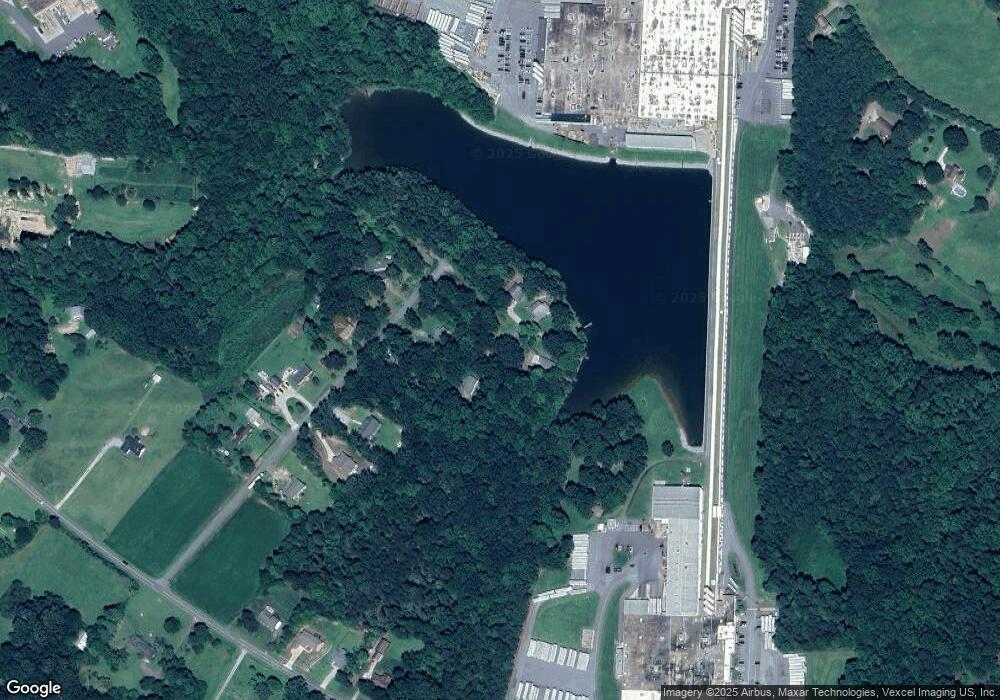
6581 Barnette Dr Catawba, NC 28609
Estimated Value: $198,285 - $304,000
2
Beds
1
Bath
1,023
Sq Ft
$242/Sq Ft
Est. Value
About This Home
This home is located at 6581 Barnette Dr, Catawba, NC 28609 and is currently estimated at $247,071, approximately $241 per square foot. 6581 Barnette Dr is a home located in Catawba County with nearby schools including Bandys High School, Catawba Elementary School, and Mill Creek Middle School.
Ownership History
Date
Name
Owned For
Owner Type
Purchase Details
Closed on
Oct 25, 2021
Sold by
Suttles Lawrence D and Suttles Janice
Bought by
Pope Teresa and Pope Jeffery
Current Estimated Value
Home Financials for this Owner
Home Financials are based on the most recent Mortgage that was taken out on this home.
Original Mortgage
$91,191
Outstanding Balance
$80,995
Interest Rate
2.8%
Mortgage Type
FHA
Estimated Equity
$166,076
Purchase Details
Closed on
Aug 1, 1987
Bought by
Suttles Lawrence David and Suttles Bo
Create a Home Valuation Report for This Property
The Home Valuation Report is an in-depth analysis detailing your home's value as well as a comparison with similar homes in the area
Home Values in the Area
Average Home Value in this Area
Purchase History
| Date | Buyer | Sale Price | Title Company |
|---|---|---|---|
| Pope Teresa | $220 | New Title Company Name | |
| Suttles Lawrence David | $29,500 | -- |
Source: Public Records
Mortgage History
| Date | Status | Borrower | Loan Amount |
|---|---|---|---|
| Open | Pope Teresa | $91,191 |
Source: Public Records
Tax History Compared to Growth
Tax History
| Year | Tax Paid | Tax Assessment Tax Assessment Total Assessment is a certain percentage of the fair market value that is determined by local assessors to be the total taxable value of land and additions on the property. | Land | Improvement |
|---|---|---|---|---|
| 2025 | $744 | $149,300 | $10,600 | $138,700 |
| 2024 | $744 | $149,300 | $10,600 | $138,700 |
| 2023 | $712 | $79,900 | $7,100 | $72,800 |
| 2022 | $551 | $79,900 | $7,100 | $72,800 |
| 2021 | $551 | $79,900 | $7,100 | $72,800 |
| 2020 | $551 | $79,900 | $7,100 | $72,800 |
| 2019 | $522 | $79,900 | $0 | $0 |
| 2018 | $442 | $67,200 | $6,800 | $60,400 |
| 2017 | $442 | $0 | $0 | $0 |
| 2016 | $442 | $0 | $0 | $0 |
| 2015 | $434 | $67,220 | $6,800 | $60,420 |
| 2014 | $434 | $72,300 | $6,800 | $65,500 |
Source: Public Records
Map
Nearby Homes
- 1600 Barefoot Ave Unit 3
- 1456 Stonecroft Cir
- 0000 Hopewell Church Rd
- 6368 Alley Rd
- 7187 Sherrills Ford Rd
- 1069 Heather Glen Dr
- 1094 Gold Mine Dr
- 5824 Alley Rd
- 1060 Arundle Rd
- 1068 Arundle Rd
- 1453 Ardmore Dr
- 1072 Arundle Rd
- 1448 Ardmore Dr
- 1076 Arundle Rd
- 1432 Ardmore Dr
- 1440 Ardmore Dr
- 1444 Ardmore Dr
- 1865 Barksdale Rd
- 1869 Barksdale Rd
- 7331 Sherrills Ford Rd
- 6595 Barnette Dr
- 1576 Barefoot Ave
- 6572 Barnette Dr
- 6580 Barnette Dr
- 6588 Barnette Dr
- 6582 Barnette Dr
- 1575 Barefoot Ave
- 1592 Barefoot Ave
- 1592 Barefoot Ave Unit 4
- 1589 Barefoot Ave
- 1607 Barefoot Ave
- 1618 Barefoot Rd Unit 2
- 1584 Barefoot Rd Unit 5
- 1627 Barefoot Ave
- 6560 Sherrills Ford Rd
- 6502 Sherrills Ford Rd
- 6546 Sherrills Ford Rd Unit 1B
- 6544 Sherrills Ford Rd
- 3606 Sherrills Ford Rd
- 1562 Joe Johnson Rd
