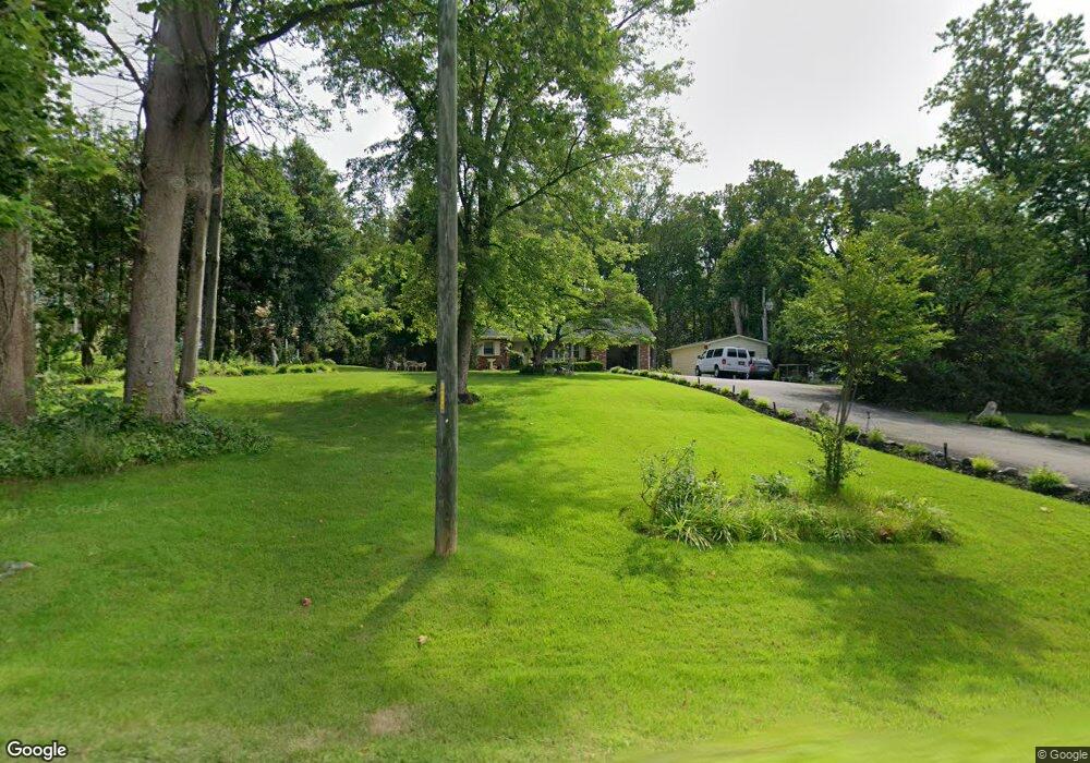
6582 Davis Ford Rd Manassas, VA 20111
Estimated Value: $537,551 - $644,000
3
Beds
2
Baths
1,224
Sq Ft
$474/Sq Ft
Est. Value
About This Home
This home is located at 6582 Davis Ford Rd, Manassas, VA 20111 and is currently estimated at $580,638, approximately $474 per square foot. 6582 Davis Ford Rd is a home located in Prince William County with nearby schools including Signal Hill Elementary School, Parkside Middle School, and Osbourn Park High School.
Ownership History
Date
Name
Owned For
Owner Type
Purchase Details
Closed on
Sep 1, 1994
Sold by
Jenwood R
Bought by
Caldas Miguel A
Current Estimated Value
Home Financials for this Owner
Home Financials are based on the most recent Mortgage that was taken out on this home.
Original Mortgage
$152,000
Interest Rate
8.44%
Create a Home Valuation Report for This Property
The Home Valuation Report is an in-depth analysis detailing your home's value as well as a comparison with similar homes in the area
Home Values in the Area
Average Home Value in this Area
Purchase History
| Date | Buyer | Sale Price | Title Company |
|---|---|---|---|
| Caldas Miguel A | $160,000 | -- |
Source: Public Records
Mortgage History
| Date | Status | Borrower | Loan Amount |
|---|---|---|---|
| Closed | Caldas Miguel A | $152,000 |
Source: Public Records
Tax History
| Year | Tax Paid | Tax Assessment Tax Assessment Total Assessment is a certain percentage of the fair market value that is determined by local assessors to be the total taxable value of land and additions on the property. | Land | Improvement |
|---|---|---|---|---|
| 2025 | -- | $489,700 | $175,300 | $314,400 |
| 2024 | -- | $490,300 | $175,300 | $315,000 |
| 2023 | $4,603 | $442,400 | $175,300 | $267,100 |
| 2022 | $4,934 | $445,500 | $175,300 | $270,200 |
| 2021 | $4,959 | $410,800 | $175,300 | $235,500 |
| 2020 | $6,152 | $396,900 | $175,700 | $221,200 |
| 2019 | $5,589 | $360,600 | $175,700 | $184,900 |
| 2018 | $4,080 | $337,900 | $163,900 | $174,000 |
| 2017 | $4,174 | $336,800 | $160,800 | $176,000 |
| 2016 | $4,157 | $338,700 | $160,800 | $177,900 |
| 2015 | $3,669 | $316,600 | $150,100 | $166,500 |
| 2014 | $3,669 | $291,600 | $137,000 | $154,600 |
Source: Public Records
Map
Nearby Homes
- 15050 Rumson Place
- 6470 Mckee Way
- 6634 Davis Ford Rd
- 6207 Possum Trot Ct
- 10201 Leatherleaf Ct
- 10747 River Run Dr
- 7075 Yates Ford Rd
- 9879 Hemlock Hills Ct
- 10001 Wisakon Trail
- 9808 Evans Ford Rd
- 6047 Greenway Ct
- 6099 River Forest Dr
- 10012 Ellis Rd
- 11049 Newood Dr
- 12215 Henderson Rd
- 11920 Coloriver Rd
- 8117 Hillcrest Dr
- 7809 Signal Hill Rd
- 12170 Ivakota Ct
- 7924 Evans Ford Rd
- 6580 Davis Ford Rd
- 6584 Davis Ford Rd
- 6551 Quail Hollow Dr
- 6549 Quail Hollow Dr
- 6586 Davis Ford Rd
- 6570 Davis Ford Rd
- 15020 Rumson Place
- 6550 Quail Hollow Dr
- 6565 Davis Ford Rd
- 6554 Quail Hollow Dr
- 6547 Quail Hollow Dr
- 6708 River Rd
- 15017 Rumson Place
- 6710 River Rd
- 6543 Quail Hollow Dr
- 6585 Davis Ford Rd
- 6587 Davis Ford Rd
- 6496 Davis Ford Rd
- 6589 Davis Ford Rd
- 6539 Quail Hollow Dr