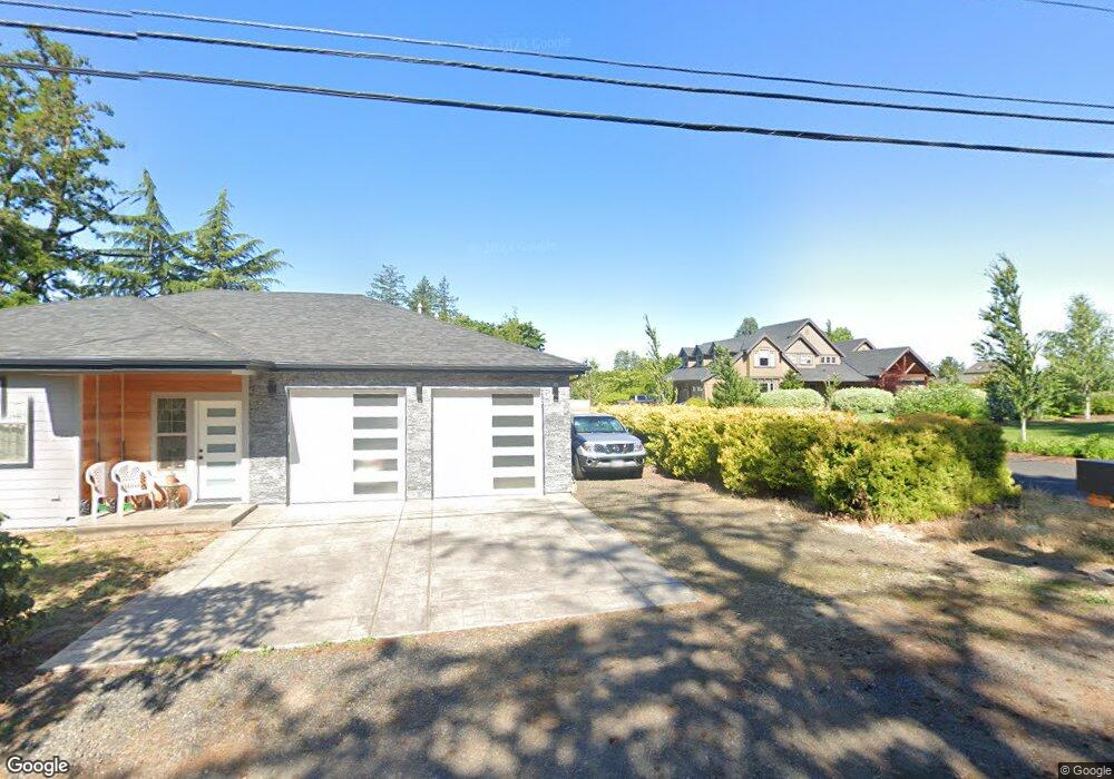
6583 SE 302nd Ave Gresham, OR 97080
Sandy River NeighborhoodEstimated Value: $819,000 - $1,188,131
3
Beds
2
Baths
1,782
Sq Ft
$582/Sq Ft
Est. Value
About This Home
This home is located at 6583 SE 302nd Ave, Gresham, OR 97080 and is currently estimated at $1,037,377, approximately $582 per square foot. 6583 SE 302nd Ave is a home located in Multnomah County with nearby schools including East Orient Elementary School, West Orient Middle School, and Sam Barlow High School.
Ownership History
Date
Name
Owned For
Owner Type
Purchase Details
Closed on
Jul 5, 2013
Sold by
Rutz Terry N
Bought by
Glover Ryan and Glover Jenne
Current Estimated Value
Home Financials for this Owner
Home Financials are based on the most recent Mortgage that was taken out on this home.
Original Mortgage
$180,000
Outstanding Balance
$128,497
Interest Rate
3.57%
Mortgage Type
New Conventional
Estimated Equity
$908,880
Create a Home Valuation Report for This Property
The Home Valuation Report is an in-depth analysis detailing your home's value as well as a comparison with similar homes in the area
Home Values in the Area
Average Home Value in this Area
Purchase History
| Date | Buyer | Sale Price | Title Company |
|---|---|---|---|
| Glover Ryan | $225,000 | Fidelity Natl Title Co Of Or |
Source: Public Records
Mortgage History
| Date | Status | Borrower | Loan Amount |
|---|---|---|---|
| Open | Glover Ryan | $180,000 |
Source: Public Records
Tax History
| Year | Tax Paid | Tax Assessment Tax Assessment Total Assessment is a certain percentage of the fair market value that is determined by local assessors to be the total taxable value of land and additions on the property. | Land | Improvement |
|---|---|---|---|---|
| 2025 | $13,032 | $685,670 | -- | -- |
| 2024 | $11,191 | $598,010 | -- | -- |
| 2023 | $10,946 | $580,600 | $0 | $0 |
| 2022 | $10,667 | $563,690 | $0 | $0 |
| 2021 | $10,379 | $547,280 | $0 | $0 |
| 2020 | $9,768 | $531,340 | $0 | $0 |
| 2019 | $9,521 | $515,870 | $0 | $0 |
| 2018 | $9,076 | $500,850 | $0 | $0 |
| 2017 | $8,721 | $486,270 | $0 | $0 |
| 2016 | $8,164 | $501,090 | $0 | $0 |
Source: Public Records
Map
Nearby Homes
- 30125 SE Chase Rd
- 30945 SE Lusted Rd
- 30148 SE Bluff Rd
- 2766 SE Teal Ave
- 6366 SE 33rd Way
- 31563 SE Lusted Rd
- 6443 SE 22nd St
- 6421 SE 22nd St
- 6055 SE 28th St
- 31616 SE Pipeline Rd
- 32022 SE Dodge Park Blvd
- 7137 SE 322nd Ave
- 6144 SE 16th St
- 6195 SE 16th St
- 6130 SE 16th St
- 6187 SE 16th St
- 6171 SE 16th St
- 6118 SE 16th St
- 6112 SE 16th St
- 6247 SE 15th St
- 6627 SE 302nd Ave
- 6605 SE 302nd Ave
- 6511 SE 302nd Ave
- 6701 SE 302nd Ave
- 6604 SE 302nd Ave
- 6437 SE 302nd Ave
- 6512 SE 302nd Ave
- 6726 SE 302nd Ave
- 6518 SE 302nd Ave
- 6839 SE 302nd Ave
- 6343 SE 302nd Ave
- 6324 SE 302nd Ave
- 30403 SE Jackson Rd
- 6341 SE 302nd Ave
- 6358 SE 302nd Ave
- 6308 SE 302nd Ave
- 30101 SE Roork Rd
- 6914 SE 302nd Ave
- 30439 SE Jackson Rd
- 29933 SE Roork Rd
Your Personal Tour Guide
Ask me questions while you tour the home.