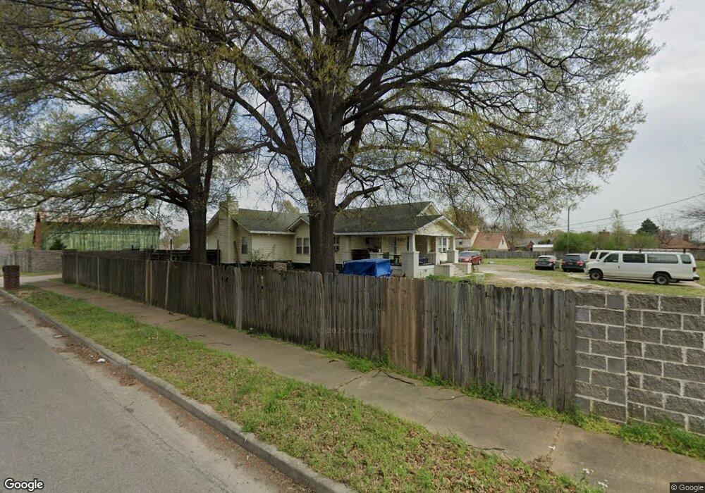
6584 E Shelby Dr Memphis, TN 38141
Hickory Hill NeighborhoodEstimated Value: $182,000 - $286,000
3
Beds
2
Baths
1,932
Sq Ft
$124/Sq Ft
Est. Value
About This Home
This home is located at 6584 E Shelby Dr, Memphis, TN 38141 and is currently estimated at $239,551, approximately $123 per square foot. 6584 E Shelby Dr is a home located in Shelby County with nearby schools including Ross Elementary School, Kirby High School, and Memphis Business Academy Hickory Hill Middle School.
Ownership History
Date
Name
Owned For
Owner Type
Purchase Details
Closed on
Mar 24, 2011
Sold by
Mandujano Israel and Mandujano Maricela
Bought by
The Bank Of New York Mellon and The Bank Of New York
Current Estimated Value
Purchase Details
Closed on
Jan 5, 2007
Sold by
Montgomery Donald E and Montgomery Cecilia A
Bought by
Mandujano Israel
Home Financials for this Owner
Home Financials are based on the most recent Mortgage that was taken out on this home.
Original Mortgage
$130,400
Interest Rate
9.95%
Mortgage Type
New Conventional
Create a Home Valuation Report for This Property
The Home Valuation Report is an in-depth analysis detailing your home's value as well as a comparison with similar homes in the area
Home Values in the Area
Average Home Value in this Area
Purchase History
| Date | Buyer | Sale Price | Title Company |
|---|---|---|---|
| The Bank Of New York Mellon | $58,500 | None Available | |
| Mandujano Israel | $163,000 | None Available |
Source: Public Records
Mortgage History
| Date | Status | Borrower | Loan Amount |
|---|---|---|---|
| Previous Owner | Mandujano Israel | $130,400 |
Source: Public Records
Tax History Compared to Growth
Tax History
| Year | Tax Paid | Tax Assessment Tax Assessment Total Assessment is a certain percentage of the fair market value that is determined by local assessors to be the total taxable value of land and additions on the property. | Land | Improvement |
|---|---|---|---|---|
| 2025 | $1,738 | $64,450 | $11,575 | $52,875 |
| 2024 | $1,738 | $51,275 | $8,625 | $42,650 |
| 2023 | $3,123 | $51,275 | $8,625 | $42,650 |
| 2022 | $3,123 | $51,275 | $8,625 | $42,650 |
| 2021 | $3,160 | $51,275 | $8,625 | $42,650 |
| 2020 | $2,561 | $35,350 | $8,625 | $26,725 |
| 2019 | $2,561 | $35,350 | $8,625 | $26,725 |
| 2018 | $2,561 | $35,350 | $8,625 | $26,725 |
| 2017 | $1,453 | $35,350 | $8,625 | $26,725 |
| 2016 | $1,395 | $31,925 | $0 | $0 |
| 2014 | $1,395 | $31,925 | $0 | $0 |
Source: Public Records
Map
Nearby Homes
- 6623 Quail Covey Dr
- 6493 Summer Creek E
- 4529 Quail Ridge Trail
- 4821 Blue Wing St
- 6543 Stockport Dr
- 6732 Henredon Dr
- 4868 Water Fowl Ln
- 6577 Beaverlodge Dr
- 4585 S Berrypick Ln
- 6788 Burlingame Dr
- 6770 Seven Valley Dr
- 4447 Ross Rd
- 6842 Rockbrook Dr
- 6395 Golden Park Dr
- 6846 Gilford Dr
- 6879 Gilford Dr
- 6376 Stone Park Cove
- 4373 Lloydminster Cove
- 4463 Sandy Park Dr
- 6623 Rocky Park Dr
- 4667 Shaker Cove
- 4661 Shaker Cove
- 4671 Shaker Cove
- 4673 Vescovi Ln
- 4665 Vescovi Ln
- 6594 Naomi Cove
- 4653 Shaker Cove
- 4683 Vescovi Ln
- 4659 Vescovi Ln
- 4651 Vescovi Ln
- 4647 Shaker Cove
- 4640 Vescovi Ln
- 4675 Shaker Cove
- 6588 Naomi Cove
- 6551 E Cabernet Cove
- 6552 E Cabernet Cove
- 4639 Shaker Cove
- 4643 Vescovi Ln
- 4662 Shaker Cove
- 6580 Mallard Nest Cove