6586 Chestnut Rd MacClenny, FL 32063
Estimated Value: $226,000 - $279,000
Studio
2
Baths
1,260
Sq Ft
$207/Sq Ft
Est. Value
About This Home
This home is located at 6586 Chestnut Rd, MacClenny, FL 32063 and is currently estimated at $261,274, approximately $207 per square foot. 6586 Chestnut Rd is a home located in Baker County with nearby schools including Keller Intermediate School, MacClenny Elementary School, and Baker County Middle School.
Ownership History
Date
Name
Owned For
Owner Type
Purchase Details
Closed on
Mar 27, 2024
Sold by
Miller James David
Bought by
James Miller Revocable Trust
Current Estimated Value
Purchase Details
Closed on
Apr 28, 2022
Sold by
Marie Miller Anna
Bought by
Miller James D
Purchase Details
Closed on
Aug 23, 2004
Sold by
The Bank Of New York
Bought by
Miller James D
Purchase Details
Closed on
Jun 28, 2004
Sold by
Ghiz Jack T and Wachovia Bank Na
Bought by
The Bank Of New York and The Certificateholders Of Cwabs Inc Asse
Create a Home Valuation Report for This Property
The Home Valuation Report is an in-depth analysis detailing your home's value as well as a comparison with similar homes in the area
Home Values in the Area
Average Home Value in this Area
Purchase History
| Date | Buyer | Sale Price | Title Company |
|---|---|---|---|
| James Miller Revocable Trust | $100 | None Listed On Document | |
| Miller James D | -- | Treece Thomas D | |
| Miller James D | $70,000 | Landsafe Title Of Fl Inc | |
| The Bank Of New York | -- | -- | |
| The Bank Of New York | -- | -- |
Source: Public Records
Tax History
| Year | Tax Paid | Tax Assessment Tax Assessment Total Assessment is a certain percentage of the fair market value that is determined by local assessors to be the total taxable value of land and additions on the property. | Land | Improvement |
|---|---|---|---|---|
| 2025 | $2,315 | $160,661 | $25,000 | $135,661 |
| 2024 | $906 | $124,353 | -- | -- |
| 2023 | $869 | $120,731 | $0 | $0 |
| 2022 | $1,865 | $115,261 | $0 | $0 |
| 2021 | $1,664 | $104,783 | $19,765 | $85,018 |
| 2020 | $1,575 | $100,039 | $0 | $0 |
| 2019 | $1,431 | $87,492 | $13,860 | $73,632 |
| 2018 | $1,389 | $83,887 | $0 | $0 |
| 2017 | $1,312 | $81,104 | $0 | $0 |
| 2016 | $1,275 | $76,822 | $0 | $0 |
| 2015 | $1,243 | $72,867 | $0 | $0 |
| 2014 | $1,189 | $70,548 | $0 | $0 |
Source: Public Records
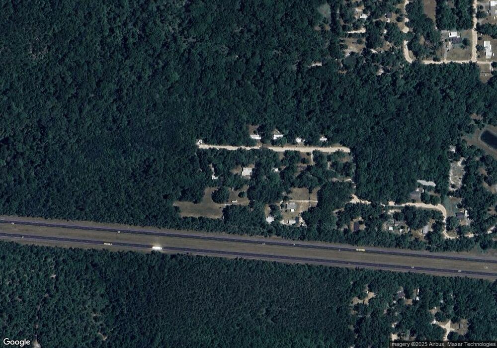
Map
Nearby Homes
- 6300 J & M Ranch Rd
- 9332 Cedar Rd
- 5876 Chestnut Rd
- 8668 Lake George Cir W
- 5794/5806 Woodlawn Cemetary Rd
- 5794 Woodlawn Cemetary Rd
- 8687 Lake George Cir W
- 5577 Myrtle Rd
- 8521 Lake George Cir W
- 6756 E Andrews St
- 9750 S Sherman Ave
- 9737 Clinton Ave
- 10273 Greystone Dr
- BEAUMONT Plan at Greystone
- ROANOKE Plan at Greystone
- ABERNATHY Plan at Greystone
- GARDNER Plan at Greystone
- DUPONT Plan at Greystone
- CABOT Plan at Greystone
- 5661 Irvin St
- BX 267 Chestnut Rd
- 6638 Chestnut Rd
- 6538 Chestnut Rd
- 6567 Chestnut Rd
- 6300 J and M Ranch Rd
- 6300 J and M Ranch Rd
- 6539 Chestnut Rd
- 6485 Chestnut Rd
- 6457 Chestnut Rd
- TBD Chestnut Rd N
- 6410 Chestnut Rd
- 6362 Chestnut Rd
- 6322 Chestnut Rd
- 6295 Chestnut Rd
- 9916 Persimmon Rd
- 8930 Hillcrest Dr
- 6228 Chestnut Rd
- 0000 Chestnut Rd
- 00 Chestnut Rd
- 8931 Hillcrest Dr
Your Personal Tour Guide
Ask me questions while you tour the home.