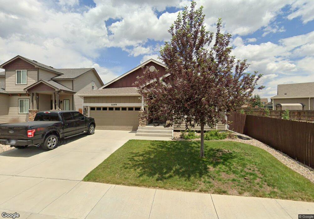
6589 Alliance Loop Colorado Springs, CO 80925
Widefield NeighborhoodEstimated Value: $397,930 - $506,000
3
Beds
2
Baths
1,604
Sq Ft
$271/Sq Ft
Est. Value
About This Home
This home is located at 6589 Alliance Loop, Colorado Springs, CO 80925 and is currently estimated at $434,733, approximately $271 per square foot. 6589 Alliance Loop is a home with nearby schools including Grand Mountain School, Mesa Ridge High School, and Valley Christian Academy.
Ownership History
Date
Name
Owned For
Owner Type
Purchase Details
Closed on
Oct 12, 2012
Sold by
Saint Aubyn Homes Llc
Bought by
Assmann Keith M
Current Estimated Value
Home Financials for this Owner
Home Financials are based on the most recent Mortgage that was taken out on this home.
Original Mortgage
$259,661
Outstanding Balance
$180,145
Interest Rate
3.55%
Mortgage Type
VA
Estimated Equity
$254,588
Purchase Details
Closed on
Aug 2, 2012
Sold by
Lorson Llc
Bought by
Saint Aubyn Homes Llc
Create a Home Valuation Report for This Property
The Home Valuation Report is an in-depth analysis detailing your home's value as well as a comparison with similar homes in the area
Home Values in the Area
Average Home Value in this Area
Purchase History
| Date | Buyer | Sale Price | Title Company |
|---|---|---|---|
| Assmann Keith M | $254,196 | Heritage Title | |
| Saint Aubyn Homes Llc | $53,000 | Heritage Title |
Source: Public Records
Mortgage History
| Date | Status | Borrower | Loan Amount |
|---|---|---|---|
| Open | Assmann Keith M | $259,661 |
Source: Public Records
Tax History Compared to Growth
Tax History
| Year | Tax Paid | Tax Assessment Tax Assessment Total Assessment is a certain percentage of the fair market value that is determined by local assessors to be the total taxable value of land and additions on the property. | Land | Improvement |
|---|---|---|---|---|
| 2025 | $3,823 | $30,400 | -- | -- |
| 2024 | $3,771 | $29,140 | $6,040 | $23,100 |
| 2022 | $3,048 | $22,020 | $4,810 | $17,210 |
| 2021 | $3,175 | $22,660 | $4,950 | $17,710 |
| 2020 | $3,037 | $21,450 | $4,330 | $17,120 |
| 2019 | $3,027 | $21,450 | $4,330 | $17,120 |
| 2018 | $2,630 | $18,350 | $4,360 | $13,990 |
| 2017 | $2,685 | $18,350 | $4,360 | $13,990 |
| 2016 | $2,503 | $19,340 | $4,380 | $14,960 |
| 2015 | $2,637 | $19,340 | $4,380 | $14,960 |
| 2014 | $2,625 | $19,340 | $4,290 | $15,050 |
Source: Public Records
Map
Nearby Homes
- 10202 Abrams Dr
- 6572 Justice Way
- 10208 Abrams Dr
- 10179 Seawolf Dr
- 10250 Intrepid Way
- 10405 Abrams Dr
- 10868 Deer Meadow Cir
- 10394 Abrams Dr
- 10732 Deer Meadow Cir
- 10670 Abrams Dr
- 10634 Abrams Dr
- 6868 Alsea Dr
- 10442 Abrams Dr
- 10568 Kalama Dr
- 10604 Deer Meadow Cir
- 6225 Laurel Grass Range Trail
- 10525 Abrams Dr
- 6562 Phantom Way
- 6672 Kearsarge Dr
- 6961 Maidford Dr
- 6581 Alliance Loop
- 10316 Sentry Post Place
- 6573 Alliance Loop
- 10332 Sentry Post Place
- 10345 Valor Ct
- 6590 Alliance Loop
- 6582 Alliance Loop
- 10361 Valor Ct
- 10348 Sentry Post Place
- 6565 Alliance Loop
- 6598 Alliance Loop
- 6574 Alliance Loop
- 10346 Valor Ct
- 6557 Alliance Loop
- 6566 Alliance Loop
- 10364 Sentry Post Place
- 6605 Alliance Loop
- 10377 Valor Ct
- 6606 Alliance Loop
- 10362 Valor Ct