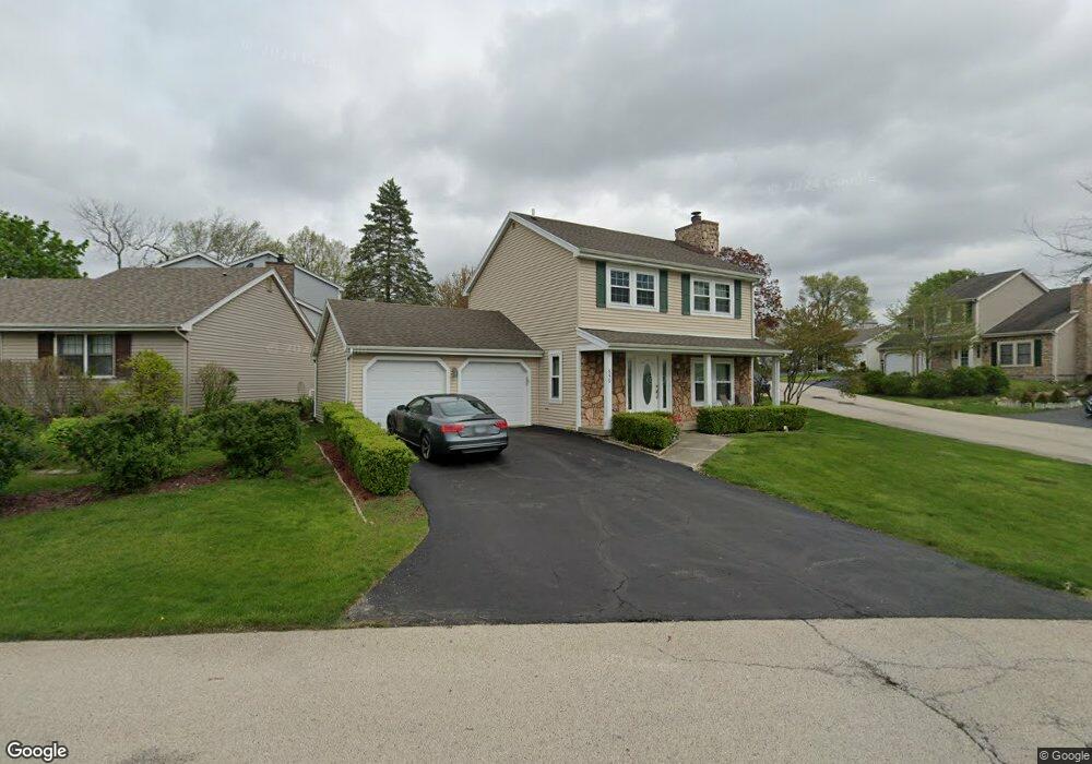
659 Dunham Rd Gurnee, IL 60031
Estimated Value: $332,000 - $346,000
3
Beds
3
Baths
1,456
Sq Ft
$232/Sq Ft
Est. Value
About This Home
This home is located at 659 Dunham Rd, Gurnee, IL 60031 and is currently estimated at $337,464, approximately $231 per square foot. 659 Dunham Rd is a home located in Lake County with nearby schools including Woodland Primary School, Woodland Elementary School, and Woodland Intermediate School.
Ownership History
Date
Name
Owned For
Owner Type
Purchase Details
Closed on
Feb 15, 2012
Sold by
Tcf National Bank
Bought by
Torres Gutierrez Jose Manuel and Castrejon Reyna Sofia
Current Estimated Value
Home Financials for this Owner
Home Financials are based on the most recent Mortgage that was taken out on this home.
Original Mortgage
$143,694
Outstanding Balance
$98,303
Interest Rate
3.86%
Mortgage Type
Seller Take Back
Estimated Equity
$239,161
Purchase Details
Closed on
Jul 25, 2011
Sold by
Mukherjee Debabrata and Case #10 Ch 3823
Bought by
Tcf National Bank
Create a Home Valuation Report for This Property
The Home Valuation Report is an in-depth analysis detailing your home's value as well as a comparison with similar homes in the area
Home Values in the Area
Average Home Value in this Area
Purchase History
| Date | Buyer | Sale Price | Title Company |
|---|---|---|---|
| Torres Gutierrez Jose Manuel | $159,000 | Stewart Title Company | |
| Tcf National Bank | -- | None Available |
Source: Public Records
Mortgage History
| Date | Status | Borrower | Loan Amount |
|---|---|---|---|
| Open | Torres Gutierrez Jose Manuel | $143,694 |
Source: Public Records
Tax History Compared to Growth
Tax History
| Year | Tax Paid | Tax Assessment Tax Assessment Total Assessment is a certain percentage of the fair market value that is determined by local assessors to be the total taxable value of land and additions on the property. | Land | Improvement |
|---|---|---|---|---|
| 2024 | $7,148 | $91,365 | $10,547 | $80,818 |
| 2023 | $6,594 | $80,740 | $9,320 | $71,420 |
| 2022 | $6,594 | $73,651 | $9,532 | $64,119 |
| 2021 | $5,702 | $67,977 | $8,798 | $59,179 |
| 2020 | $5,512 | $66,306 | $8,582 | $57,724 |
| 2019 | $5,351 | $64,381 | $8,333 | $56,048 |
| 2018 | $4,956 | $60,825 | $3,652 | $57,173 |
| 2017 | $4,900 | $59,082 | $3,547 | $55,535 |
| 2016 | $4,849 | $56,451 | $3,389 | $53,062 |
| 2015 | $4,709 | $53,538 | $3,214 | $50,324 |
| 2014 | $5,480 | $48,450 | $3,171 | $45,279 |
| 2012 | $5,735 | $62,175 | $3,195 | $58,980 |
Source: Public Records
Map
Nearby Homes
- 638 Dordan Ct
- 651 White Ct
- 711 Creekside Cir Unit 103
- 600 Creekside Cir Unit 85
- 640 Wilbur Ct
- 741 Colby Ct Unit U42
- 690 Chandler Rd Unit 207
- 690 Chandler Rd Unit 305
- 776 Chandler Rd
- 6121 Brookstone Place
- 917 Vose Dr Unit 304
- 6141 Crossland Blvd
- 920 Vose Dr Unit 304
- 920 Vose Dr Unit 106
- 920 Vose Dr Unit 105
- 914 Vose Dr
- 6161 Oakmont Ln
- 6191 Oakmont Ln
- 6296 Doral Dr
- 6091 Washington St
- 657 Dunham Rd
- 644 Sanders Ct
- 642 Sanders Ct
- 655 Dunham Rd
- 643 Williams Ct
- 640 Sanders Ct
- 649 Sanders Ct
- 647 Williams Ct
- 647 Sanders Ct
- 641 Williams Ct
- 645 Williams Ct
- 638 Sanders Ct
- 645 Sanders Ct
- 639 Williams Ct
- 660 Dunham Rd
- 665 Dunham Rd
- 5752 Regency Ct
- 642 Stewart Ct
- 643 Sanders Ct
- 5746 Regency Ct