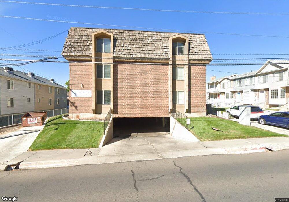
659 N 700 E Unit 3 Provo, UT 84606
Joaquin NeighborhoodEstimated Value: $386,000 - $438,000
2
Beds
2
Baths
1,100
Sq Ft
$367/Sq Ft
Est. Value
About This Home
This home is located at 659 N 700 E Unit 3, Provo, UT 84606 and is currently estimated at $403,916, approximately $367 per square foot. 659 N 700 E Unit 3 is a home located in Utah County with nearby schools including Provo Peaks School, Centennial Middle School, and Timpview High School.
Ownership History
Date
Name
Owned For
Owner Type
Purchase Details
Closed on
Jul 11, 2024
Sold by
Bland Family Trust and Bland Clinton S
Bought by
Dyer Stephen William and Dyer Tami Mei
Current Estimated Value
Purchase Details
Closed on
Sep 30, 2008
Sold by
Brown Alan J
Bought by
Bland Clinton S and Bland Diane E
Home Financials for this Owner
Home Financials are based on the most recent Mortgage that was taken out on this home.
Original Mortgage
$151,556
Interest Rate
5.77%
Mortgage Type
FHA
Purchase Details
Closed on
Mar 23, 2005
Sold by
Asp Thelma N
Bought by
Brown Alan J
Home Financials for this Owner
Home Financials are based on the most recent Mortgage that was taken out on this home.
Original Mortgage
$126,000
Interest Rate
5.53%
Mortgage Type
Stand Alone First
Create a Home Valuation Report for This Property
The Home Valuation Report is an in-depth analysis detailing your home's value as well as a comparison with similar homes in the area
Home Values in the Area
Average Home Value in this Area
Purchase History
| Date | Buyer | Sale Price | Title Company |
|---|---|---|---|
| Dyer Stephen William | -- | Real Advantage Title | |
| Bland Clinton S | -- | First American Spanish Fo | |
| Brown Alan J | -- | First American Title Agency |
Source: Public Records
Mortgage History
| Date | Status | Borrower | Loan Amount |
|---|---|---|---|
| Previous Owner | Bland Clinton S | $151,556 | |
| Previous Owner | Brown Alan J | $126,000 |
Source: Public Records
Tax History
| Year | Tax Paid | Tax Assessment Tax Assessment Total Assessment is a certain percentage of the fair market value that is determined by local assessors to be the total taxable value of land and additions on the property. | Land | Improvement |
|---|---|---|---|---|
| 2025 | $1,877 | $186,615 | -- | -- |
| 2024 | $1,877 | $184,745 | $0 | $0 |
| 2023 | $1,938 | $188,100 | $0 | $0 |
| 2022 | $1,991 | $194,810 | $0 | $0 |
| 2021 | $1,674 | $285,700 | $34,300 | $251,400 |
| 2020 | $3,002 | $264,100 | $31,700 | $232,400 |
| 2019 | $1,436 | $239,000 | $25,000 | $214,000 |
| 2018 | $1,233 | $208,000 | $25,000 | $183,000 |
| 2017 | $1,109 | $102,850 | $0 | $0 |
| 2016 | $1,082 | $93,500 | $0 | $0 |
| 2015 | $916 | $79,970 | $0 | $0 |
| 2014 | $878 | $79,970 | $0 | $0 |
Source: Public Records
Map
Nearby Homes
- 737 E 750 N Unit 1
- 785 E 560 N Unit 405
- 541 E 500 N Unit 12
- 386 N 500 E
- 907 E 820 N Unit 11
- 364 N 500 E
- 362 N 800 E
- 394 N 300 E
- 240 N 500 East St
- 433 N 300 E
- 466 N 200 E
- 864 E 200 N
- 232 E 400 N
- 1051 E 300 N
- 380 N 200 E
- 232 E 300 N
- 136 E 400 N Unit 108
- 136 E 400 N Unit 107
- 246 N 200 E
- 532 N Seven Peaks Blvd Unit 302
Your Personal Tour Guide
Ask me questions while you tour the home.