659 NE State Route A Braymer, MO 64624
Estimated Value: $544,000 - $654,211
--
Bed
1
Bath
3,426
Sq Ft
$175/Sq Ft
Est. Value
About This Home
This home is located at 659 NE State Route A, Braymer, MO 64624 and is currently estimated at $599,106, approximately $174 per square foot. 659 NE State Route A is a home with nearby schools including Braymer Elementary School and Braymer High School.
Create a Home Valuation Report for This Property
The Home Valuation Report is an in-depth analysis detailing your home's value as well as a comparison with similar homes in the area
Home Values in the Area
Average Home Value in this Area
Tax History Compared to Growth
Tax History
| Year | Tax Paid | Tax Assessment Tax Assessment Total Assessment is a certain percentage of the fair market value that is determined by local assessors to be the total taxable value of land and additions on the property. | Land | Improvement |
|---|---|---|---|---|
| 2024 | $2,695 | $44,720 | $4,700 | $40,020 |
| 2023 | $2,695 | $44,720 | $4,700 | $40,020 |
| 2022 | $2,552 | $43,890 | $4,700 | $39,190 |
| 2021 | $2,563 | $43,890 | $4,700 | $39,190 |
| 2020 | $2,470 | $42,670 | $4,700 | $37,970 |
| 2019 | $2,037 | $42,670 | $4,700 | $37,970 |
| 2018 | $1,822 | $40,420 | $4,000 | $36,420 |
| 2017 | $1,822 | $40,420 | $4,000 | $36,420 |
| 2016 | -- | $40,230 | $3,810 | $36,420 |
| 2015 | -- | $40,230 | $3,810 | $36,420 |
| 2013 | -- | $40,490 | $3,670 | $36,820 |
| 2011 | -- | $40,760 | $0 | $0 |
Source: Public Records
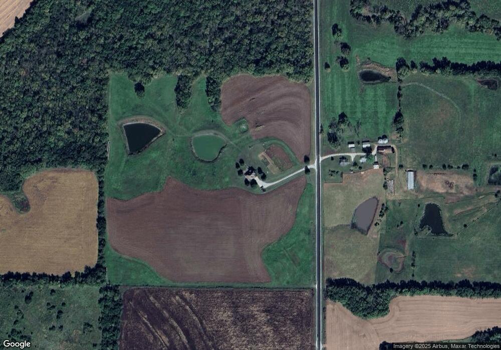
Map
Nearby Homes
- 709 N Wright Ave
- 405 W 7th St
- 506 N Main St
- 509 Harris Ave
- 408 W 5th St
- 207 E 4th St
- 303 N Murrays Ave
- TBD SE Sparks Rd
- 12676 SE Tait Park Dr
- 0000 Sparks Rd
- 0 NE Litton Rd
- 7800 NE State Highway U
- 0000 Grainville Rd
- 0000 SE Granville Rd
- 6313 SE Granville Rd
- 420 S 8th St
- 0 B Hwy Unit HMS2542493
- TBD W Oak St
- 0 NE State Highway B
- 0 F Hwy Unit HMS2579809