659 Poplar Ln Birmingham, AL 35244
Estimated Value: $334,000 - $390,000
5
Beds
3
Baths
3,330
Sq Ft
$110/Sq Ft
Est. Value
About This Home
This home is located at 659 Poplar Ln, Birmingham, AL 35244 and is currently estimated at $365,034, approximately $109 per square foot. 659 Poplar Ln is a home located in Jefferson County with nearby schools including Mcadory Middle School, Mcadory High School, and The Hillsboro School.
Ownership History
Date
Name
Owned For
Owner Type
Purchase Details
Closed on
Nov 10, 2005
Sold by
Snider Alan and Snider Jamie
Bought by
Jones Darryl and Jones Latunya A
Current Estimated Value
Home Financials for this Owner
Home Financials are based on the most recent Mortgage that was taken out on this home.
Original Mortgage
$208,250
Outstanding Balance
$113,126
Interest Rate
5.9%
Mortgage Type
Purchase Money Mortgage
Estimated Equity
$251,908
Create a Home Valuation Report for This Property
The Home Valuation Report is an in-depth analysis detailing your home's value as well as a comparison with similar homes in the area
Home Values in the Area
Average Home Value in this Area
Purchase History
| Date | Buyer | Sale Price | Title Company |
|---|---|---|---|
| Jones Darryl | $208,250 | None Available |
Source: Public Records
Mortgage History
| Date | Status | Borrower | Loan Amount |
|---|---|---|---|
| Open | Jones Darryl | $208,250 |
Source: Public Records
Tax History Compared to Growth
Tax History
| Year | Tax Paid | Tax Assessment Tax Assessment Total Assessment is a certain percentage of the fair market value that is determined by local assessors to be the total taxable value of land and additions on the property. | Land | Improvement |
|---|---|---|---|---|
| 2024 | $974 | $20,500 | -- | -- |
| 2022 | $1,024 | $21,490 | $1,460 | $20,030 |
| 2021 | $845 | $17,910 | $1,460 | $16,450 |
| 2020 | $912 | $14,730 | $1,460 | $13,270 |
| 2019 | $685 | $14,740 | $0 | $0 |
| 2018 | $725 | $15,520 | $0 | $0 |
| 2017 | $725 | $15,520 | $0 | $0 |
| 2016 | $725 | $15,520 | $0 | $0 |
| 2015 | $725 | $15,520 | $0 | $0 |
| 2014 | $869 | $15,260 | $0 | $0 |
| 2013 | $869 | $15,260 | $0 | $0 |
Source: Public Records
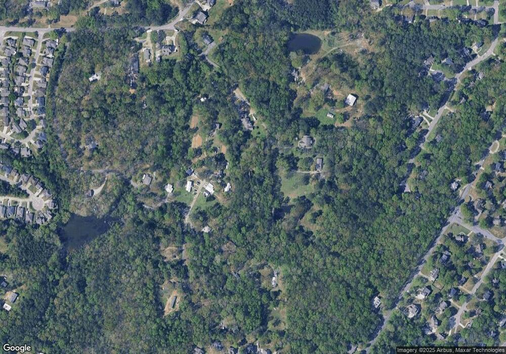
Map
Nearby Homes
- 4019 Adrian St
- 4045 S Shades Crest Rd
- 4100 S Shades Crest Rd
- 2100 Russet Meadows Ln
- 3930 Dodd Rd SE
- 6113 Russet Meadows Cir
- 404 Russet Hollow Rd
- 3965 S Shades Crest Rd
- 3989 Woodhaven Rd
- 600 Crest View Cir
- 127 Top O Tree Ln
- 6200 Shades Pointe Ln
- 1776 Southpointe Dr Unit 35
- 2005 Yancy Dr
- 3318 Morgan Rd
- 1800 Southpointe Dr
- 1860 Russet Hill Cir
- 230 Russet Woods Dr
- 108 Southview Dr
- 137 Southview Dr
- 830 Redbird Rd
- 840 Redbird Rd
- 645 Poplar Ln
- 511 Bluebird Ln
- 800 Redbird Rd
- 517 Bluebird Ln
- 523 Bluebird Ln
- 505 Bluebird Ln
- 700 Poplar Ln
- 694 Poplar Ln
- 695 Poplar Ln
- 537 Poplar Ln
- 501 Bluebird Ln
- 500 Bluebird Ln Unit 12.000
- 499 Bluebird Ln
- 3908 Woodhaven Rd
- 530 Bluebird Ln
- 592 Poplar Ln
- 580 Poplar Ln
- 539 Bluebird Ln