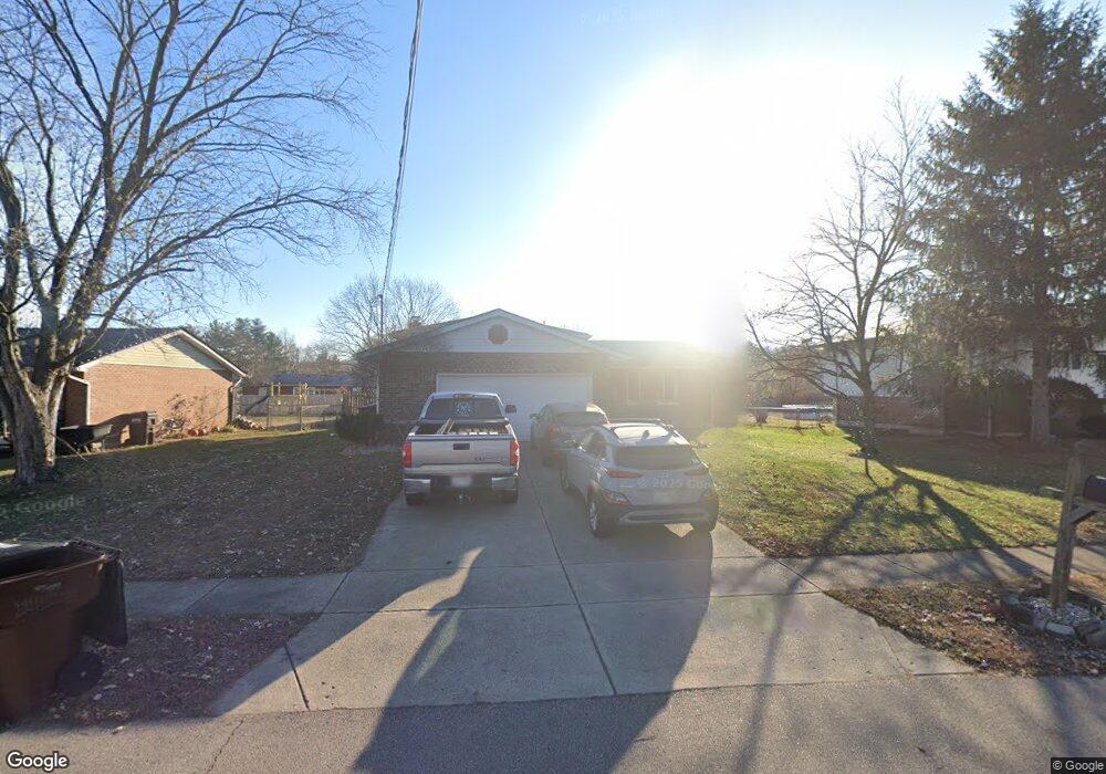
6592 River Rd Fairfield, OH 45014
Estimated Value: $295,461 - $322,000
3
Beds
3
Baths
1,167
Sq Ft
$266/Sq Ft
Est. Value
About This Home
This home is located at 6592 River Rd, Fairfield, OH 45014 and is currently estimated at $310,115, approximately $265 per square foot. 6592 River Rd is a home located in Butler County with nearby schools including Fairfield West Elementary School, Creekside Middle School, and Fairfield Senior High School.
Ownership History
Date
Name
Owned For
Owner Type
Purchase Details
Closed on
Apr 2, 2007
Sold by
Meyer Ann and Meyer Carol
Bought by
Meyer Carol J and Meyer Ann D
Current Estimated Value
Purchase Details
Closed on
May 27, 2005
Sold by
Backscheider Eric D and Backscheider Amy M
Bought by
Meyer Ann and Meyer Carol
Home Financials for this Owner
Home Financials are based on the most recent Mortgage that was taken out on this home.
Original Mortgage
$122,400
Outstanding Balance
$62,868
Interest Rate
5.91%
Mortgage Type
Fannie Mae Freddie Mac
Estimated Equity
$247,247
Purchase Details
Closed on
Feb 18, 1998
Sold by
Lynn Maggard James Harol
Bought by
Backscheider Eric D and Backscheider Amy M
Home Financials for this Owner
Home Financials are based on the most recent Mortgage that was taken out on this home.
Original Mortgage
$112,600
Interest Rate
7.08%
Mortgage Type
FHA
Create a Home Valuation Report for This Property
The Home Valuation Report is an in-depth analysis detailing your home's value as well as a comparison with similar homes in the area
Home Values in the Area
Average Home Value in this Area
Purchase History
| Date | Buyer | Sale Price | Title Company |
|---|---|---|---|
| Meyer Carol J | -- | Attorney | |
| Meyer Ann | $153,000 | American Security Title Comp | |
| Backscheider Eric D | $113,000 | United Title Agency Of Cinci |
Source: Public Records
Mortgage History
| Date | Status | Borrower | Loan Amount |
|---|---|---|---|
| Open | Meyer Ann | $122,400 | |
| Previous Owner | Backscheider Eric D | $112,600 | |
| Closed | Meyer Ann | $15,250 |
Source: Public Records
Tax History
| Year | Tax Paid | Tax Assessment Tax Assessment Total Assessment is a certain percentage of the fair market value that is determined by local assessors to be the total taxable value of land and additions on the property. | Land | Improvement |
|---|---|---|---|---|
| 2025 | $3,366 | $88,250 | $11,370 | $76,880 |
| 2024 | $3,366 | $88,250 | $11,370 | $76,880 |
| 2023 | $3,335 | $84,280 | $11,370 | $72,910 |
| 2022 | $2,988 | $60,680 | $11,370 | $49,310 |
| 2021 | $2,598 | $59,720 | $11,370 | $48,350 |
| 2020 | $2,701 | $59,720 | $11,370 | $48,350 |
| 2019 | $4,111 | $47,610 | $11,100 | $36,510 |
| 2018 | $2,451 | $47,610 | $11,100 | $36,510 |
| 2017 | $2,474 | $47,610 | $11,100 | $36,510 |
| 2016 | $2,406 | $45,200 | $11,100 | $34,100 |
| 2015 | $2,262 | $45,200 | $11,100 | $34,100 |
| 2014 | $2,290 | $45,200 | $11,100 | $34,100 |
| 2013 | $2,290 | $46,070 | $11,100 | $34,970 |
Source: Public Records
Map
Nearby Homes
- 5720 Lake Circle Dr
- 30 Trappist Walk
- 340 River Valley Dt
- 6077 Gray Rd
- 5209 Concord Mill Place
- 5360 Burgundy Place
- 5276 Chateau Way
- 5794 River Rd
- 5665 River Rd
- 6271 River Rd
- 12190 Kilbride Dr
- 1334 Carlin Ct
- 5154 Lamonte Dr
- 1368 Evalie Dr
- 1301 Parkway Ct
- 5180 Suwannee Dr
- 5463 Mississippi Dr
- 5826 High Point Ct
- 5263 Tallawanda Dr
- 11961 Stonequarry Ct
Your Personal Tour Guide
Ask me questions while you tour the home.