Estimated Value: $541,152 - $665,000
5
Beds
4
Baths
3,079
Sq Ft
$195/Sq Ft
Est. Value
About This Home
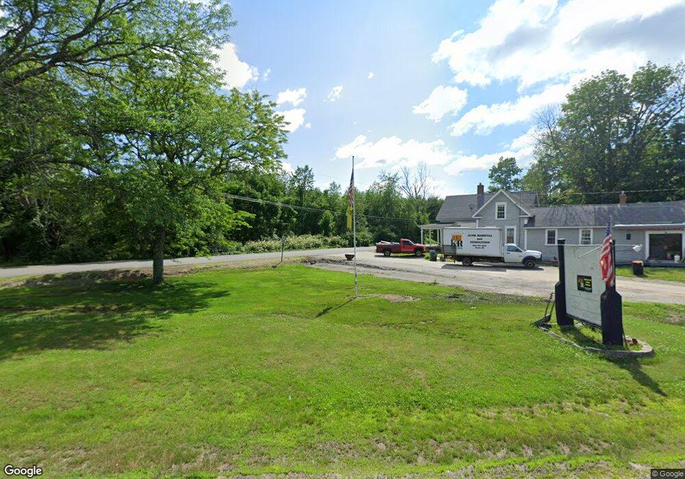
This home is located at 65A N Stark Hwy, Weare, NH 03281 and is currently estimated at $599,288, approximately $194 per square foot. 65A N Stark Hwy is a home with nearby schools including Center Woods Elementary School, Weare Middle School, and John Stark Regional High School.
Ownership History
Date
Name
Owned For
Owner Type
Purchase Details
Closed on
Dec 27, 2019
Sold by
Saint Marys Bank
Bought by
Marico Llc
Current Estimated Value
Home Financials for this Owner
Home Financials are based on the most recent Mortgage that was taken out on this home.
Original Mortgage
$130,000
Outstanding Balance
$114,860
Interest Rate
3.6%
Mortgage Type
New Conventional
Estimated Equity
$484,428
Purchase Details
Closed on
Sep 29, 2009
Sold by
Moody John J
Bought by
Wood Scott M and Wood Jamie L
Purchase Details
Closed on
Jun 8, 2009
Sold by
Fnma
Bought by
Moody John J
Purchase Details
Closed on
Sep 3, 2008
Sold by
Lapointe Stephen P and Fnma
Bought by
Federal National Mortgage Association
Purchase Details
Closed on
Jul 1, 2005
Sold by
Owl Creek Inc
Bought by
La Pointe Stephen P and La Pointe Marilyn D
Create a Home Valuation Report for This Property
The Home Valuation Report is an in-depth analysis detailing your home's value as well as a comparison with similar homes in the area
Home Values in the Area
Average Home Value in this Area
Purchase History
| Date | Buyer | Sale Price | Title Company |
|---|---|---|---|
| Marico Llc | $160,000 | None Available | |
| Wood Scott M | $170,000 | -- | |
| Moody John J | $156,500 | -- | |
| Federal National Mortgage Association | $311,600 | -- | |
| La Pointe Stephen P | $355,000 | -- |
Source: Public Records
Mortgage History
| Date | Status | Borrower | Loan Amount |
|---|---|---|---|
| Open | Marico Llc | $130,000 | |
| Previous Owner | La Pointe Stephen P | $10,300 | |
| Previous Owner | La Pointe Stephen P | $200,000 | |
| Previous Owner | La Pointe Stephen P | $15,300 |
Source: Public Records
Tax History Compared to Growth
Tax History
| Year | Tax Paid | Tax Assessment Tax Assessment Total Assessment is a certain percentage of the fair market value that is determined by local assessors to be the total taxable value of land and additions on the property. | Land | Improvement |
|---|---|---|---|---|
| 2024 | $7,744 | $379,800 | $108,100 | $271,700 |
| 2023 | $7,223 | $383,400 | $108,100 | $275,300 |
| 2022 | $6,671 | $383,400 | $108,100 | $275,300 |
| 2021 | $6,594 | $383,400 | $108,100 | $275,300 |
| 2020 | $6,419 | $268,000 | $81,100 | $186,900 |
| 2019 | $6,338 | $267,300 | $81,100 | $186,200 |
| 2018 | $6,156 | $267,300 | $81,100 | $186,200 |
| 2016 | $5,980 | $267,300 | $81,100 | $186,200 |
| 2015 | $5,345 | $238,500 | $67,300 | $171,200 |
| 2014 | -- | $238,500 | $67,300 | $171,200 |
| 2013 | $4,976 | $228,800 | $67,300 | $161,500 |
Source: Public Records
Map
Nearby Homes
- 233 N Stark Hwy
- 92 Woodbury Rd
- 10 Sap House Rd
- 281 Hodgdon Rd
- 30 Dels Way
- 101-125 Winslow Rd
- 194 Buckley Rd Unit 2
- 194 Buckley Rd Unit 44
- 108 E Shore Dr
- 0 Huntington Hill Rd Unit 69
- 107 Branch Rd
- 62 Collins Landing Rd Unit 46
- 849 River Rd
- 0 Als Dr Unit 196
- 196 Deering Center Rd
- 57 Lyndsey Ln
- 624 S Stark Hwy
- Lot 13 E Deering Rd
- 463 Craney Hill Rd
- 103 Renshaw Rd
- 65 N Stark Hwy
- 18 Quaker St
- 66,68,64A&B N Stark Hwy
- 00 Quaker St
- 57 N Stark Hwy
- 17 Quaker St
- 56 N Stark Hwy
- 66 N Stark Hwy
- 85 N Stark Hwy
- 44 N Stark Hwy
- 37 Quaker St
- 37 N Stark Hwy
- 33 & 37 N Stark Hwy
- 33 N Stark Hwy
- 94 N Stark Hwy
- 36 N Stark Hwy
- 38 N Stark Hwy
- 44 Quaker St
- 49 Quaker St
- 28 N Stark Hwy