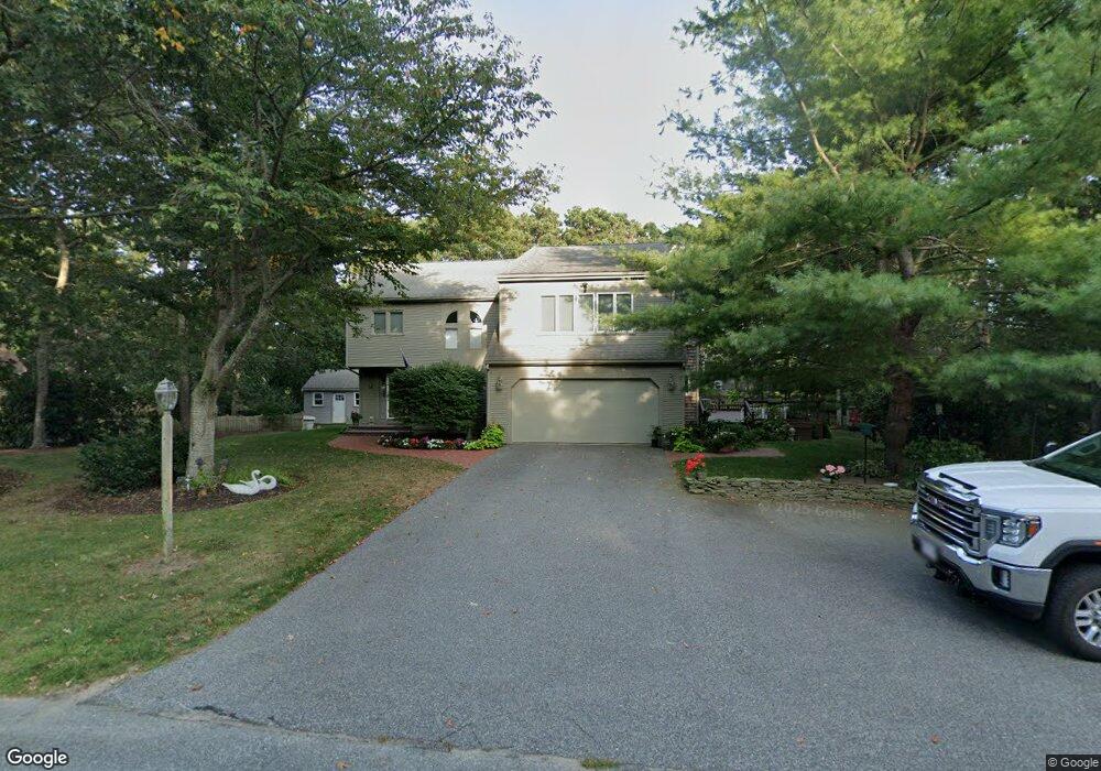
66 Brant Way Hyannis, MA 02601
Estimated Value: $789,000 - $875,000
3
Beds
4
Baths
1,801
Sq Ft
$457/Sq Ft
Est. Value
About This Home
This home is located at 66 Brant Way, Hyannis, MA 02601 and is currently estimated at $822,358, approximately $456 per square foot. 66 Brant Way is a home located in Barnstable County with nearby schools including Barnstable United Elementary School, West Barnstable Elementary School, and Barnstable Intermediate School.
Ownership History
Date
Name
Owned For
Owner Type
Purchase Details
Closed on
Mar 8, 2010
Sold by
Graham Gary C
Bought by
Graham Laura Anne
Current Estimated Value
Purchase Details
Closed on
Aug 17, 2001
Sold by
Tate Albert M and Marriott Nancy G
Bought by
Graham Gary C
Home Financials for this Owner
Home Financials are based on the most recent Mortgage that was taken out on this home.
Original Mortgage
$120,000
Interest Rate
7.16%
Mortgage Type
Purchase Money Mortgage
Create a Home Valuation Report for This Property
The Home Valuation Report is an in-depth analysis detailing your home's value as well as a comparison with similar homes in the area
Home Values in the Area
Average Home Value in this Area
Purchase History
| Date | Buyer | Sale Price | Title Company |
|---|---|---|---|
| Graham Laura Anne | -- | -- | |
| Graham Gary C | $270,000 | -- |
Source: Public Records
Mortgage History
| Date | Status | Borrower | Loan Amount |
|---|---|---|---|
| Previous Owner | Graham Gary C | $120,500 | |
| Previous Owner | Graham Gary C | $120,000 | |
| Previous Owner | Graham Gary C | $148,000 | |
| Previous Owner | Graham Gary C | $166,500 |
Source: Public Records
Tax History Compared to Growth
Tax History
| Year | Tax Paid | Tax Assessment Tax Assessment Total Assessment is a certain percentage of the fair market value that is determined by local assessors to be the total taxable value of land and additions on the property. | Land | Improvement |
|---|---|---|---|---|
| 2025 | $7,267 | $783,900 | $152,200 | $631,700 |
| 2024 | $7,212 | $796,900 | $152,200 | $644,700 |
| 2023 | $6,200 | $647,900 | $138,400 | $509,500 |
| 2022 | $6,632 | $573,200 | $102,500 | $470,700 |
| 2021 | $6,110 | $513,000 | $102,500 | $410,500 |
| 2020 | $5,905 | $478,900 | $102,500 | $376,400 |
| 2019 | $5,290 | $420,500 | $102,500 | $318,000 |
| 2018 | $5,285 | $429,700 | $107,900 | $321,800 |
| 2017 | $5,007 | $417,600 | $107,900 | $309,700 |
| 2016 | $4,908 | $418,400 | $108,700 | $309,700 |
| 2015 | $4,759 | $411,300 | $105,400 | $305,900 |
Source: Public Records
Map
Nearby Homes
- 73 Brant Way
- 28 Vandermint Ln
- 15 Square Rigger Ln
- 270 Old Strawberry Hill Rd
- 4 Square Rigger Ln
- 545 Lincoln Road Extension
- 21 Brian Ln
- 2 Longview Dr
- 82 Nobadeer Rd
- 298 Oakland Rd
- 296 Lincoln Rd
- 69 Schooner Ln
- 720 Pitchers Way Unit 52
- 49 Lakeside Dr E
- 800 Bearse's Unit 1WD
- 7 Delta St
- 800 Bearses Way Unit 4EE
- 800 Bearses Way Unit 1WD
- 58 Loomis Ln
- 1029 Iyannough Rd Unit 9B
- 78 Brant Way
- 50 Brant Way
- 181 Whitehall Way
- 61 Brant Way
- 159 Whitehall Way
- 169 Whitehall Way
- 191 Whitehall Way
- 49 Brant Way
- 85 Brant Way
- 38 Brant Way
- 398 Old Strawberry
- 398 Old Strawberry Hill Rd
- 386 Old Strawberry Hill Rd
- 143 Whitehall Way
- 412 Old Strawberry Hill Rd
- 98 Brant Way
- 35 Brant Way
- 170 Whitehall Way
- 199 Whitehall Way
- 97 Brant Way