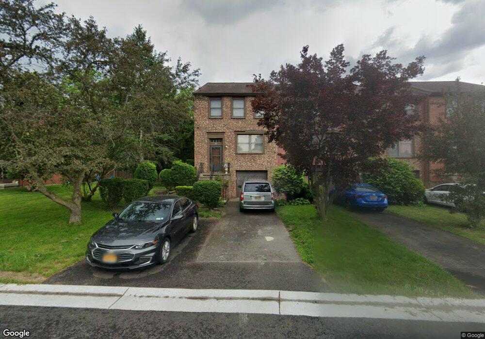
66 Broxbourne Dr Fairport, NY 14450
Estimated Value: $242,000 - $255,000
3
Beds
3
Baths
1,320
Sq Ft
$187/Sq Ft
Est. Value
About This Home
This home is located at 66 Broxbourne Dr, Fairport, NY 14450 and is currently estimated at $247,330, approximately $187 per square foot. 66 Broxbourne Dr is a home located in Monroe County with nearby schools including Dudley School, Northside School, and Johanna Perrin Middle School.
Ownership History
Date
Name
Owned For
Owner Type
Purchase Details
Closed on
Aug 18, 2017
Sold by
Maia Nicolette
Bought by
Lee Peggy Harvey
Current Estimated Value
Home Financials for this Owner
Home Financials are based on the most recent Mortgage that was taken out on this home.
Original Mortgage
$117,826
Outstanding Balance
$99,384
Interest Rate
4.37%
Mortgage Type
FHA
Estimated Equity
$147,946
Purchase Details
Closed on
Aug 24, 2007
Sold by
United Guaranty Residenti
Bought by
Smith Nicolette
Home Financials for this Owner
Home Financials are based on the most recent Mortgage that was taken out on this home.
Original Mortgage
$113,223
Interest Rate
6.74%
Mortgage Type
FHA
Purchase Details
Closed on
Jan 30, 2007
Sold by
Ketchen Susan
Bought by
Federal Home Loan Mortgage Corporation
Purchase Details
Closed on
Jul 20, 1999
Sold by
Lindeberg Carl John
Bought by
Blakley Richard B
Create a Home Valuation Report for This Property
The Home Valuation Report is an in-depth analysis detailing your home's value as well as a comparison with similar homes in the area
Home Values in the Area
Average Home Value in this Area
Purchase History
| Date | Buyer | Sale Price | Title Company |
|---|---|---|---|
| Lee Peggy Harvey | $120,000 | -- | |
| Smith Nicolette | $115,000 | Ellis Oster | |
| United Guaranty Residenti Insurance Company | -- | Bernard Cohen | |
| Federal Home Loan Mortgage Corporation | $98,100 | Steven J Baum | |
| Blakley Richard B | $85,000 | John A Polimeni |
Source: Public Records
Mortgage History
| Date | Status | Borrower | Loan Amount |
|---|---|---|---|
| Open | Lee Peggy Harvey | $117,826 | |
| Previous Owner | United Guaranty Residenti Insurance Company | $113,223 |
Source: Public Records
Tax History Compared to Growth
Tax History
| Year | Tax Paid | Tax Assessment Tax Assessment Total Assessment is a certain percentage of the fair market value that is determined by local assessors to be the total taxable value of land and additions on the property. | Land | Improvement |
|---|---|---|---|---|
| 2024 | $4,847 | $119,900 | $29,600 | $90,300 |
| 2023 | $4,664 | $119,900 | $29,600 | $90,300 |
| 2022 | $4,566 | $119,900 | $29,600 | $90,300 |
| 2021 | $4,601 | $119,900 | $29,600 | $90,300 |
| 2020 | $4,474 | $119,900 | $29,600 | $90,300 |
| 2019 | $4,160 | $119,900 | $28,500 | $91,400 |
| 2018 | $4,338 | $119,900 | $28,500 | $91,400 |
| 2017 | $2,644 | $111,000 | $28,500 | $82,500 |
| 2016 | $4,160 | $111,000 | $28,500 | $82,500 |
| 2015 | -- | $111,000 | $28,500 | $82,500 |
| 2014 | -- | $111,000 | $28,500 | $82,500 |
Source: Public Records
Map
Nearby Homes
- 4 Arbor Ct
- 43 Hollingham Rise
- 31 Belinda Crescent
- 2 Foxpointe Cir
- 1331 Whitney Rd E
- 76 - 78 Summit St
- 15 Whitney Farms Cir
- 70 High St
- 603 Watson Rd
- 158 N Main St
- 28 Winchester Dr
- 14 Peppermill Dr
- 105 Packetts Glen
- 3 Packetts Glen
- 12 Deland Park A
- 2 Hamilton Rd
- 6 Noahs Bluff
- 8 Noahs Bluff
- 4 Noahs Bluff
- 5 Noahs Bluff
- 68 Broxbourne Dr
- 64 Broxbourne Dr
- 70 Broxbourne Dr
- 62 Broxbourne Dr
- 72 Broxbourne Dr
- 60 Broxbourne Dr
- 58 Broxbourne Dr
- 76 Broxbourne Dr
- 56 Broxbourne Dr
- 78 Broxbourne Dr
- 54 Broxbourne Dr
- 80 Broxbourne Dr
- 71 Broxbourne Dr
- 27 Garrison Dr
- 82 Broxbourne Dr
- 73 Broxbourne Dr
- 75 Broxbourne Dr
- 84 Broxbourne Dr
- 77 Broxbourne Dr
- 52 Broxbourne Dr