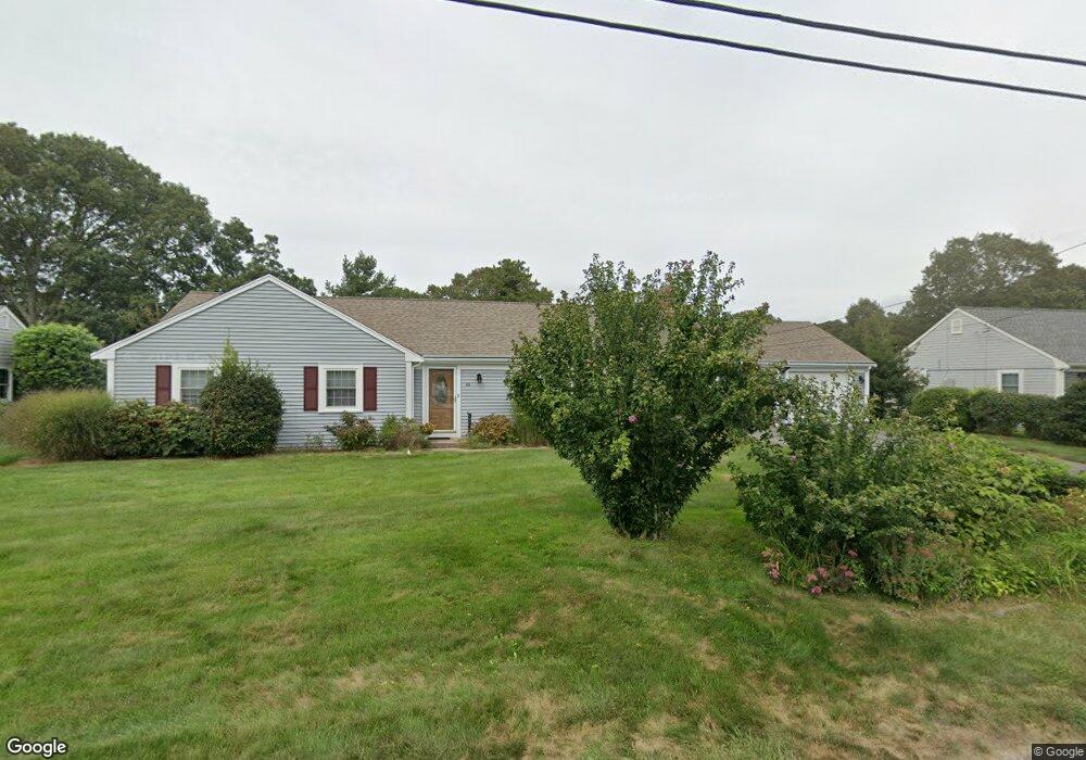
66 Captain Lothrop Rd South Yarmouth, MA 02664
Estimated Value: $656,796 - $723,000
3
Beds
2
Baths
1,800
Sq Ft
$387/Sq Ft
Est. Value
About This Home
This home is located at 66 Captain Lothrop Rd, South Yarmouth, MA 02664 and is currently estimated at $696,199, approximately $386 per square foot. 66 Captain Lothrop Rd is a home located in Barnstable County with nearby schools including Dennis-Yarmouth Regional High School and St. Pius X. School.
Ownership History
Date
Name
Owned For
Owner Type
Purchase Details
Closed on
Apr 5, 2021
Sold by
Juda Francis S and Juda Ann M
Bought by
Weber Karen and Juda David
Current Estimated Value
Purchase Details
Closed on
Feb 10, 2006
Sold by
Ejm Rt and Digregorio Edward J
Bought by
Juda Ann M and Juda Francis S
Home Financials for this Owner
Home Financials are based on the most recent Mortgage that was taken out on this home.
Original Mortgage
$270,000
Interest Rate
6.27%
Mortgage Type
Purchase Money Mortgage
Purchase Details
Closed on
Jan 22, 2004
Sold by
Rocco Deloi T and Engelman Lawrence H
Bought by
Ejm Rt and Digregorio Edward J
Purchase Details
Closed on
Dec 23, 1996
Sold by
Est Carlson Eleanor J and Carlson Wesley D
Bought by
Engelman Lawrence H
Create a Home Valuation Report for This Property
The Home Valuation Report is an in-depth analysis detailing your home's value as well as a comparison with similar homes in the area
Home Values in the Area
Average Home Value in this Area
Purchase History
| Date | Buyer | Sale Price | Title Company |
|---|---|---|---|
| Weber Karen | -- | None Available | |
| Juda Ann M | $435,500 | -- | |
| Ejm Rt | $365,000 | -- | |
| Engelman Lawrence H | $165,000 | -- |
Source: Public Records
Mortgage History
| Date | Status | Borrower | Loan Amount |
|---|---|---|---|
| Previous Owner | Juda Ann M | $270,000 |
Source: Public Records
Tax History Compared to Growth
Tax History
| Year | Tax Paid | Tax Assessment Tax Assessment Total Assessment is a certain percentage of the fair market value that is determined by local assessors to be the total taxable value of land and additions on the property. | Land | Improvement |
|---|---|---|---|---|
| 2025 | $4,265 | $602,400 | $178,500 | $423,900 |
| 2024 | $3,988 | $540,400 | $151,000 | $389,400 |
| 2023 | $3,863 | $476,300 | $130,700 | $345,600 |
| 2022 | $3,950 | $430,300 | $118,800 | $311,500 |
| 2021 | $3,658 | $382,600 | $118,800 | $263,800 |
| 2020 | $3,540 | $354,000 | $118,800 | $235,200 |
| 2019 | $3,228 | $319,600 | $118,800 | $200,800 |
| 2018 | $3,108 | $302,000 | $101,200 | $200,800 |
| 2017 | $2,982 | $297,600 | $96,800 | $200,800 |
| 2016 | $2,882 | $288,800 | $88,000 | $200,800 |
| 2015 | $2,749 | $273,800 | $88,000 | $185,800 |
Source: Public Records
Map
Nearby Homes
- 76 Captain Chase Rd
- 75 Captain York Rd
- 147 Captain Bacon Rd
- 338 Forest Rd
- 72 Quartermaster Row
- 33 Sparrow Way
- 255 Long Pond Dr
- 30 Quartermaster Row
- 38 Autumn Dr
- 55 Lower Brook Rd
- 0 Forsyth Ave
- 105 Webbers Path
- 24 Fast Brook Rd
- 9 Victory Ln
- 3 Saturn Ln
- 17 Trowbridge Path
- 17 Merganser Ln
- 4 Raymond Ave
- 26 Grouse Ln
- 70 Captain Lothrop Rd
- 60 Captain Lothrop Rd
- 60 Capt Lothrop Rd
- 25 Captain Besse Rd
- 19 Capt Besse Rd
- 19 Captain Besse Rd
- 3 Captain Daniel Rd
- 2 Captain Daniel Rd
- 76 Captain Lothrop Rd
- 56 Capt Lothrop Rd
- 2 Captain Percival Rd
- 15 Captain Besse Rd
- 35 Captain Besse Rd
- 9 Captain Daniel Rd
- 24 Capt Besse Rd
- 24 Captain Besse Rd
- 53 Capt Lothrop Rd
- 18 Capt Besse Rd
- 15 Capt Besse Rd
- 53 Captain Lothrop Rd