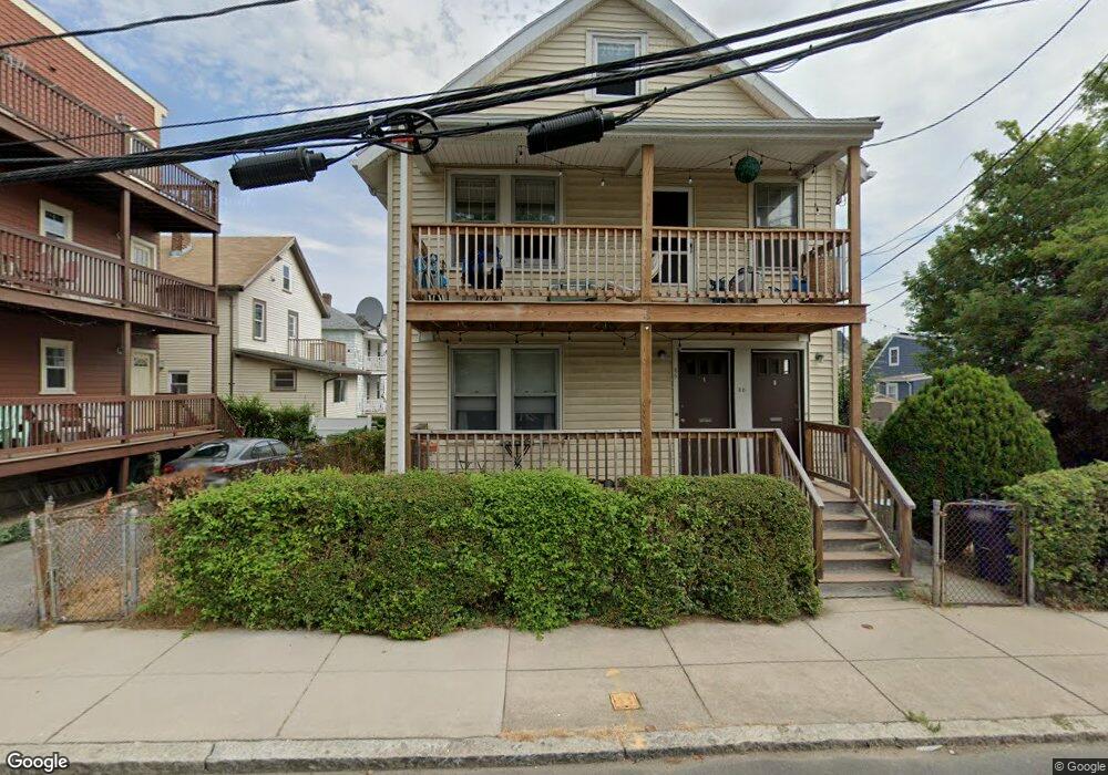
66 Cushman Rd Unit 68 Brighton, MA 02135
Brighton NeighborhoodEstimated Value: $1,035,000 - $1,075,000
4
Beds
2
Baths
1,950
Sq Ft
$545/Sq Ft
Est. Value
About This Home
This home is located at 66 Cushman Rd Unit 68, Brighton, MA 02135 and is currently estimated at $1,062,965, approximately $545 per square foot. 66 Cushman Rd Unit 68 is a home located in Suffolk County with nearby schools including Boston Green Academy Horace Mann Charter School, St Columbkille Partnership School, and Shaloh House Jewish Day School.
Ownership History
Date
Name
Owned For
Owner Type
Purchase Details
Closed on
Feb 17, 2011
Sold by
Walsh Martin P and Walsh Martin P
Bought by
Walsh Martin P
Current Estimated Value
Create a Home Valuation Report for This Property
The Home Valuation Report is an in-depth analysis detailing your home's value as well as a comparison with similar homes in the area
Home Values in the Area
Average Home Value in this Area
Purchase History
| Date | Buyer | Sale Price | Title Company |
|---|---|---|---|
| Walsh Martin P | $352,500 | -- | |
| Walsh Martin P | $75,000 | -- | |
| Walsh Martin P | $352,500 | -- |
Source: Public Records
Tax History Compared to Growth
Tax History
| Year | Tax Paid | Tax Assessment Tax Assessment Total Assessment is a certain percentage of the fair market value that is determined by local assessors to be the total taxable value of land and additions on the property. | Land | Improvement |
|---|---|---|---|---|
| 2025 | $9,468 | $817,600 | $255,300 | $562,300 |
| 2024 | $8,414 | $771,900 | $243,300 | $528,600 |
| 2023 | $8,290 | $771,900 | $243,300 | $528,600 |
| 2022 | $7,846 | $721,100 | $227,300 | $493,800 |
| 2021 | $7,328 | $686,800 | $216,500 | $470,300 |
| 2020 | $6,691 | $633,600 | $190,400 | $443,200 |
| 2019 | $6,360 | $603,400 | $149,700 | $453,700 |
| 2018 | $5,854 | $558,600 | $149,700 | $408,900 |
| 2017 | $5,800 | $547,700 | $149,700 | $398,000 |
| 2016 | $5,477 | $497,900 | $149,700 | $348,200 |
| 2015 | $5,557 | $458,900 | $144,800 | $314,100 |
| 2014 | $5,018 | $398,900 | $144,800 | $254,100 |
Source: Public Records
Map
Nearby Homes
- 58 Dustin St Unit 1
- 84-86 Etna St
- 18 Glencoe St Unit 42
- 87 Etna St
- 35 Glencoe St Unit 43
- 610 Cambridge St
- 581 Cambridge St
- 212 Market St Unit 201
- 200-202 Market St
- 11 Faneuil St
- 533 Cambridge St Unit 105
- 100 Lincoln St Unit 302
- 100 Lincoln St Unit 507
- 100 Lincoln St Unit 306
- 100 Lincoln St Unit 201
- 100 Lincoln St Unit 303
- 70 Leo Birmingham Pkwy Unit 307
- 15 N Beacon St Unit 328
- 15 N Beacon St Unit 412
- 15 N Beacon St Unit L01
- 68 Cushman Rd Unit 1
- 66-68 Cushman Rd
- 113 Murdock St
- 113 Murdock St Unit 2
- 113 Murdock St Unit 1
- 113 Murdock St Unit 3
- 115 Murdock St Unit 117
- 115 Murdock St Unit 1
- 115 Murdock St
- 105 Saybrook St
- 105 Saybrook St Unit 1
- 103 Saybrook St Unit 105
- 88 Dustin St Unit 90
- 121 Murdock St Unit 2
- 121 Murdock St Unit 1
- 121 Murdock St
- 119 Murdock St Unit 121
- 94 Dustin St
- 94 Dustin St
- 94 Dustin St Unit 2