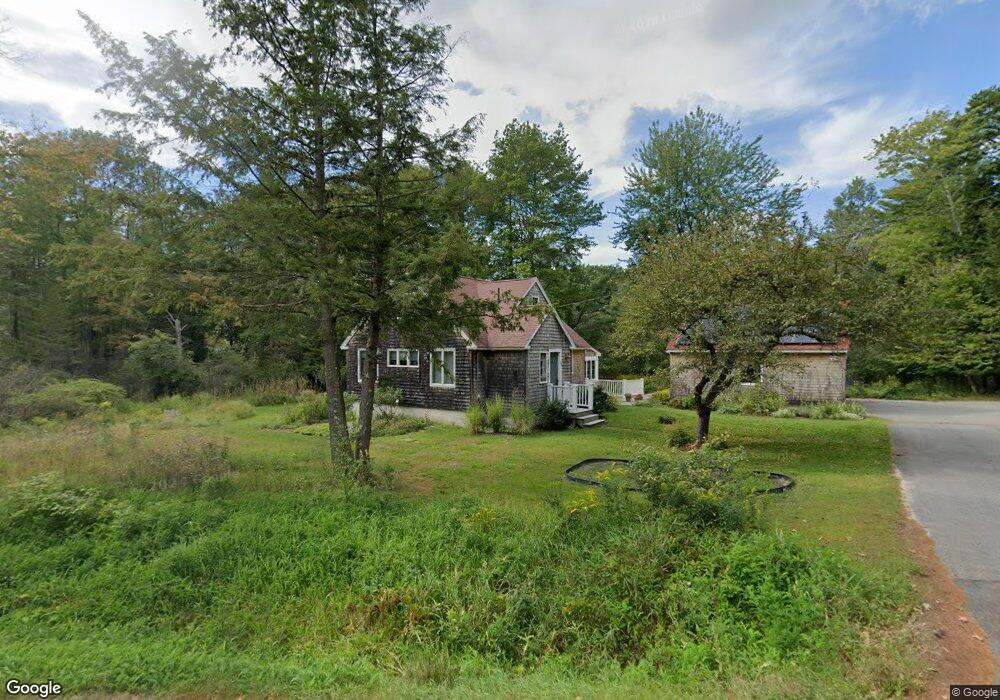
66 Day Rd Gorham, ME 04038
Estimated Value: $478,000 - $551,000
2
Beds
2
Baths
1,445
Sq Ft
$362/Sq Ft
Est. Value
About This Home
This home is located at 66 Day Rd, Gorham, ME 04038 and is currently estimated at $522,660, approximately $361 per square foot. 66 Day Rd is a home located in Cumberland County with nearby schools including Village Elementary School, Gorham Middle School, and Gorham High School.
Create a Home Valuation Report for This Property
The Home Valuation Report is an in-depth analysis detailing your home's value as well as a comparison with similar homes in the area
Home Values in the Area
Average Home Value in this Area
Tax History
| Year | Tax Paid | Tax Assessment Tax Assessment Total Assessment is a certain percentage of the fair market value that is determined by local assessors to be the total taxable value of land and additions on the property. | Land | Improvement |
|---|---|---|---|---|
| 2024 | $5,933 | $403,600 | $108,800 | $294,800 |
| 2023 | $5,550 | $403,600 | $108,800 | $294,800 |
| 2022 | $5,186 | $403,600 | $108,800 | $294,800 |
| 2021 | $3,996 | $206,000 | $71,500 | $134,500 |
| 2020 | $3,914 | $206,000 | $71,500 | $134,500 |
| 2019 | $3,640 | $192,100 | $71,500 | $120,600 |
| 2018 | $3,496 | $192,100 | $71,500 | $120,600 |
| 2017 | $3,285 | $192,100 | $71,500 | $120,600 |
| 2016 | $3,264 | $192,000 | $71,400 | $120,600 |
| 2015 | $3,130 | $192,000 | $71,400 | $120,600 |
| 2014 | $2,902 | $166,800 | $63,100 | $103,700 |
| 2013 | $2,886 | $166,800 | $63,100 | $103,700 |
Source: Public Records
Map
Nearby Homes
- Lot 3A Day Rd
- 93 Day Rd
- 24 Day Rd
- 282 South St
- 17 Lochwood Dr
- Unit 13 Fairway Commons Dr Unit 13
- 13 Lochwood Dr
- 25 Fairway Commons Dr Unit 7
- 30 Fairway Commons Dr Unit 10
- 20 Fairway Commons Dr Unit 2
- TBD Lochwood Dr
- 49 Lochwood Dr
- 25 Patio Park Ln
- 91 South St
- 11 Dragonfly Ln
- 52 Morrill Ave
- 50 Johnson Rd
- 52 Hogan Cir Unit 1
- 22 Gateway Commons Dr
- 204 Wickham Way Unit Lot 204
Your Personal Tour Guide
Ask me questions while you tour the home.