Estimated Value: $485,000 - $528,000
4
Beds
3
Baths
2,183
Sq Ft
$233/Sq Ft
Est. Value
About This Home
This home is located at 66 Dunbar Rd, Weare, NH 03281 and is currently estimated at $508,938, approximately $233 per square foot. 66 Dunbar Rd is a home with nearby schools including Center Woods Elementary School, Weare Middle School, and John Stark Regional High School.
Ownership History
Date
Name
Owned For
Owner Type
Purchase Details
Closed on
Mar 16, 2024
Sold by
Welch Roger A and Welch Ann M
Bought by
Welch Ann M
Current Estimated Value
Home Financials for this Owner
Home Financials are based on the most recent Mortgage that was taken out on this home.
Original Mortgage
$320,512
Interest Rate
5.99%
Mortgage Type
FHA
Purchase Details
Closed on
Mar 22, 2001
Sold by
Munro David A
Bought by
Welch Roger A and Welch Ann Marie
Home Financials for this Owner
Home Financials are based on the most recent Mortgage that was taken out on this home.
Original Mortgage
$50,000
Interest Rate
6.93%
Create a Home Valuation Report for This Property
The Home Valuation Report is an in-depth analysis detailing your home's value as well as a comparison with similar homes in the area
Home Values in the Area
Average Home Value in this Area
Purchase History
| Date | Buyer | Sale Price | Title Company |
|---|---|---|---|
| Welch Ann M | -- | None Available | |
| Welch Ann M | -- | None Available | |
| Welch Roger A | $102,000 | -- | |
| Welch Roger A | $102,000 | -- |
Source: Public Records
Mortgage History
| Date | Status | Borrower | Loan Amount |
|---|---|---|---|
| Previous Owner | Welch Ann M | $320,512 | |
| Previous Owner | Welch Roger A | $130,000 | |
| Previous Owner | Welch Roger A | $100,000 | |
| Previous Owner | Welch Roger A | $80,000 | |
| Previous Owner | Welch Roger A | $50,000 |
Source: Public Records
Tax History Compared to Growth
Tax History
| Year | Tax Paid | Tax Assessment Tax Assessment Total Assessment is a certain percentage of the fair market value that is determined by local assessors to be the total taxable value of land and additions on the property. | Land | Improvement |
|---|---|---|---|---|
| 2024 | $6,647 | $326,000 | $87,300 | $238,700 |
| 2023 | $6,142 | $326,000 | $87,300 | $238,700 |
| 2022 | $5,662 | $325,400 | $87,300 | $238,100 |
| 2021 | $5,597 | $325,400 | $87,300 | $238,100 |
| 2020 | $5,865 | $244,900 | $61,600 | $183,300 |
| 2019 | $5,890 | $248,400 | $61,600 | $186,800 |
| 2018 | $5,721 | $248,400 | $61,600 | $186,800 |
| 2016 | $5,682 | $254,000 | $61,600 | $192,400 |
| 2015 | $5,087 | $227,000 | $61,600 | $165,400 |
| 2014 | $5,042 | $227,000 | $61,600 | $165,400 |
| 2013 | $4,937 | $227,000 | $61,600 | $165,400 |
Source: Public Records
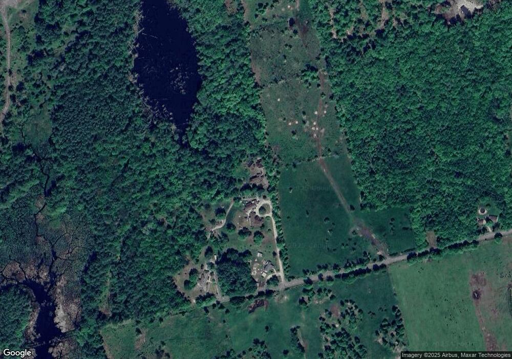
Map
Nearby Homes
- 0 Als Dr Unit 196
- 57 Lyndsey Ln
- 0 Huntington Hill Rd Unit 69
- 40 N Woods Rd
- 849 River Rd
- 92 Woodbury Rd
- 233 N Stark Hwy
- 10 Sap House Rd
- 49 Stark Hwy N
- 1003 School St
- 15 Robert Rogers Rd
- 464 Irish Hill Rd
- 256 Irish Hill Rd
- 256-0-17 Jewett Rd
- 541 South Rd
- 3 Stephanie Rd
- I3-03-05 Clinton St
- 250 Grapevine Rd
- 101-125 Winslow Rd
- 281 Hodgdon Rd
- 64 Dunbar Rd
- 62 Dunbar Rd
- 80 Dunbar Rd
- 14 Dunbar Rd
- 294 S Sugar Hill Rd
- 6 Dunbar Rd
- 332 S Sugar Hill Rd
- 112 Cross Rd
- 293 S Sugar Hill Rd
- 285 S Sugar Hill Rd
- 311 S Sugar Hill Rd
- 132 Cross Rd
- 248 S Sugar Hill Rd
- 406-3 S Sugar Hill Rd
- 111 Cross Rd
- 238 S Sugar Hill Rd
- 352 S Sugar Hill Rd
- 131 Cross Rd
- 370 S Sugar Hill Rd
- 175 Cross Rd