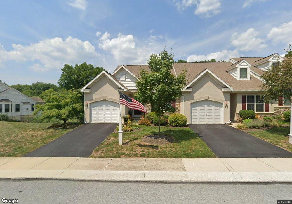
66 Duncan St Unit 47 Lancaster, PA 17602
Bridgeport NeighborhoodEstimated Value: $385,000 - $410,000
3
Beds
3
Baths
2,091
Sq Ft
$191/Sq Ft
Est. Value
About This Home
This home is located at 66 Duncan St Unit 47, Lancaster, PA 17602 and is currently estimated at $398,622, approximately $190 per square foot. 66 Duncan St Unit 47 is a home located in Lancaster County with nearby schools including Lampeter Elementary School, Hans Herr Elementary School, and Martin Meylin Middle School.
Ownership History
Date
Name
Owned For
Owner Type
Purchase Details
Closed on
May 24, 2023
Sold by
Slusser Elaine S
Bought by
Smith Charles T and Ayd Louise E
Current Estimated Value
Purchase Details
Closed on
Mar 29, 2019
Sold by
Rode Lois M
Bought by
Slusser Elaine S
Purchase Details
Closed on
Oct 2, 2009
Sold by
Brown Tracy A
Bought by
Rode Clifford J and Rode Lois M
Create a Home Valuation Report for This Property
The Home Valuation Report is an in-depth analysis detailing your home's value as well as a comparison with similar homes in the area
Home Values in the Area
Average Home Value in this Area
Purchase History
| Date | Buyer | Sale Price | Title Company |
|---|---|---|---|
| Smith Charles T | $378,000 | None Listed On Document | |
| Slusser Elaine S | $259,900 | None Available | |
| Rode Clifford J | $224,000 | None Available |
Source: Public Records
Tax History Compared to Growth
Tax History
| Year | Tax Paid | Tax Assessment Tax Assessment Total Assessment is a certain percentage of the fair market value that is determined by local assessors to be the total taxable value of land and additions on the property. | Land | Improvement |
|---|---|---|---|---|
| 2025 | $4,843 | $218,900 | -- | $218,900 |
| 2024 | $4,843 | $218,900 | -- | $218,900 |
| 2023 | $4,736 | $218,900 | $0 | $218,900 |
| 2022 | $4,665 | $218,900 | $0 | $218,900 |
| 2021 | $4,555 | $218,900 | $0 | $218,900 |
| 2020 | $4,555 | $218,900 | $0 | $218,900 |
| 2019 | $4,493 | $218,900 | $0 | $218,900 |
| 2018 | $3,536 | $218,900 | $0 | $218,900 |
| 2017 | $4,905 | $194,800 | $0 | $194,800 |
| 2016 | $4,905 | $194,800 | $0 | $194,800 |
| 2015 | $961 | $194,800 | $0 | $194,800 |
| 2014 | $3,712 | $194,800 | $0 | $194,800 |
Source: Public Records
Map
Nearby Homes
- 154 River Bend Park
- 415 Lampeter Rd
- 452 Longfellow Dr
- 305 Conestoga Blvd
- 235 Landis Dr
- 1560 S Jefferson Ct
- 257 Longfellow Dr
- 6 Woodlyn Ct
- 11 Clayton Ave
- 1827 Krystle Dr
- 1624 Morningside Dr
- 1153 S Duke St
- 516 Conestoga Greenway Trail
- 1864 Lincoln Hwy E
- 1036 E King St
- 18 Red Leaf Ln
- 19 Thicket Ln
- 36 Myers Crossing
- 911 E King St
- 980 E Orange St
- 66 Duncan St
- 68 Duncan St
- 70 Duncan St
- 72 Duncan St Unit 50
- 64 Duncan St
- 62 Duncan St Unit 45
- 73 Duncan St Unit 97
- 71 Duncan St Unit 98
- 75 Duncan St Unit 96
- 69 Duncan St
- 77 Duncan St
- 74 Duncan St
- 67 Duncan St
- 67 Duncan St Unit 100
- 60 Duncan St Unit 44
- 79 Duncan St
- 65 Duncan St
- 65 Duncan St Unit 101
- 76 Duncan St
- 76 Duncan St Unit 52