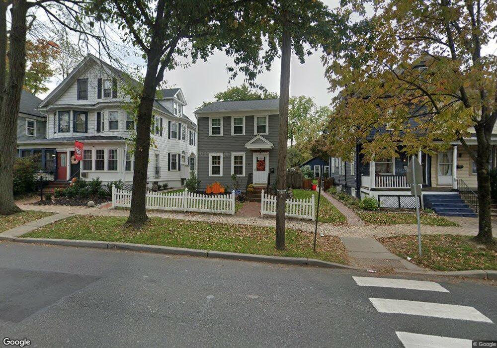
66 Grove St Haddonfield, NJ 08033
Estimated Value: $447,000 - $723,000
Studio
--
Bath
1,574
Sq Ft
$403/Sq Ft
Est. Value
About This Home
This home is located at 66 Grove St, Haddonfield, NJ 08033 and is currently estimated at $634,550, approximately $403 per square foot. 66 Grove St is a home located in Camden County with nearby schools including Haddonfield Memorial High School, Haddonfield Friends School, and Christ the King Regional School.
Ownership History
Date
Name
Owned For
Owner Type
Purchase Details
Closed on
Mar 29, 2007
Sold by
Cistone Rosemarie
Bought by
Littleton Margaret Leone
Current Estimated Value
Home Financials for this Owner
Home Financials are based on the most recent Mortgage that was taken out on this home.
Original Mortgage
$365,655
Outstanding Balance
$221,571
Interest Rate
6.19%
Estimated Equity
$412,979
Purchase Details
Closed on
Aug 25, 2000
Sold by
Loperfido Joseph
Bought by
Satz Rosemarie
Home Financials for this Owner
Home Financials are based on the most recent Mortgage that was taken out on this home.
Original Mortgage
$163,132
Interest Rate
8.16%
Purchase Details
Closed on
Apr 29, 1994
Sold by
Wilson Jack
Bought by
Loperfido Joseph and Loperfido Amy
Home Financials for this Owner
Home Financials are based on the most recent Mortgage that was taken out on this home.
Original Mortgage
$153,000
Interest Rate
7.7%
Create a Home Valuation Report for This Property
The Home Valuation Report is an in-depth analysis detailing your home's value as well as a comparison with similar homes in the area
Home Values in the Area
Average Home Value in this Area
Purchase History
| Date | Buyer | Sale Price | Title Company |
|---|---|---|---|
| Littleton Margaret Leone | $384,900 | -- | |
| Satz Rosemarie | $239,900 | -- | |
| Loperfido Joseph | $170,000 | -- |
Source: Public Records
Mortgage History
| Date | Status | Borrower | Loan Amount |
|---|---|---|---|
| Open | Littleton Margaret Leone | $365,655 | |
| Previous Owner | Satz Rosemarie | $163,132 | |
| Previous Owner | Loperfido Joseph | $153,000 |
Source: Public Records
Tax History
| Year | Tax Paid | Tax Assessment Tax Assessment Total Assessment is a certain percentage of the fair market value that is determined by local assessors to be the total taxable value of land and additions on the property. | Land | Improvement |
|---|---|---|---|---|
| 2025 | $11,848 | $366,700 | $157,100 | $209,600 |
| 2024 | $11,690 | $366,700 | $157,100 | $209,600 |
| 2023 | $11,690 | $366,700 | $157,100 | $209,600 |
| 2022 | $11,599 | $366,700 | $157,100 | $209,600 |
| 2021 | $11,540 | $366,700 | $157,100 | $209,600 |
| 2020 | $11,459 | $366,700 | $157,100 | $209,600 |
| 2019 | $114 | $366,700 | $157,100 | $209,600 |
| 2018 | $11,232 | $366,700 | $157,100 | $209,600 |
| 2017 | $10,964 | $366,700 | $157,100 | $209,600 |
| 2016 | $10,719 | $366,700 | $157,100 | $209,600 |
| 2015 | $10,422 | $366,700 | $157,100 | $209,600 |
| 2014 | $10,191 | $366,700 | $157,100 | $209,600 |
Source: Public Records
Map
Nearby Homes
- 286-288 Lake St
- 30 Potter St
- 32 Potter St
- 60 Potter St
- 13 Wilkins Ave
- 110 Potter St
- 166 Ellis St
- 13 W Euclid Ave
- 107 Centre St
- 123 Hawthorne Ave
- 109 S Atlantic Ave
- 139 Rhoads Ave
- 209 Haddonfield Commons
- 35 Estaugh Ave
- 33 Estaugh Ave
- 102 A Cherry Parke
- 128 E Cherry Parke
- 109 W Euclid Ave
- 156 Ardmore Ave
- 412 Westmont Ave
Your Personal Tour Guide
Ask me questions while you tour the home.