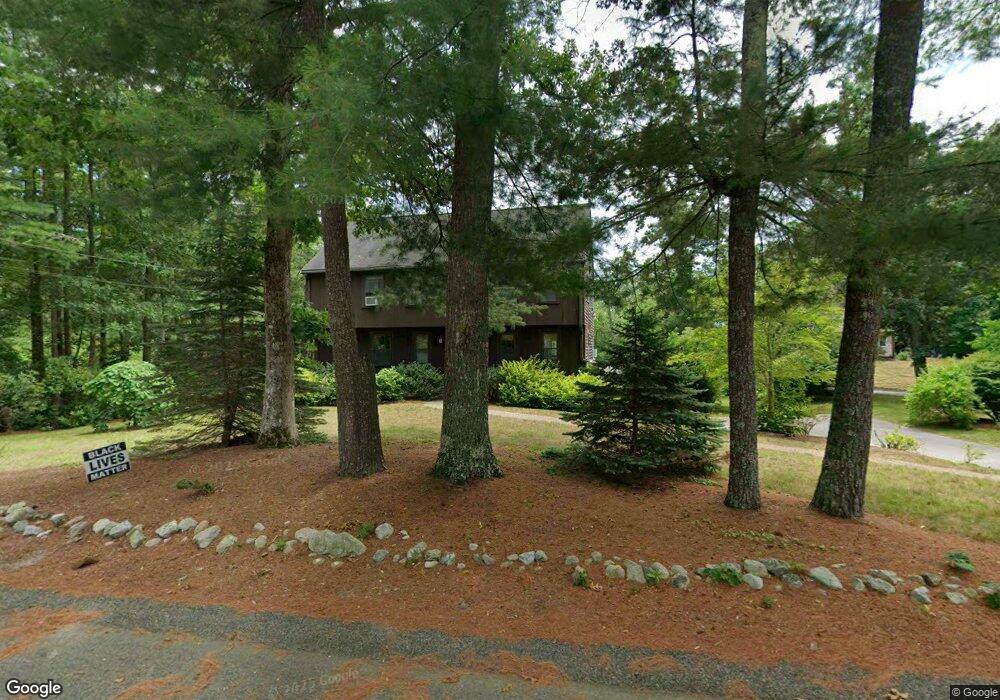
66 Hitty Tom Rd Duxbury, MA 02332
Estimated Value: $807,599 - $865,000
4
Beds
3
Baths
1,900
Sq Ft
$438/Sq Ft
Est. Value
About This Home
This home is located at 66 Hitty Tom Rd, Duxbury, MA 02332 and is currently estimated at $832,650, approximately $438 per square foot. 66 Hitty Tom Rd is a home located in Plymouth County with nearby schools including Chandler Elementary School, Alden School, and Duxbury Middle School.
Ownership History
Date
Name
Owned For
Owner Type
Purchase Details
Closed on
Dec 27, 1991
Sold by
Ge Capital Mtg Ser Inc
Bought by
Salmon Robt J and Taylor Virginia M
Current Estimated Value
Purchase Details
Closed on
Aug 14, 1991
Sold by
Meyer James A and Meyer Susan H
Bought by
Ge Capital Mtg Service
Purchase Details
Closed on
Apr 14, 1988
Sold by
Bunn Bennie G
Bought by
Meyer James A
Create a Home Valuation Report for This Property
The Home Valuation Report is an in-depth analysis detailing your home's value as well as a comparison with similar homes in the area
Home Values in the Area
Average Home Value in this Area
Purchase History
| Date | Buyer | Sale Price | Title Company |
|---|---|---|---|
| Salmon Robt J | $175,000 | -- | |
| Ge Capital Mtg Service | $210,000 | -- | |
| Meyer James A | $235,000 | -- |
Source: Public Records
Mortgage History
| Date | Status | Borrower | Loan Amount |
|---|---|---|---|
| Open | Meyer James A | $50,000 | |
| Open | Meyer James A | $170,000 | |
| Closed | Meyer James A | $50,000 |
Source: Public Records
Tax History Compared to Growth
Tax History
| Year | Tax Paid | Tax Assessment Tax Assessment Total Assessment is a certain percentage of the fair market value that is determined by local assessors to be the total taxable value of land and additions on the property. | Land | Improvement |
|---|---|---|---|---|
| 2025 | $7,218 | $711,800 | $350,500 | $361,300 |
| 2024 | $7,093 | $705,100 | $350,500 | $354,600 |
| 2023 | $6,791 | $635,300 | $364,400 | $270,900 |
| 2022 | $7,142 | $556,200 | $300,300 | $255,900 |
| 2021 | $6,972 | $481,500 | $252,000 | $229,500 |
| 2020 | $7,135 | $486,700 | $254,000 | $232,700 |
| 2019 | $6,659 | $453,600 | $211,700 | $241,900 |
| 2018 | $6,388 | $421,400 | $196,800 | $224,600 |
| 2017 | $6,274 | $404,500 | $183,900 | $220,600 |
| 2016 | $6,290 | $404,500 | $183,900 | $220,600 |
| 2015 | $6,586 | $422,200 | $201,600 | $220,600 |
Source: Public Records
Map
Nearby Homes
- 65 Hitty Tom Rd
- 15 Autumn Ave
- 0 Wildwood Cir
- 7 Green Holly Dr
- 64 Trout Farm Ln
- 42 Trout Farm Ln Unit 2
- 6 Kingstown Way
- 96 Lake Shore Dr
- 17 Trout Farm Ln
- 0 Kingstown Way
- 61 Chapel St
- 94 Buckboard Rd
- 0 East St
- 197 Off Tarkiln Rd
- 37 Tarkiln Rd
- 45 Summer St
- 346 Summer St
- 1 Tarkiln Rd
- 202 Birch St
- 1 Strawberry Ln