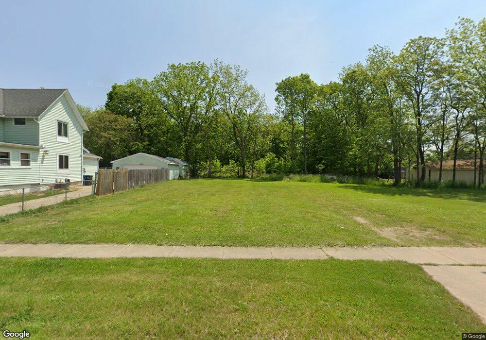
66 Kendall St N Battle Creek, MI 49037
North Central NeighborhoodEstimated Value: $75,000 - $142,000
--
Bed
--
Bath
--
Sq Ft
6,403
Sq Ft Lot
About This Home
This home is located at 66 Kendall St N, Battle Creek, MI 49037 and is currently estimated at $108,500. 66 Kendall St N is a home located in Calhoun County with nearby schools including Ann J. Kellogg School, Northwestern Middle School, and Battle Creek Central High School.
Ownership History
Date
Name
Owned For
Owner Type
Purchase Details
Closed on
May 28, 2025
Sold by
Calhoun County Land Bank Authority
Bought by
Stone Jared
Current Estimated Value
Purchase Details
Closed on
Dec 12, 2013
Sold by
Calhoun County Treasurer
Bought by
Calhoun County Land Bank Authority
Purchase Details
Closed on
Jul 18, 2000
Sold by
Coy Lawrence and Barbara Ann
Bought by
Coy Laurence and Barbara Ann
Purchase Details
Closed on
Nov 15, 1996
Bought by
Coy Lawrence and Barbara Ann
Create a Home Valuation Report for This Property
The Home Valuation Report is an in-depth analysis detailing your home's value as well as a comparison with similar homes in the area
Home Values in the Area
Average Home Value in this Area
Purchase History
| Date | Buyer | Sale Price | Title Company |
|---|---|---|---|
| Stone Jared | $200 | None Listed On Document | |
| Stone Jared | $200 | None Listed On Document | |
| Calhoun County Land Bank Authority | -- | None Available | |
| Coy Laurence | -- | -- | |
| Coy Lawrence | -- | -- |
Source: Public Records
Tax History Compared to Growth
Tax History
| Year | Tax Paid | Tax Assessment Tax Assessment Total Assessment is a certain percentage of the fair market value that is determined by local assessors to be the total taxable value of land and additions on the property. | Land | Improvement |
|---|---|---|---|---|
| 2025 | -- | $0 | $0 | $0 |
| 2024 | -- | $0 | $0 | $0 |
| 2023 | -- | $0 | $0 | $0 |
| 2022 | $0 | $0 | $0 | $0 |
| 2021 | $0 | $0 | $0 | $0 |
| 2020 | $0 | $0 | $0 | $0 |
| 2019 | $0 | $0 | $0 | $0 |
| 2018 | $0 | $0 | $0 | $0 |
| 2017 | $0 | $2,456 | $0 | $0 |
| 2016 | $0 | $2,456 | $0 | $0 |
| 2015 | -- | $2,456 | $2,456 | $0 |
| 2014 | -- | $2,456 | $2,456 | $0 |
Source: Public Records
Map
Nearby Homes
- 125 Oaklawn Ave
- V/L W Michigan 055 Ave
- 35 Hubbard St
- 16 Wood St S
- 0 W Vanburen 032 St Unit 22040288
- 0 W Michigan 005 Ave Unit 22040281
- 0 W Ave Unit 22040282
- 0 W Michigan 010 Ave Unit 22040284
- 562 Van Buren St W
- 0 W Vanburen 025 St Unit 22040286
- 9 Thorne St
- 0 W Michigan 011 Ave Unit 22040285
- 0 W Vanburen 027 St Unit 22040287
- 216 Kendall St N
- 60 Graves Ave
- 253 Greenwood Ave
- 0 W Jackson 061 St Unit 22040291
- V/L Ave
- 69 Jordan St
- 319 Hamblin Ave
- 72 Kendall St N
- 366 Champion St
- 171 Manchester St W
- 4712 Kendall St N
- 82 Kendall St N
- 47 1/2 Kendall St N
- 26 Reed Ct
- 47 Kendall St S
- 135 Manchester St W
- 127 Manchester St W
- 360 Champion St
- 93 Kendall St N
- 123 Manchester St W
- 0 W Manchester St Unit 55021102293
- 0 W Manchester St Unit M20041653
- 0 W Manchester St Unit M20040878
- 0 W Manchester St Unit 21102293
- 0 W Manchester St
- W W Manchester St
- 111 W West Manchester St