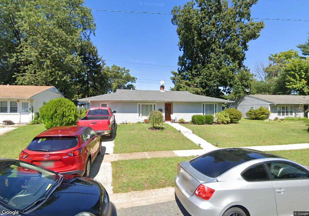
66 Kenmar Dr Newark, DE 19713
Estimated Value: $268,000 - $329,000
3
Beds
1
Bath
1,292
Sq Ft
$229/Sq Ft
Est. Value
About This Home
This home is located at 66 Kenmar Dr, Newark, DE 19713 and is currently estimated at $296,490, approximately $229 per square foot. 66 Kenmar Dr is a home located in New Castle County with nearby schools including Brookside Elementary School, Gauger-Cobbs Middle School, and Newark High School.
Ownership History
Date
Name
Owned For
Owner Type
Purchase Details
Closed on
Sep 3, 2002
Sold by
Simon Maureen K and Simon Paul Joseph
Bought by
Rosiles Armando Garcia
Current Estimated Value
Home Financials for this Owner
Home Financials are based on the most recent Mortgage that was taken out on this home.
Original Mortgage
$119,000
Outstanding Balance
$49,819
Interest Rate
6.27%
Estimated Equity
$246,671
Create a Home Valuation Report for This Property
The Home Valuation Report is an in-depth analysis detailing your home's value as well as a comparison with similar homes in the area
Home Values in the Area
Average Home Value in this Area
Purchase History
| Date | Buyer | Sale Price | Title Company |
|---|---|---|---|
| Rosiles Armando Garcia | $119,000 | -- |
Source: Public Records
Mortgage History
| Date | Status | Borrower | Loan Amount |
|---|---|---|---|
| Open | Rosiles Armando Garcia | $119,000 | |
| Closed | Rosiles Armando Garcia | $5,000 |
Source: Public Records
Tax History
| Year | Tax Paid | Tax Assessment Tax Assessment Total Assessment is a certain percentage of the fair market value that is determined by local assessors to be the total taxable value of land and additions on the property. | Land | Improvement |
|---|---|---|---|---|
| 2024 | -- | $40,200 | $7,700 | $32,500 |
| 2023 | $1,669 | $40,200 | $7,700 | $32,500 |
| 2022 | $1,665 | $40,200 | $7,700 | $32,500 |
| 2021 | $1,588 | $40,200 | $7,700 | $32,500 |
| 2020 | $1,588 | $40,200 | $7,700 | $32,500 |
| 2019 | $1,918 | $40,200 | $7,700 | $32,500 |
| 2018 | $1,368 | $40,200 | $7,700 | $32,500 |
| 2017 | $1,319 | $40,200 | $7,700 | $32,500 |
| 2016 | $1,315 | $40,200 | $7,700 | $32,500 |
| 2015 | $1,199 | $40,200 | $7,700 | $32,500 |
| 2014 | $1,198 | $40,200 | $7,700 | $32,500 |
Source: Public Records
Map
Nearby Homes
- 26 Kensington Ln
- 11 Kensington Ln
- 1202 Pinefield Rd
- 831 Broadfield Dr
- 886 Broadfield Dr
- 3 Merry Rd
- 600 Judy Way
- 148 Brookside Blvd
- 119 Felix Dr
- 20 Ardmore Rd
- 6 Fleming St
- 1000 Fountainview Cir Unit 309
- 3000 Fountainview Cir Unit 3411
- 11 Carnegie Ct
- 42 Lynch Farm Dr
- 317 Cannons Way
- 22 Alwyn Rd
- 25 Glyn Dr
- 17 Pearson Dr
- 103 Anglin Dr
Your Personal Tour Guide
Ask me questions while you tour the home.