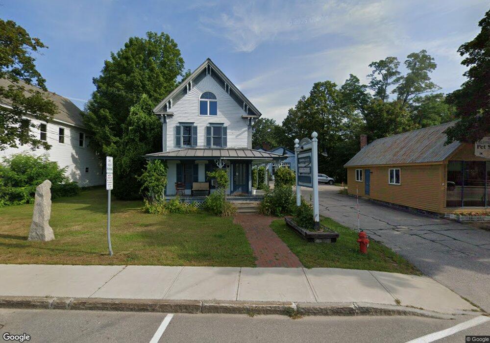
66 Main St Conway, NH 03818
Studio
--
Bath
--
Sq Ft
31,799
Sq Ft Lot
About This Home
This home is located at 66 Main St, Conway, NH 03818. 66 Main St is a home located in Carroll County with nearby schools including A. Crosby Kennett Middle School, Kennett High School, and Robert Frost Charter School.
Ownership History
Date
Name
Owned For
Owner Type
Purchase Details
Closed on
May 29, 2018
Sold by
Russell S Kennett Rt and Kennett Bayard W
Bought by
Ohlson Properties 2 Ll
Home Financials for this Owner
Home Financials are based on the most recent Mortgage that was taken out on this home.
Original Mortgage
$465,000
Outstanding Balance
$401,238
Interest Rate
4.4%
Mortgage Type
Purchase Money Mortgage
Purchase Details
Closed on
May 20, 2013
Sold by
Kennett Russell S
Bought by
Russell S Kennett Rt and Kennett
Purchase Details
Closed on
Dec 7, 1993
Bought by
Russell S Kennett Rt
Create a Home Valuation Report for This Property
The Home Valuation Report is an in-depth analysis detailing your home's value as well as a comparison with similar homes in the area
Home Values in the Area
Average Home Value in this Area
Purchase History
| Date | Buyer | Sale Price | Title Company |
|---|---|---|---|
| Ohlson Properties 2 Ll | $460,000 | -- | |
| Ohlson Properties 2 Ll | $460,000 | -- | |
| Russell S Kennett Rt | -- | -- | |
| Russell S Kennett Rt | -- | -- | |
| Russell S Kennett Rt | -- | -- |
Source: Public Records
Mortgage History
| Date | Status | Borrower | Loan Amount |
|---|---|---|---|
| Open | Ohlson Properties 2 Ll | $465,000 | |
| Closed | Ohlson Properties 2 Ll | $465,000 |
Source: Public Records
Tax History
| Year | Tax Paid | Tax Assessment Tax Assessment Total Assessment is a certain percentage of the fair market value that is determined by local assessors to be the total taxable value of land and additions on the property. | Land | Improvement |
|---|---|---|---|---|
| 2024 | $6,341 | $493,500 | $122,500 | $371,000 |
| 2023 | $5,883 | $493,500 | $122,500 | $371,000 |
| 2022 | $8,212 | $422,000 | $97,500 | $324,500 |
| 2021 | $6,895 | $422,000 | $97,500 | $324,500 |
| 2020 | $7,748 | $422,000 | $97,500 | $324,500 |
| 2019 | $7,309 | $422,000 | $97,500 | $324,500 |
| 2018 | $8,250 | $379,500 | $97,500 | $282,000 |
| 2017 | $7,582 | $379,500 | $97,500 | $282,000 |
| 2016 | $7,328 | $379,500 | $97,500 | $282,000 |
| 2015 | $7,245 | $379,500 | $97,500 | $282,000 |
| 2014 | $7,157 | $379,500 | $97,500 | $282,000 |
| 2013 | $6,778 | $379,500 | $97,500 | $282,000 |
Source: Public Records
Map
Nearby Homes
- 76 Main St
- 6 Main St
- 215 Hillside Ave
- 9 E Side Rd
- 196 E Main St Unit 5 (old 103)
- lots42,43,44,49 G St
- 229 Tasker Hill Rd
- 106 Fairview Ave
- 123 Oxbow Ln
- 54 Woodland Grove Rd
- 18 Woodland Grove Rd
- 27 Firelite Rd
- 66 Lamplighter's Dr
- 43 Lamplighter's Dr
- 74 Lamplighter's Dr
- 15 Trailer Ave
- 592 Eaton Rd
- 65 Westwind Dr
- 26 Campfire St
- 357 Lamplighters Park
- 62 Main St
- 70 Main St
- 76 Main St Unit 2
- 76 Main St Unit 1
- 80 Main St
- 48 Main St
- Lot 5 Bonita's Way
- 73 Main St
- 73 Main St Unit 4
- 44 Main St
- 46 Main St
- 80 White Mountain Hwy
- 73 New Hampshire 16
- 36 Main St
- 32 Main St Unit 2
- 85 Main St
- 85 Main St Unit 1
- 32 New Hampshire 113
- 30 Main St Unit 3
- 28 Main St Unit 4
Your Personal Tour Guide
Ask me questions while you tour the home.