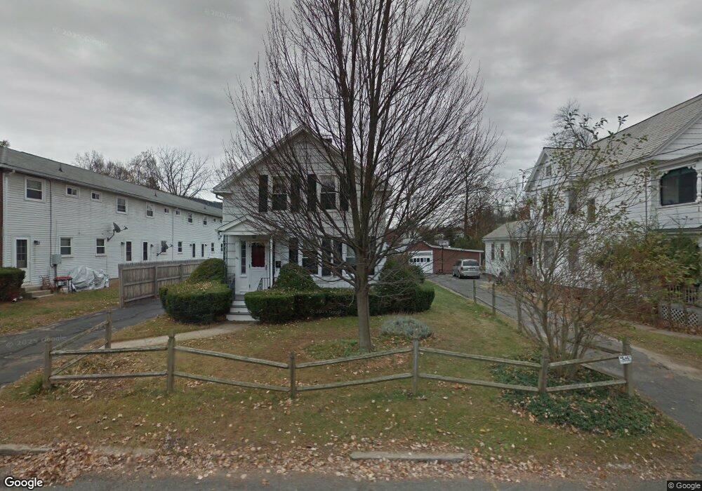
66 Maple St Easthampton, MA 01027
Estimated Value: $346,000 - $362,191
3
Beds
1
Bath
1,291
Sq Ft
$272/Sq Ft
Est. Value
About This Home
This home is located at 66 Maple St, Easthampton, MA 01027 and is currently estimated at $350,798, approximately $271 per square foot. 66 Maple St is a home located in Hampshire County with nearby schools including Easthampton High School, Tri-County Schools, and New England Adolescent Research Institute.
Ownership History
Date
Name
Owned For
Owner Type
Purchase Details
Closed on
Aug 5, 2002
Sold by
Wiehe Emily A
Bought by
Roth Eric H and Werry Elizabeth A
Current Estimated Value
Home Financials for this Owner
Home Financials are based on the most recent Mortgage that was taken out on this home.
Original Mortgage
$88,500
Interest Rate
6.64%
Mortgage Type
Purchase Money Mortgage
Purchase Details
Closed on
May 15, 2001
Sold by
Bassett Betty and Bassett Chester J
Bought by
Wiehe Emily A
Home Financials for this Owner
Home Financials are based on the most recent Mortgage that was taken out on this home.
Original Mortgage
$120,555
Interest Rate
6.88%
Mortgage Type
Purchase Money Mortgage
Create a Home Valuation Report for This Property
The Home Valuation Report is an in-depth analysis detailing your home's value as well as a comparison with similar homes in the area
Home Values in the Area
Average Home Value in this Area
Purchase History
| Date | Buyer | Sale Price | Title Company |
|---|---|---|---|
| Roth Eric H | $147,500 | -- | |
| Wiehe Emily A | $126,900 | -- |
Source: Public Records
Mortgage History
| Date | Status | Borrower | Loan Amount |
|---|---|---|---|
| Open | Wiehe Emily A | $102,000 | |
| Closed | Wiehe Emily A | $88,500 | |
| Closed | Wiehe Emily A | $9,296 | |
| Previous Owner | Wiehe Emily A | $120,555 |
Source: Public Records
Tax History
| Year | Tax Paid | Tax Assessment Tax Assessment Total Assessment is a certain percentage of the fair market value that is determined by local assessors to be the total taxable value of land and additions on the property. | Land | Improvement |
|---|---|---|---|---|
| 2025 | $4,089 | $299,100 | $95,500 | $203,600 |
| 2024 | $3,897 | $287,400 | $92,800 | $194,600 |
| 2023 | $2,929 | $199,900 | $73,200 | $126,700 |
| 2022 | $3,304 | $199,900 | $73,200 | $126,700 |
| 2021 | $3,620 | $206,400 | $73,200 | $133,200 |
| 2020 | $3,550 | $199,900 | $73,200 | $126,700 |
| 2019 | $2,122 | $188,200 | $73,200 | $115,000 |
| 2018 | $2,798 | $174,900 | $69,100 | $105,800 |
| 2017 | $2,728 | $168,300 | $66,400 | $101,900 |
| 2016 | $2,604 | $167,000 | $66,400 | $100,600 |
| 2015 | $2,530 | $167,000 | $66,400 | $100,600 |
Source: Public Records
Map
Nearby Homes
- 2 Oak St
- 40 Clark St
- 33 Knipfer Ave
- 4 Gaugh St
- 19 Nicols Way Unit 19
- 7 Union Ct
- 12 Glen Cove Place Unit B
- 10 Glen Cove Place Unit A
- 18-20 Oakdale Place
- 29 Parsons St Unit 1
- 11 Dragon Cir
- 6 Wilton Rd
- 41 South St Unit 11
- 336 Main St
- 385 Main St
- 6 S St & Abutting Lots
- M143 &152 Glendale St
- 2 W Park Dr
- 211 East St Unit 11
- 36 & 36R Holly Cir
- 64 Maple St
- 67 Maple St
- 65 Maple St
- 63 Maple St
- 69 Maple St
- 68 Maple St
- 60 Maple St Unit 62
- 62 Maple St Unit Upper Level in Duple
- 62 Maple St Unit 6 months in Easthamp
- 70 Maple St Unit 72
- 70-72 Maple St
- 59 Maple St
- 58 Maple St
- 73 Maple St
- 57 Maple St
- 55 Maple St
- 54 Maple St
- 78 Maple St
- 23 Clark St
- 40 Briggs St
Your Personal Tour Guide
Ask me questions while you tour the home.