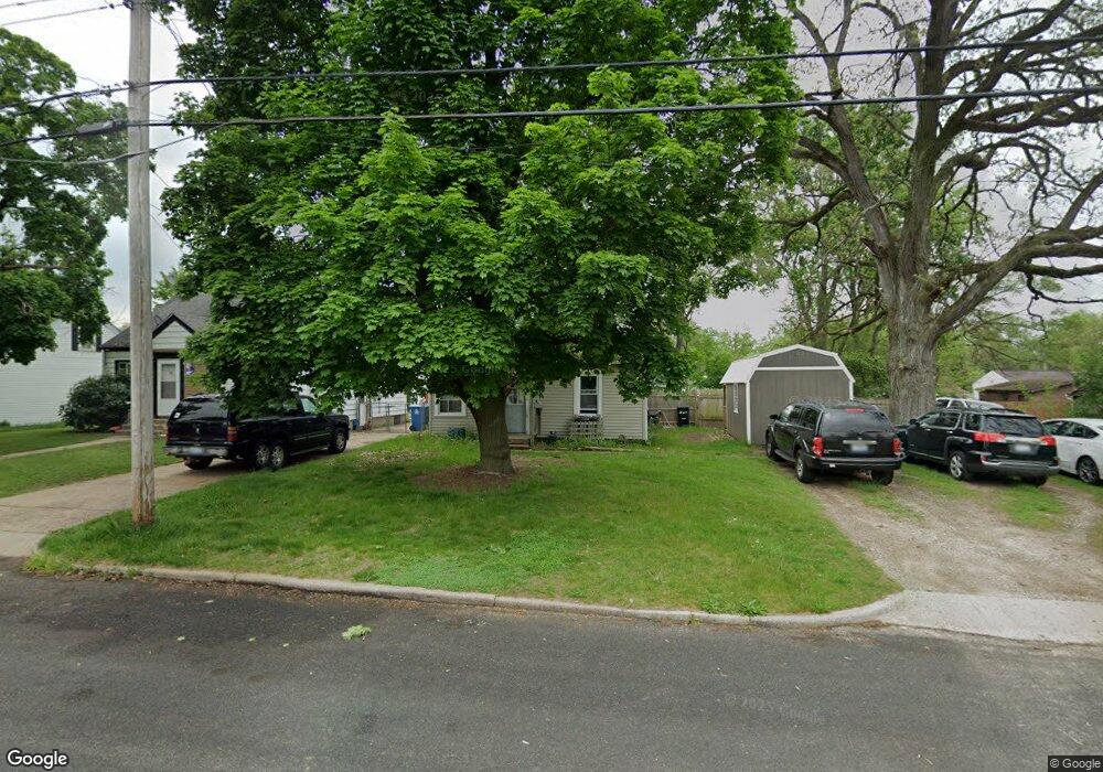
66 Mason Ave N Battle Creek, MI 49037
Urbandale NeighborhoodEstimated Value: $123,729 - $138,000
2
Beds
1
Bath
850
Sq Ft
$150/Sq Ft
Est. Value
About This Home
This home is located at 66 Mason Ave N, Battle Creek, MI 49037 and is currently estimated at $127,682, approximately $150 per square foot. 66 Mason Ave N is a home located in Calhoun County with nearby schools including LaMora Park School, Northwestern Middle School, and Battle Creek Central High School.
Ownership History
Date
Name
Owned For
Owner Type
Purchase Details
Closed on
Aug 21, 2018
Sold by
Talon Capital Partners Llc
Bought by
Ddcfrj Investments Lp
Current Estimated Value
Purchase Details
Closed on
Jun 15, 2014
Sold by
Future Capital Holdings Llc
Bought by
Musser Christopher T and Musser Jeanne M
Purchase Details
Closed on
May 4, 2009
Sold by
Jpmorgan Chase Bank National Association
Bought by
Federal National Mortgage Association
Purchase Details
Closed on
Feb 5, 2009
Sold by
Tapely Patricia K
Bought by
Jpmorgan Chase Bank National Association
Purchase Details
Closed on
Jul 4, 1999
Sold by
Tapley Norman B
Create a Home Valuation Report for This Property
The Home Valuation Report is an in-depth analysis detailing your home's value as well as a comparison with similar homes in the area
Home Values in the Area
Average Home Value in this Area
Purchase History
| Date | Buyer | Sale Price | Title Company |
|---|---|---|---|
| Ddcfrj Investments Lp | $60,363 | Sun Title Agency Of Michigan | |
| Musser Christopher T | $38,399 | None Available | |
| Federal National Mortgage Association | -- | None Available | |
| Jpmorgan Chase Bank National Association | $48,907 | None Available | |
| -- | -- | -- |
Source: Public Records
Mortgage History
| Date | Status | Borrower | Loan Amount |
|---|---|---|---|
| Closed | Musser Christopher T | $0 |
Source: Public Records
Tax History Compared to Growth
Tax History
| Year | Tax Paid | Tax Assessment Tax Assessment Total Assessment is a certain percentage of the fair market value that is determined by local assessors to be the total taxable value of land and additions on the property. | Land | Improvement |
|---|---|---|---|---|
| 2025 | -- | $47,900 | $0 | $0 |
| 2024 | $1,662 | $45,606 | $0 | $0 |
| 2023 | $2,070 | $36,387 | $0 | $0 |
| 2022 | $1,334 | $28,400 | $0 | $0 |
| 2021 | $1,622 | $26,238 | $0 | $0 |
| 2020 | $1,846 | $24,643 | $0 | $0 |
| 2019 | $2,014 | $24,426 | $0 | $0 |
| 2018 | $2,014 | $20,634 | $2,920 | $17,714 |
| 2017 | $1,670 | $21,276 | $0 | $0 |
| 2016 | $1,249 | $19,764 | $0 | $0 |
| 2015 | $699 | $17,058 | $7,860 | $9,198 |
| 2014 | $699 | $15,178 | $7,860 | $7,318 |
Source: Public Records
Map
Nearby Homes
- 180 Woodlawn Ave N
- 244 Woodlawn Ave N
- 84 Lamora Ave
- 213 Broadway Blvd
- 33 Mason Ave N
- 53 Lamora Ave
- 430 Presidential Dr
- 420 Presidential Dr
- 116 Geneva Ave
- 133 Mosher Ave
- 1823 Michigan Ave W
- 217 Creekview Dr
- 91 Mosher Ave
- 163 Spaulding Ave W
- 641 John Bria Rd
- 144 Maxine Place
- 81 Taylor Ave
- 112 Feld Ave
- 134 Creekview Dr
- 40 Kellogg St