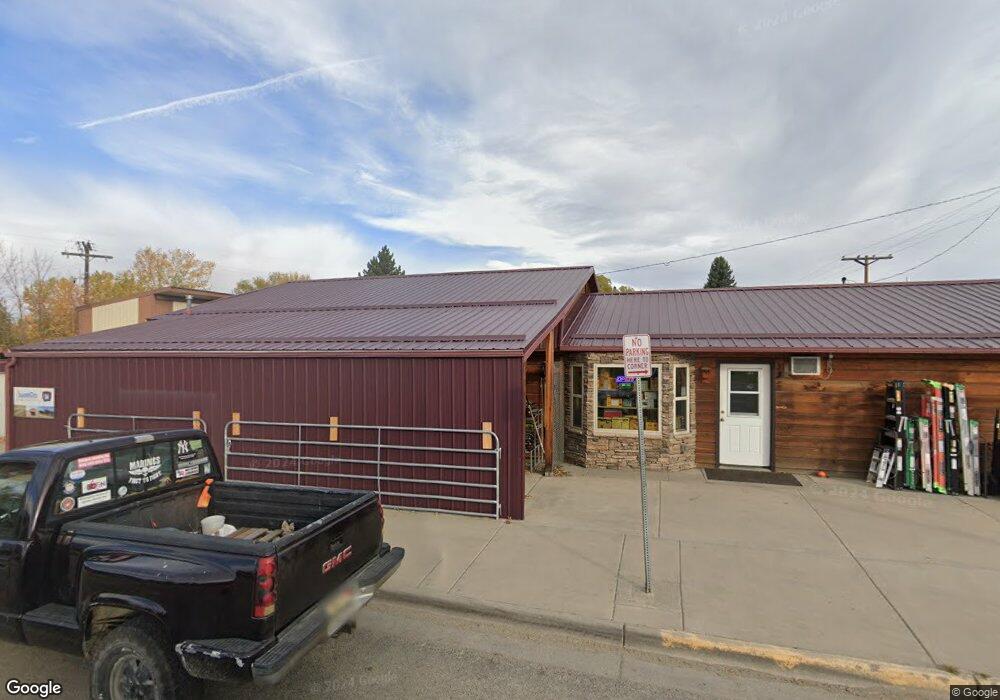
66 N Woodard Ave Absarokee, MT 59001
Estimated Value: $369,604
--
Bed
--
Bath
13,064
Sq Ft
$28/Sq Ft
Est. Value
About This Home
This home is located at 66 N Woodard Ave, Absarokee, MT 59001 and is currently estimated at $369,604, approximately $28 per square foot. 66 N Woodard Ave is a home located in Stillwater County with nearby schools including Absarokee School, Absarokee Junior High School, and Absarokee High School.
Create a Home Valuation Report for This Property
The Home Valuation Report is an in-depth analysis detailing your home's value as well as a comparison with similar homes in the area
Home Values in the Area
Average Home Value in this Area
Tax History Compared to Growth
Tax History
| Year | Tax Paid | Tax Assessment Tax Assessment Total Assessment is a certain percentage of the fair market value that is determined by local assessors to be the total taxable value of land and additions on the property. | Land | Improvement |
|---|---|---|---|---|
| 2025 | $3,116 | $338,700 | $0 | $0 |
| 2024 | $3,268 | $261,300 | $0 | $0 |
| 2023 | $3,225 | $261,300 | $0 | $0 |
| 2022 | $3,447 | $266,400 | $0 | $0 |
| 2021 | $2,212 | $266,400 | $0 | $0 |
| 2020 | $3,112 | $261,100 | $0 | $0 |
| 2019 | $3,068 | $261,100 | $0 | $0 |
| 2018 | $3,314 | $281,800 | $0 | $0 |
| 2017 | $3,409 | $281,800 | $0 | $0 |
| 2016 | $3,065 | $271,600 | $0 | $0 |
| 2015 | $2,368 | $271,600 | $0 | $0 |
| 2014 | $2,254 | $191,776 | $0 | $0 |
Source: Public Records
Map
Nearby Homes
- 10 S Woodard Ave
- 12 Avis St
- A Johnson Dr Unit A
- 221 W School St
- 2994 Highway 78
- 20 Crow Child Trail
- 2825 & 2830 Highway 78 S
- 47 Lower Hawk Valley Rd
- 91 Upper Hawk Valley Rd
- 37 Barham Rd
- 79 Meyers Rd
- 79 Myers Rd
- Lot 56 Hearts & Diamonds 2
- 564a Countryman Creek Rd
- 26 Yates Rd
- TBD Brumfield RD Brumfield Rd
- 26 O'Dare Dr
- 27 Kestel Trail
- LOT 215 Coyote Pass
- 51 Haystack Coulee Rd