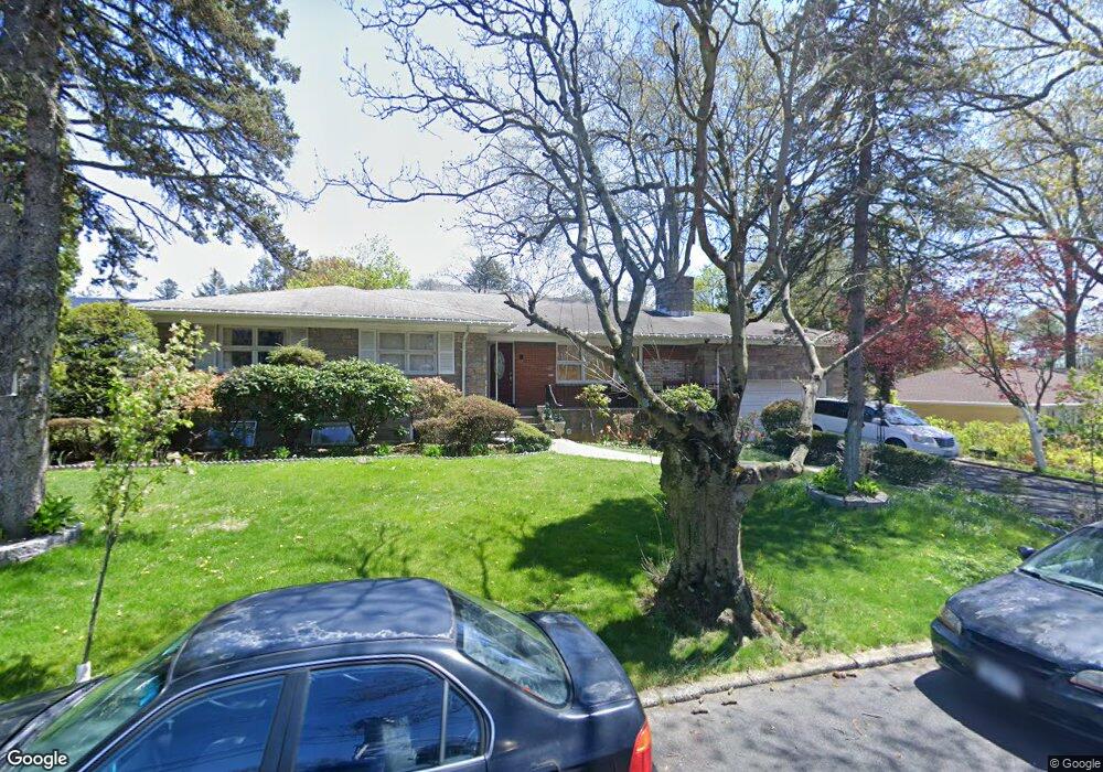
66 Nimitz Rd Yonkers, NY 10710
Crestwood NeighborhoodEstimated Value: $840,000 - $959,000
3
Beds
2
Baths
2,034
Sq Ft
$449/Sq Ft
Est. Value
About This Home
This home is located at 66 Nimitz Rd, Yonkers, NY 10710 and is currently estimated at $912,630, approximately $448 per square foot. 66 Nimitz Rd is a home located in Westchester County with nearby schools including Annunciation School.
Ownership History
Date
Name
Owned For
Owner Type
Purchase Details
Closed on
Jun 29, 2017
Sold by
Amato Dominick D and Hebron Mary Jane
Bought by
Amato Dominick D and Amato Marie D
Current Estimated Value
Home Financials for this Owner
Home Financials are based on the most recent Mortgage that was taken out on this home.
Original Mortgage
$424,000
Outstanding Balance
$218,341
Interest Rate
3.19%
Mortgage Type
New Conventional
Estimated Equity
$694,289
Purchase Details
Closed on
Mar 11, 2008
Sold by
Damato Maria
Bought by
Damato Dominick and Higgins Marie Damato
Purchase Details
Closed on
Nov 22, 2004
Sold by
Damato Maria
Bought by
Damato Maria
Create a Home Valuation Report for This Property
The Home Valuation Report is an in-depth analysis detailing your home's value as well as a comparison with similar homes in the area
Home Values in the Area
Average Home Value in this Area
Purchase History
| Date | Buyer | Sale Price | Title Company |
|---|---|---|---|
| Amato Dominick D | -- | Robin Schemitsch | |
| Pothen Ajish | $530,000 | Robin Schemitsch | |
| Damato Dominick | -- | None Available | |
| Damato Maria | -- | -- |
Source: Public Records
Mortgage History
| Date | Status | Borrower | Loan Amount |
|---|---|---|---|
| Open | Amato Dominick D | $424,000 |
Source: Public Records
Tax History Compared to Growth
Tax History
| Year | Tax Paid | Tax Assessment Tax Assessment Total Assessment is a certain percentage of the fair market value that is determined by local assessors to be the total taxable value of land and additions on the property. | Land | Improvement |
|---|---|---|---|---|
| 2024 | $2,205 | $12,376 | $5,100 | $7,276 |
| 2023 | $2,194 | $12,376 | $5,100 | $7,276 |
| 2022 | $2,179 | $12,376 | $5,100 | $7,276 |
| 2021 | $10,690 | $12,376 | $5,100 | $7,276 |
| 2020 | $10,692 | $12,376 | $5,100 | $7,276 |
| 2019 | $12,246 | $12,376 | $5,100 | $7,276 |
| 2018 | $10,112 | $12,376 | $5,100 | $7,276 |
| 2017 | $0 | $12,376 | $5,100 | $7,276 |
| 2016 | $8,984 | $12,376 | $5,100 | $7,276 |
| 2015 | -- | $12,376 | $5,100 | $7,276 |
| 2014 | -- | $13,000 | $5,100 | $7,900 |
| 2013 | -- | $13,000 | $5,100 | $7,900 |
Source: Public Records
Map
Nearby Homes
- 12 Bacon Place
- 33 Eisenhower Dr
- 127 Crisfield St
- 66 Crisfield St Unit 3Y
- 66 Crisfield St Unit 1D
- 66 Crisfield St Unit 3D
- 10 Alpha St
- 210 Wyndcliff Rd
- 7 &13 Cambridge Ave
- 25 Malvern Rd
- 20 Whistler Rd
- 49 Gail Rd
- 80 Dorset Rd
- 100 Woodford Rd
- 281 Garth Rd Unit C5A
- 281 Garth Rd Unit A6D
- 281 Garth Rd Unit C3D
- 281 Garth Rd Unit B6D
- 2 Fountain Ln Unit 2P
- 2 Fountain Ln Unit 1N