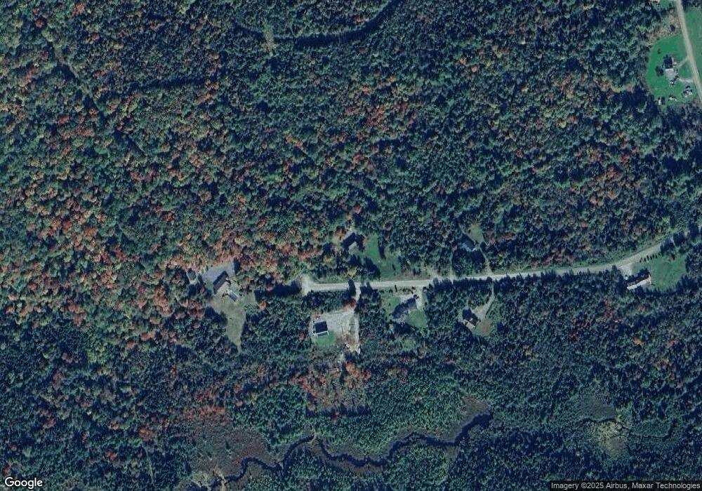
66 Panorama Dr Jefferson, NH 03583
Estimated Value: $395,619 - $473,000
3
Beds
1
Bath
1,800
Sq Ft
$245/Sq Ft
Est. Value
About This Home
This home is located at 66 Panorama Dr, Jefferson, NH 03583 and is currently estimated at $440,655, approximately $244 per square foot. 66 Panorama Dr is a home located in Coos County with nearby schools including Jefferson Elementary School and White Mountains Regional High School.
Ownership History
Date
Name
Owned For
Owner Type
Purchase Details
Closed on
Dec 12, 2011
Sold by
Pepe William and Pepe Michele M
Bought by
Barbara E Bammarito Re
Current Estimated Value
Home Financials for this Owner
Home Financials are based on the most recent Mortgage that was taken out on this home.
Original Mortgage
$140,000
Outstanding Balance
$96,137
Interest Rate
4.09%
Mortgage Type
Purchase Money Mortgage
Estimated Equity
$344,518
Create a Home Valuation Report for This Property
The Home Valuation Report is an in-depth analysis detailing your home's value as well as a comparison with similar homes in the area
Home Values in the Area
Average Home Value in this Area
Purchase History
| Date | Buyer | Sale Price | Title Company |
|---|---|---|---|
| Barbara E Bammarito Re | $175,000 | -- |
Source: Public Records
Mortgage History
| Date | Status | Borrower | Loan Amount |
|---|---|---|---|
| Open | Barbara E Bammarito Re | $140,000 |
Source: Public Records
Tax History Compared to Growth
Tax History
| Year | Tax Paid | Tax Assessment Tax Assessment Total Assessment is a certain percentage of the fair market value that is determined by local assessors to be the total taxable value of land and additions on the property. | Land | Improvement |
|---|---|---|---|---|
| 2023 | $4,876 | $271,800 | $119,000 | $152,800 |
| 2022 | $5,045 | $271,800 | $119,000 | $152,800 |
| 2021 | $4,843 | $271,800 | $119,000 | $152,800 |
| 2020 | $4,821 | $213,800 | $80,700 | $133,100 |
| 2019 | $4,701 | $213,800 | $80,700 | $133,100 |
| 2018 | $4,503 | $213,800 | $80,700 | $133,100 |
| 2017 | $4,415 | $213,800 | $80,700 | $133,100 |
| 2016 | $4,359 | $213,800 | $80,700 | $133,100 |
| 2015 | $4,481 | $220,000 | $79,400 | $140,600 |
| 2014 | $4,166 | $204,500 | $79,400 | $125,100 |
| 2013 | $4,039 | $204,500 | $79,400 | $125,100 |
Source: Public Records
Map
Nearby Homes
- 0 Bray Hill Rd Unit 5044055
- 22 Crystal Ave
- 48 Jason Ave
- Lot 3 Old Rd E
- 97 Jason Ave
- 85 Jason Ave
- 435 North Rd
- 218 Portland St
- 729 Presidential Hwy
- Lot 82 Portland St
- Lot 2 Portland St
- Lot 26 Hartco Ave
- Lot 21 Hartco Ave
- Lot 11 Hartco Ave
- Lot 14 Hartco Ave
- Lot 9 Hartco Ave
- Lot 24 Hartco Ave
- Lot 23 Hartco Ave
- Lot 17 Hartco Ave
- Lot 20 Hartco Ave
- 66 Panorama Dr
- Lot 5 Panorama Dr
- 61 Panorama Dr
- 52 Panorama Dr
- 76 Panorama Dr
- 232 Turnpike Rd
- 55 Panorama Dr
- 55 Panorama Dr
- 73 Panorama Dr
- 23 Panorama Dr
- 23 Panorama Dr
- 276 Turnpike Rd
- 245 Turnpike Rd
- 274 Turnpike Rd
- 204 Turnpike Rd
- 0 Bray Hill Rd Unit 4491113
- 0 Bray Hill Rd Unit 4243435
- 302 Turnpike Rd
- 156 Turnpike Rd
- 4 Sally's Dr