66 Pound Rd Wilmot, NH 03287
Estimated Value: $432,619 - $832,000
3
Beds
2
Baths
2,008
Sq Ft
$271/Sq Ft
Est. Value
About This Home
This home is located at 66 Pound Rd, Wilmot, NH 03287 and is currently estimated at $545,155, approximately $271 per square foot. 66 Pound Rd is a home located in Merrimack County with nearby schools including Kearsarge Elementary School - New London, Kearsarge Regional Middle School, and Kearsarge Regional High School.
Ownership History
Date
Name
Owned For
Owner Type
Purchase Details
Closed on
Sep 11, 2006
Sold by
Cooper William P and Cooper Barbara S
Bought by
Curley Sean T
Current Estimated Value
Home Financials for this Owner
Home Financials are based on the most recent Mortgage that was taken out on this home.
Original Mortgage
$220,875
Outstanding Balance
$61,846
Interest Rate
6%
Mortgage Type
Adjustable Rate Mortgage/ARM
Estimated Equity
$483,309
Purchase Details
Closed on
Dec 4, 2002
Sold by
Oneil Daniel H
Bought by
Cooper William P and Cooper Barbara S
Home Financials for this Owner
Home Financials are based on the most recent Mortgage that was taken out on this home.
Original Mortgage
$134,000
Interest Rate
6.34%
Create a Home Valuation Report for This Property
The Home Valuation Report is an in-depth analysis detailing your home's value as well as a comparison with similar homes in the area
Home Values in the Area
Average Home Value in this Area
Purchase History
| Date | Buyer | Sale Price | Title Company |
|---|---|---|---|
| Curley Sean T | $232,500 | -- | |
| Curley Sean T | $232,500 | -- | |
| Cooper William P | $167,500 | -- |
Source: Public Records
Mortgage History
| Date | Status | Borrower | Loan Amount |
|---|---|---|---|
| Open | Curley Sean T | $220,875 | |
| Closed | Cooper William P | $220,875 | |
| Previous Owner | Cooper William P | $134,000 |
Source: Public Records
Tax History Compared to Growth
Tax History
| Year | Tax Paid | Tax Assessment Tax Assessment Total Assessment is a certain percentage of the fair market value that is determined by local assessors to be the total taxable value of land and additions on the property. | Land | Improvement |
|---|---|---|---|---|
| 2024 | $6,216 | $242,800 | $74,400 | $168,400 |
| 2023 | $5,832 | $241,300 | $74,400 | $166,900 |
| 2022 | $5,162 | $242,100 | $74,400 | $167,700 |
| 2021 | $5,118 | $242,100 | $74,400 | $167,700 |
| 2020 | $5,118 | $242,100 | $74,400 | $167,700 |
| 2019 | $4,702 | $192,000 | $47,700 | $144,300 |
| 2018 | $4,702 | $192,000 | $47,700 | $144,300 |
| 2017 | $4,748 | $193,700 | $47,700 | $146,000 |
| 2016 | $4,705 | $193,700 | $47,700 | $146,000 |
| 2015 | $4,587 | $193,700 | $47,700 | $146,000 |
| 2014 | $3,820 | $182,600 | $46,900 | $135,700 |
| 2013 | $4,482 | $215,600 | $67,600 | $148,000 |
Source: Public Records
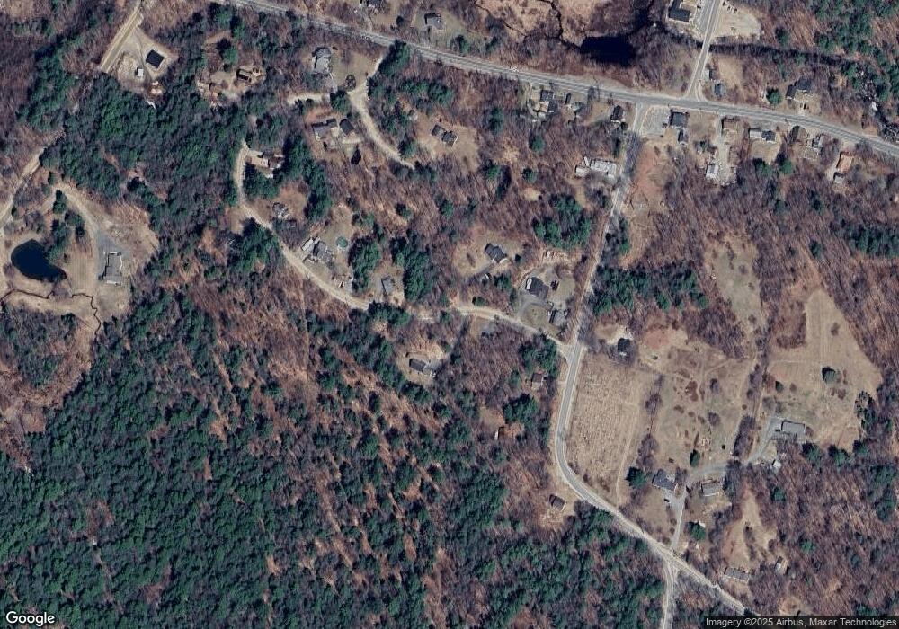
Map
Nearby Homes
- 133 Nh Route 4a
- 62 Patterson Rd
- Lot 3 Kimpton Brook Rd
- Lot 16 Granite Hill Rd
- 221 Campground Rd
- Lot 8 Stone Bridge Rd
- 658 N Wilmot Rd
- 0 Quiet Cove Way Unit 5
- 53 Elkins Rd
- Lot 2 Laurel Ln
- 24 Mountain Overlook
- 18 Cilleyville Rd
- 00 New Canada Rd Unit 7
- 163 Quaker Path Rd
- 58 Kearsarge Rd
- 155 Wilder Ln
- 000 Shaker Rd Unit 288
- 375 New Canada Rd
- 106 Lead Mine Rd
- 295 Andover Rd
- 71 Patterson Rd
- 10 Clarke Rd
- 20 Clarke Rd
- 32 Clarke Rd
- 100 Patterson Rd
- 82 Patterson Rd
- 50 Patterson Rd
- 21 Clarke Rd
- 47 Patterson Rd
- 12 Pinnacle Rd
- 59 N Wilmot Rd
- 53 Pinnacle Rd
- 45 Pinnacle Rd
- 33 Pinnacle Rd
- 25 N Wilmot Rd
- 326 Nh Route 4a
- 277 Nh Route 4a
- 6 Bunker Hill Rd
- 14 Bunker Hill Rd
- 306 Nh Route 4a