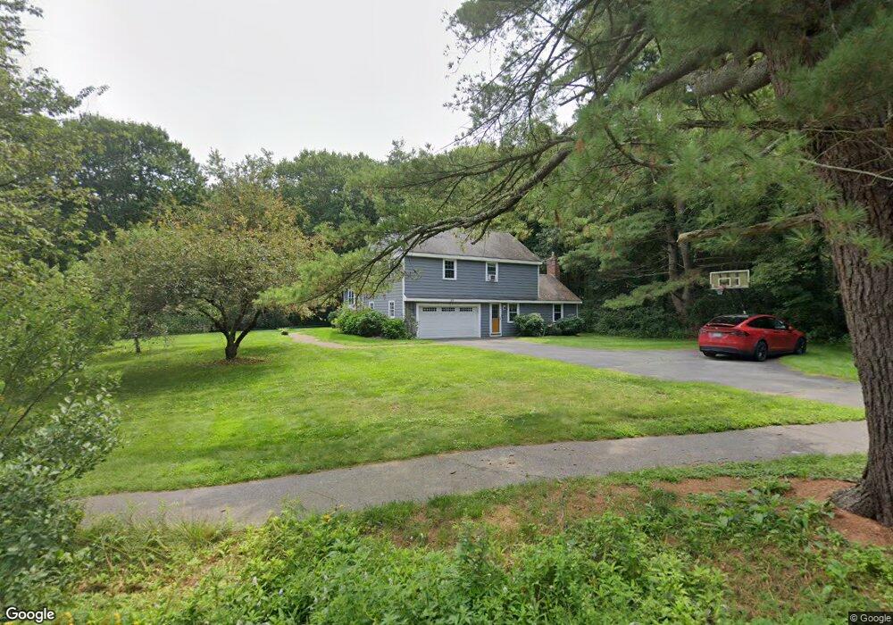
66 Raymond Rd Sudbury, MA 01776
Estimated Value: $1,107,776 - $1,366,000
4
Beds
3
Baths
2,761
Sq Ft
$451/Sq Ft
Est. Value
About This Home
This home is located at 66 Raymond Rd, Sudbury, MA 01776 and is currently estimated at $1,245,194, approximately $450 per square foot. 66 Raymond Rd is a home located in Middlesex County with nearby schools including Israel Loring Elementary School, Ephraim Curtis Middle School, and Lincoln-Sudbury Regional High School.
Ownership History
Date
Name
Owned For
Owner Type
Purchase Details
Closed on
Aug 15, 2008
Sold by
Epstein David
Bought by
Mcmains Tarkington and Mcmains Teresa
Current Estimated Value
Home Financials for this Owner
Home Financials are based on the most recent Mortgage that was taken out on this home.
Original Mortgage
$417,000
Outstanding Balance
$274,627
Interest Rate
6.4%
Mortgage Type
Purchase Money Mortgage
Estimated Equity
$970,567
Create a Home Valuation Report for This Property
The Home Valuation Report is an in-depth analysis detailing your home's value as well as a comparison with similar homes in the area
Home Values in the Area
Average Home Value in this Area
Purchase History
| Date | Buyer | Sale Price | Title Company |
|---|---|---|---|
| Mcmains Tarkington | $594,500 | -- |
Source: Public Records
Mortgage History
| Date | Status | Borrower | Loan Amount |
|---|---|---|---|
| Open | Mcmains Tarkington | $417,000 |
Source: Public Records
Tax History Compared to Growth
Tax History
| Year | Tax Paid | Tax Assessment Tax Assessment Total Assessment is a certain percentage of the fair market value that is determined by local assessors to be the total taxable value of land and additions on the property. | Land | Improvement |
|---|---|---|---|---|
| 2025 | $15,420 | $1,053,300 | $464,800 | $588,500 |
| 2024 | $14,888 | $1,019,000 | $451,200 | $567,800 |
| 2023 | $14,786 | $937,600 | $418,000 | $519,600 |
| 2022 | $13,720 | $760,100 | $383,600 | $376,500 |
| 2021 | $13,100 | $695,700 | $383,600 | $312,100 |
| 2020 | $12,836 | $695,700 | $383,600 | $312,100 |
| 2019 | $12,460 | $695,700 | $383,600 | $312,100 |
| 2018 | $11,923 | $665,000 | $403,600 | $261,400 |
| 2017 | $11,396 | $642,400 | $398,800 | $243,600 |
| 2016 | $11,111 | $624,200 | $383,600 | $240,600 |
| 2015 | $10,153 | $576,900 | $354,200 | $222,700 |
| 2014 | $9,976 | $553,300 | $343,800 | $209,500 |
Source: Public Records
Map
Nearby Homes
- 91 Eaton Rd W
- 84 Hopestill Brown Rd
- 19 Nob Hill Dr
- 32 Eaton Rd W
- 14 Eisenhower Rd
- 128 Nobscot Rd
- 30 Nobscot Rd Unit 14
- 1011 Boston Post Rd
- 0 Wagonwheel Rd
- 27 Sloane Dr
- 24 Woodland Rd
- 63 Landham Rd
- 41 James St
- 7 Adams Rd
- 216 Landham Rd
- 106 Baldwin Ave
- 40 Gregory Rd
- 23 Massasoit Ave
- 78 Apple d or Rd
- 36 Concord Rd
- 60 Raymond Rd
- 35 Robert Frost Rd
- 2 Moran Cir
- 27 Robert Frost Rd
- 2 Quaker Lady Ln
- 80 Raymond Rd
- 9 Moran Cir
- 10 Moran Cir
- 52 Raymond Rd
- 75 Raymond Rd
- 19 Robert Frost Rd
- 38 Robert Frost Rd
- 30 Robert Frost Rd
- 49 Raymond Rd
- 21 Moran Cir
- 18 Moran Cir
- 8 Lands End Ln
- 85 Raymond Rd
- 79 Raymond Rd
- 12 Quaker Lady Ln