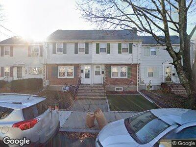
66 Regent Rd Malden, MA 02148
Bellrock NeighborhoodEstimated Value: $428,000 - $485,000
2
Beds
2
Baths
810
Sq Ft
$573/Sq Ft
Est. Value
About This Home
This home is located at 66 Regent Rd, Malden, MA 02148 and is currently estimated at $464,006, approximately $572 per square foot. 66 Regent Rd is a home located in Middlesex County with nearby schools including Malden High School, Cheverus Catholic School, and St Anthony School.
Ownership History
Date
Name
Owned For
Owner Type
Purchase Details
Closed on
Apr 9, 2018
Sold by
Szeto Chin and Szeto Yu-Wen M
Bought by
Szeto Yu-Wen M and Hsieh Karin J
Current Estimated Value
Purchase Details
Closed on
Jul 3, 1987
Sold by
Carviello Dianne
Bought by
Szwto Chin
Home Financials for this Owner
Home Financials are based on the most recent Mortgage that was taken out on this home.
Original Mortgage
$79,000
Interest Rate
10.76%
Mortgage Type
Purchase Money Mortgage
Create a Home Valuation Report for This Property
The Home Valuation Report is an in-depth analysis detailing your home's value as well as a comparison with similar homes in the area
Home Values in the Area
Average Home Value in this Area
Purchase History
| Date | Buyer | Sale Price | Title Company |
|---|---|---|---|
| Szeto Yu-Wen M | -- | -- | |
| Szwto Chin | $119,000 | -- |
Source: Public Records
Mortgage History
| Date | Status | Borrower | Loan Amount |
|---|---|---|---|
| Open | Szeto Yu-Wen M | $10,360 | |
| Previous Owner | Szwto Chin | $70,000 | |
| Previous Owner | Szwto Chin | $79,000 |
Source: Public Records
Tax History Compared to Growth
Tax History
| Year | Tax Paid | Tax Assessment Tax Assessment Total Assessment is a certain percentage of the fair market value that is determined by local assessors to be the total taxable value of land and additions on the property. | Land | Improvement |
|---|---|---|---|---|
| 2025 | $48 | $422,800 | $247,400 | $175,400 |
| 2024 | $4,737 | $405,200 | $233,700 | $171,500 |
| 2023 | $4,530 | $371,600 | $213,100 | $158,500 |
| 2022 | $4,279 | $346,500 | $192,500 | $154,000 |
| 2021 | $4,353 | $354,200 | $171,800 | $182,400 |
| 2020 | $4,382 | $346,400 | $166,000 | $180,400 |
| 2019 | $4,103 | $309,200 | $158,100 | $151,100 |
| 2018 | $3,896 | $276,500 | $130,600 | $145,900 |
| 2017 | $3,694 | $260,700 | $125,400 | $135,300 |
| 2016 | $3,134 | $206,700 | $115,100 | $91,600 |
| 2015 | $3,045 | $193,600 | $109,600 | $84,000 |
| 2014 | $3,025 | $187,900 | $99,700 | $88,200 |
Source: Public Records
Map
Nearby Homes
- 49 Woodville St
- 120 Wyllis Ave Unit 102
- 120 Wyllis Ave Unit 223
- 17 Howard St
- 7 Acorn St Unit 2
- 50 Floyd St Unit 7
- 50 Floyd St Unit 4
- 103 Newman Rd Unit 5
- 38 Pearl St Unit 2
- 57 Belmont St Unit 57
- 94-100 Tremont St
- 72 Ashland St Unit 107
- 14 Trunfio Ln
- 37 Boston St
- 227 Hancock St Unit 2
- 18 Newhall St
- 10 Swan St
- 175 Hancock St
- 48 Tappan St
- 16 Lowell Ave
- 66 Regent Rd
- 64 Regent Rd
- 68 Regent Rd
- 62 Regent Rd
- 67 Wyllis Ave
- 65 Wyllis Ave
- 69 Wyllis Ave
- 98 Bell Rock St Unit 98
- 98 Bell Rock St
- 98 Bell Rock St Unit 98 Bell Rock St
- 63 Wyllis Ave
- 60 Regent Rd
- 100 Bell Rock St
- 102 Bell Rock St
- 61 Wyllis Ave
- 104 Bell Rock St
- 58 Regent Rd
- 43-45 James
- 65 Regent Rd
- 65 Regent Rd Unit 65