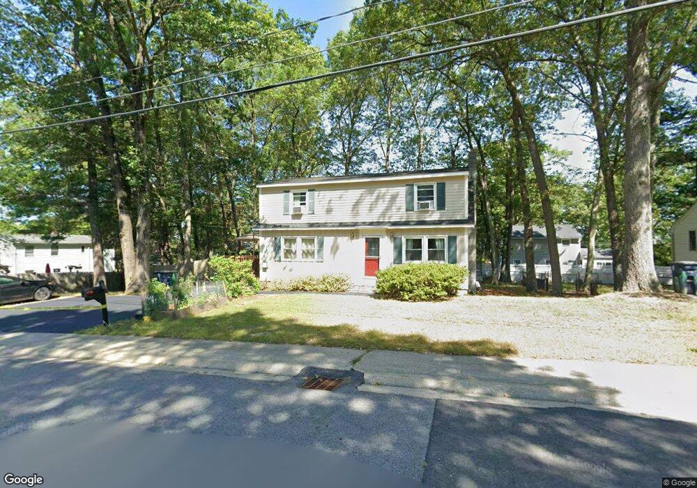
66 Robin Hood Rd Nashua, NH 03062
Southwest Nashua NeighborhoodEstimated Value: $503,000 - $575,000
3
Beds
2
Baths
1,547
Sq Ft
$342/Sq Ft
Est. Value
About This Home
This home is located at 66 Robin Hood Rd, Nashua, NH 03062 and is currently estimated at $529,023, approximately $341 per square foot. 66 Robin Hood Rd is a home located in Hillsborough County with nearby schools including New Searles School, Fairgrounds Middle School, and Nashua High School South.
Ownership History
Date
Name
Owned For
Owner Type
Purchase Details
Closed on
Mar 5, 2025
Sold by
Cook Stephen B and Cook Diane E
Bought by
Cook Ft and Cook
Current Estimated Value
Purchase Details
Closed on
Aug 14, 1998
Sold by
Blouin Arlene C
Bought by
Cook Stephen B and Cook Diane E
Home Financials for this Owner
Home Financials are based on the most recent Mortgage that was taken out on this home.
Original Mortgage
$124,745
Interest Rate
6.94%
Mortgage Type
Purchase Money Mortgage
Create a Home Valuation Report for This Property
The Home Valuation Report is an in-depth analysis detailing your home's value as well as a comparison with similar homes in the area
Home Values in the Area
Average Home Value in this Area
Purchase History
| Date | Buyer | Sale Price | Title Company |
|---|---|---|---|
| Cook Ft | -- | None Available | |
| Cook Ft | -- | None Available | |
| Cook Stephen B | $124,900 | -- | |
| Cook Stephen B | $124,900 | -- |
Source: Public Records
Mortgage History
| Date | Status | Borrower | Loan Amount |
|---|---|---|---|
| Previous Owner | Cook Stephen B | $35,000 | |
| Previous Owner | Cook Stephen B | $124,745 |
Source: Public Records
Tax History Compared to Growth
Tax History
| Year | Tax Paid | Tax Assessment Tax Assessment Total Assessment is a certain percentage of the fair market value that is determined by local assessors to be the total taxable value of land and additions on the property. | Land | Improvement |
|---|---|---|---|---|
| 2024 | $6,928 | $435,700 | $159,300 | $276,400 |
| 2023 | $6,506 | $356,900 | $127,500 | $229,400 |
| 2022 | $6,449 | $356,900 | $127,500 | $229,400 |
| 2021 | $6,035 | $259,900 | $85,000 | $174,900 |
| 2020 | $5,876 | $259,900 | $85,000 | $174,900 |
| 2019 | $5,655 | $259,900 | $85,000 | $174,900 |
| 2018 | $5,512 | $259,900 | $85,000 | $174,900 |
| 2017 | $5,155 | $199,900 | $66,100 | $133,800 |
| 2016 | $5,011 | $199,900 | $66,100 | $133,800 |
| 2015 | $4,904 | $199,900 | $66,100 | $133,800 |
| 2014 | $4,808 | $199,900 | $66,100 | $133,800 |
Source: Public Records
Map
Nearby Homes
- 23 Glen Dr
- 29 Greenwood Dr
- 33 Cannon Dr
- 188 Harris Rd
- 4 Henry David Dr Unit 203
- 57 Wethersfield Rd
- 5 Wilderness Dr
- 15 Westray Dr
- 31 Tenby Dr
- 29 Dickens St
- 11 Bordeaux St
- 375 Main Dunstable Rd
- 22 Kern Dr
- 17 Herrick St
- 63 Dexter St
- 97 Linwood St
- 247 Main Dunstable Rd
- 116 Lille Rd
- 15 Learned St Unit 123
- 6 Hayden St
- 68 Robin Hood Rd
- 10 Lancaster Dr
- 68 Robinhood Rd
- 5 Barnesdale Rd
- 3 Barnesdale Rd
- 65 Robin Hood Rd
- 63 Robin Hood Rd
- 67 Robin Hood Rd
- 1 Barnesdale Rd
- 70 Robin Hood Rd
- 7 Barnesdale Rd
- 69 Robin Hood Rd
- 61 Robin Hood Rd
- 61 Robin Hood Rd Unit (AKA Robinhood)
- 4 Barnesdale Rd
- 9 Lancaster Dr
- 7 Shaw Cir
- 6 Barnesdale Rd
- 5 Shaw Cir
- 4 Lancaster Dr