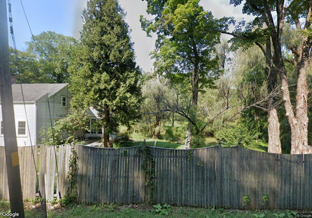
66 Route 55 W Sherman, CT 06784
Estimated Value: $520,708 - $774,000
3
Beds
2
Baths
1,938
Sq Ft
$339/Sq Ft
Est. Value
About This Home
This home is located at 66 Route 55 W, Sherman, CT 06784 and is currently estimated at $657,927, approximately $339 per square foot. 66 Route 55 W is a home located in Fairfield County with nearby schools including Sherman School.
Ownership History
Date
Name
Owned For
Owner Type
Purchase Details
Closed on
Jun 26, 2007
Sold by
Hersh William E
Bought by
Chuisano William M and Chuisano Lori A
Current Estimated Value
Home Financials for this Owner
Home Financials are based on the most recent Mortgage that was taken out on this home.
Original Mortgage
$397,000
Outstanding Balance
$242,264
Interest Rate
6.14%
Estimated Equity
$415,663
Create a Home Valuation Report for This Property
The Home Valuation Report is an in-depth analysis detailing your home's value as well as a comparison with similar homes in the area
Home Values in the Area
Average Home Value in this Area
Purchase History
| Date | Buyer | Sale Price | Title Company |
|---|---|---|---|
| Chuisano William M | $507,000 | -- |
Source: Public Records
Mortgage History
| Date | Status | Borrower | Loan Amount |
|---|---|---|---|
| Open | Chuisano William M | $397,000 |
Source: Public Records
Tax History Compared to Growth
Tax History
| Year | Tax Paid | Tax Assessment Tax Assessment Total Assessment is a certain percentage of the fair market value that is determined by local assessors to be the total taxable value of land and additions on the property. | Land | Improvement |
|---|---|---|---|---|
| 2025 | $4,368 | $262,000 | $147,100 | $114,900 |
| 2024 | $4,286 | $262,000 | $147,100 | $114,900 |
| 2023 | $4,669 | $262,000 | $147,100 | $114,900 |
| 2022 | $4,763 | $262,000 | $147,100 | $114,900 |
| 2021 | $6,062 | $262,000 | $147,100 | $114,900 |
| 2020 | $6,169 | $262,000 | $147,100 | $114,900 |
| 2019 | $3,641 | $262,000 | $147,100 | $114,900 |
| 2018 | $12,063 | $265,200 | $151,000 | $114,200 |
| 2017 | $6,112 | $265,200 | $151,000 | $114,200 |
| 2016 | $5,392 | $265,230 | $150,990 | $114,240 |
| 2015 | $5,315 | $265,230 | $150,990 | $114,240 |
| 2014 | $5,262 | $265,230 | $150,990 | $114,240 |
Source: Public Records
Map
Nearby Homes
- 41 Long River Rd
- 42 Long River Rd
- 1 Hoyt Rd
- 73 Long River Rd
- 60 Long River Rd
- 55 Colonial Ridge Dr
- 1 Cloverleaf Farm S
- 685 Kent Rd
- 696 Kent Rd
- 27 Meadowland Dr
- 228 Dog Tail Corners Rd
- 16 Gaylord Rd
- 00 Anderson Rd
- 14 SE Mountain Rd
- 43 Gaylord Rd
- 48 Gaylord Rd
- 50 Lake Ellis Rd
- 73 Lake Ellis Rd
- 45 Nicole Ln
- 31 Cedar Hill Rd