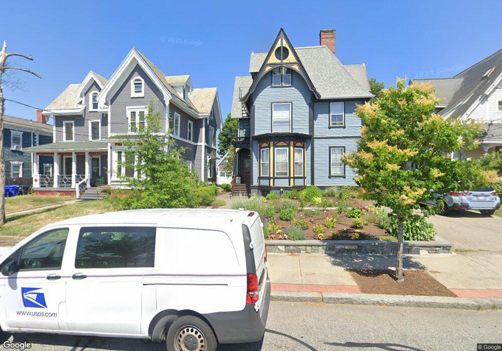
66 Summit St Pawtucket, RI 02860
Quality Hill NeighborhoodEstimated Value: $633,117 - $793,000
6
Beds
4
Baths
3,310
Sq Ft
$213/Sq Ft
Est. Value
About This Home
This home is located at 66 Summit St, Pawtucket, RI 02860 and is currently estimated at $705,029, approximately $212 per square foot. 66 Summit St is a home located in Providence County with nearby schools including International Charter School, Blackstone Academy Charter School, and Saint Raphael Academy.
Ownership History
Date
Name
Owned For
Owner Type
Purchase Details
Closed on
Jul 20, 2005
Sold by
Horlbogen Michael R and Roderick Sharon M
Bought by
Derby Matthew D and Arnold Mary Kim
Current Estimated Value
Purchase Details
Closed on
Jul 12, 1999
Sold by
Mccann Jon Rocco and Mccann Sherry Ann
Bought by
Horlbogen Michael R and Roderich Sharon M
Purchase Details
Closed on
Jul 19, 1996
Sold by
Dale Terry L
Bought by
Mccann Jon Rocco and Mccann Sherryann
Create a Home Valuation Report for This Property
The Home Valuation Report is an in-depth analysis detailing your home's value as well as a comparison with similar homes in the area
Home Values in the Area
Average Home Value in this Area
Purchase History
| Date | Buyer | Sale Price | Title Company |
|---|---|---|---|
| Derby Matthew D | $370,000 | -- | |
| Horlbogen Michael R | $162,000 | -- | |
| Mccann Jon Rocco | $143,000 | -- |
Source: Public Records
Mortgage History
| Date | Status | Borrower | Loan Amount |
|---|---|---|---|
| Open | Mccann Jon Rocco | $354,982 | |
| Closed | Mccann Jon Rocco | $380,873 |
Source: Public Records
Tax History Compared to Growth
Tax History
| Year | Tax Paid | Tax Assessment Tax Assessment Total Assessment is a certain percentage of the fair market value that is determined by local assessors to be the total taxable value of land and additions on the property. | Land | Improvement |
|---|---|---|---|---|
| 2025 | $7,125 | $541,800 | $108,900 | $432,900 |
| 2024 | $6,686 | $541,800 | $108,900 | $432,900 |
| 2023 | $6,173 | $364,400 | $57,800 | $306,600 |
| 2022 | $6,042 | $364,400 | $57,800 | $306,600 |
| 2021 | $6,042 | $364,400 | $57,800 | $306,600 |
| 2020 | $5,101 | $244,200 | $40,300 | $203,900 |
| 2019 | $5,101 | $244,200 | $40,300 | $203,900 |
| 2018 | $4,916 | $244,200 | $40,300 | $203,900 |
| 2017 | $4,483 | $197,300 | $43,900 | $153,400 |
| 2016 | $4,319 | $197,300 | $43,900 | $153,400 |
| 2015 | $4,319 | $197,300 | $43,900 | $153,400 |
| 2014 | $4,243 | $184,000 | $43,900 | $140,100 |
Source: Public Records
Map
Nearby Homes
- 36 Underwood St
- 166 Division St
- 65 Johnson St Unit C
- 10 Exchange Ct Unit 506
- 10 Exchange Ct Unit 203
- 23 Spring St
- 70 Brewster St
- 146 S Bend St
- 48 Kossuth St
- 44 Pawtucket Ave
- 19 Wood St
- 28 Bayley St Unit 107
- 256 High St
- 45 Harrison St
- 396 Roosevelt Ave
- 78 Barton St
- 176 Central Ave
- 167 George St
- 57 Garden St
- 59 West Ave