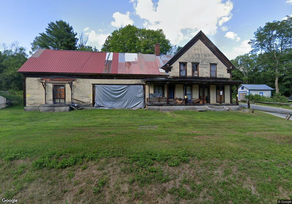
66 Turnpike Rd Grafton, NH 03240
Estimated Value: $127,467 - $436,000
--
Bed
--
Bath
2,542
Sq Ft
$109/Sq Ft
Est. Value
About This Home
This home is located at 66 Turnpike Rd, Grafton, NH 03240 and is currently estimated at $277,617, approximately $109 per square foot. 66 Turnpike Rd is a home with nearby schools including Canaan Elementary School, Indian River School, and Mascoma Valley Regional High School.
Ownership History
Date
Name
Owned For
Owner Type
Purchase Details
Closed on
May 9, 2023
Sold by
Dodge John D
Bought by
M A & Jane E Kenyon Ret and Kenyon
Current Estimated Value
Purchase Details
Closed on
Mar 4, 2021
Sold by
Long Margaret K and Carpenter Shirley
Bought by
Mascoma Vly Preserv
Purchase Details
Closed on
Jul 5, 2017
Sold by
Kimball Frank
Bought by
Kimball Frank and Dodge John D
Purchase Details
Closed on
Apr 10, 2017
Sold by
Dodge Mavis
Bought by
Kimball Frank
Purchase Details
Closed on
May 26, 2016
Sold by
Kimball Frank
Bought by
Dodge Mavis J
Purchase Details
Closed on
Mar 25, 2016
Sold by
Lamport Lucile E Est and Kimball
Bought by
Kimball Frank
Create a Home Valuation Report for This Property
The Home Valuation Report is an in-depth analysis detailing your home's value as well as a comparison with similar homes in the area
Home Values in the Area
Average Home Value in this Area
Purchase History
| Date | Buyer | Sale Price | Title Company |
|---|---|---|---|
| M A & Jane E Kenyon Ret | $94,000 | None Available | |
| Mascoma Vly Preserv | -- | None Available | |
| Kimball Frank | -- | -- | |
| Kimball Frank | -- | -- | |
| Dodge Mavis J | -- | -- | |
| Kimball Frank | -- | -- |
Source: Public Records
Tax History Compared to Growth
Tax History
| Year | Tax Paid | Tax Assessment Tax Assessment Total Assessment is a certain percentage of the fair market value that is determined by local assessors to be the total taxable value of land and additions on the property. | Land | Improvement |
|---|---|---|---|---|
| 2024 | $2,757 | $90,100 | $32,500 | $57,600 |
| 2023 | $2,460 | $90,100 | $32,500 | $57,600 |
| 2022 | $2,388 | $90,100 | $32,500 | $57,600 |
| 2021 | $2,332 | $90,100 | $32,500 | $57,600 |
| 2020 | $2,419 | $90,100 | $32,500 | $57,600 |
| 2019 | $2,767 | $87,100 | $25,300 | $61,800 |
| 2018 | $2,508 | $87,100 | $25,300 | $61,800 |
| 2017 | $2,438 | $87,100 | $25,300 | $61,800 |
| 2016 | $2,248 | $86,000 | $25,300 | $60,700 |
| 2015 | $2,337 | $86,000 | $25,300 | $60,700 |
| 2014 | $2,110 | $92,600 | $22,800 | $69,800 |
| 2013 | $1,882 | $90,300 | $22,800 | $67,500 |
Source: Public Records
Map
Nearby Homes
- 11 Turnpike Rd
- 0 Turnpike Rd Unit 1 5041145
- 86 Wild Meadow Rd
- 0 Tunnel Rd Unit 727 5024585
- 165 Kilton Pond Rd
- 524 North Rd
- 21 Northwood Estates
- 122 Northwood Estates Dr
- 66 Brookside Ln
- 0 Spruce Ln
- 150 Kinsman Hwy
- 00 Riddle Hill Rd
- 309 Waukeena Lake Rd
- 367 Height of Land Rd
- lot 7 Eastern District Rd
- Lot91 Eastern District Rd
- 410-089-001 Eastern District Rd
- 410-090-009 Eastern District Rd
- 410-090-008 Eastern District Rd
- 410-090-005 Eastern District Rd
- Lot #1 Wild Meadow Rd
- 11 Wild Meadow Rd
- 4 Wild Meadow Rd
- 75 Turnpike Rd
- 76 Turnpike Rd
- 54 Turnpike Rd
- 85 Turnpike Rd
- 88 Turnpike Rd
- 39 Lower Meadow Rd
- 34 Turnpike Rd
- 22 Turnpike Rd
- 23 Turnpike Rd
- 20 Turnpike Rd
- 116 Turnpike Rd
- 107 Turnpike Rd
- 21 Lower Meadow Rd
- 124 Turnpike Rd
- 14 Lower Meadow Rd
- 75 Wild Meadow Rd
- 6 Turnpike Rd