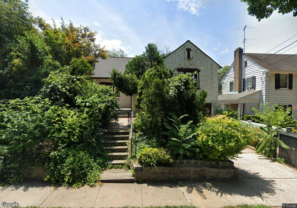
66 W Devonia Ave Mount Vernon, NY 10552
Estimated Value: $633,000 - $905,000
3
Beds
2
Baths
1,650
Sq Ft
$438/Sq Ft
Est. Value
About This Home
This home is located at 66 W Devonia Ave, Mount Vernon, NY 10552 and is currently estimated at $722,758, approximately $438 per square foot. 66 W Devonia Ave is a home located in Westchester County with nearby schools including Pennington Elementary School, Mount Vernon High School, and Bronx Charter School For Excellence 3.
Ownership History
Date
Name
Owned For
Owner Type
Purchase Details
Closed on
Oct 15, 2009
Sold by
Conifrey William and Conifrey Julia A
Bought by
Rivenson Schulman Phyllis
Current Estimated Value
Home Financials for this Owner
Home Financials are based on the most recent Mortgage that was taken out on this home.
Original Mortgage
$521,926
Outstanding Balance
$339,066
Interest Rate
4.98%
Mortgage Type
FHA
Estimated Equity
$383,692
Create a Home Valuation Report for This Property
The Home Valuation Report is an in-depth analysis detailing your home's value as well as a comparison with similar homes in the area
Home Values in the Area
Average Home Value in this Area
Purchase History
| Date | Buyer | Sale Price | Title Company |
|---|---|---|---|
| Rivenson Schulman Phyllis | $540,000 | All New York Title Agency In |
Source: Public Records
Mortgage History
| Date | Status | Borrower | Loan Amount |
|---|---|---|---|
| Open | Rivenson Schulman Phyllis | $521,926 |
Source: Public Records
Tax History
| Year | Tax Paid | Tax Assessment Tax Assessment Total Assessment is a certain percentage of the fair market value that is determined by local assessors to be the total taxable value of land and additions on the property. | Land | Improvement |
|---|---|---|---|---|
| 2024 | $15,535 | $10,300 | $3,000 | $7,300 |
| 2023 | $11,591 | $10,300 | $3,000 | $7,300 |
| 2022 | $14,492 | $10,300 | $3,000 | $7,300 |
| 2021 | $15,947 | $10,300 | $3,000 | $7,300 |
| 2020 | $13,331 | $10,300 | $3,000 | $7,300 |
| 2019 | $15,261 | $10,300 | $3,000 | $7,300 |
| 2018 | $24,527 | $10,300 | $3,000 | $7,300 |
| 2017 | $0 | $10,300 | $3,000 | $7,300 |
| 2016 | $14,671 | $10,300 | $3,000 | $7,300 |
| 2015 | -- | $10,300 | $3,000 | $7,300 |
| 2014 | -- | $10,300 | $3,000 | $7,300 |
| 2013 | -- | $10,300 | $3,000 | $7,300 |
Source: Public Records
Map
Nearby Homes
- 290 Collins Ave Unit 5D
- 2 Bronxville Rd Unit 8D
- 777 N MacQuesten Pkwy Unit 308
- 777 N MacQuesten Pkwy Unit 305
- 280 Collins Ave Unit 4E
- 1 Bronxville Rd Unit 3S
- 1 Vincent Rd Unit 3K
- 1 Vincent Rd Unit 2N
- 1 Vincent Rd Unit 1G
- 1470 Midland Ave Unit 3M
- 1470 Midland Ave Unit 1O
- 1 Georgia Ave Unit 3E
- 1 Georgia Ave Unit 6C
- 1468 Midland Ave Unit 4D
- 1440 Midland Ave Unit 2B
- 1440 Midland Ave Unit 1D
- 625 Gramatan Ave Unit 4R
- 2 Louisiana Ave Unit 3C
- 60 Broad St W Unit 1K
- 69 Ardell Rd
- 350 Packman Ave
- 68 W Devonia Ave
- 344 Packman Ave
- 74 W Devonia Ave
- 825 N MacQuesten Pkwy
- 342 Packman Ave
- 360 Packman Ave
- 65 W Devonia Ave
- 823 N MacQuesten Pkwy
- 347 Packman Ave
- 69 W Devonia Ave
- 340 Packman Ave
- 341 Packman Ave Unit 2
- 341 Packman Ave
- 55 W Devonia Ave
- 55 W Devonia Ave Unit 1
- 55 W Devonia Ave Unit Upper Unit
- 337 Packman Ave
- 819 N MacQuesten Pkwy
- 77 W Devonia Ave
Your Personal Tour Guide
Ask me questions while you tour the home.