66 Westford Dr Ashford, CT 06278
Estimated Value: $293,000 - $348,000
3
Beds
1
Bath
1,075
Sq Ft
$291/Sq Ft
Est. Value
About This Home
This home is located at 66 Westford Dr, Ashford, CT 06278 and is currently estimated at $312,649, approximately $290 per square foot. 66 Westford Dr is a home located in Windham County with nearby schools including Ashford School and E.O. Smith High School.
Ownership History
Date
Name
Owned For
Owner Type
Purchase Details
Closed on
Feb 21, 2012
Sold by
Cote Holly A
Bought by
Cote Holly A and Howlett John F
Current Estimated Value
Purchase Details
Closed on
Sep 22, 2010
Sold by
Cote Michael G
Bought by
Cote Holly A
Purchase Details
Closed on
Jun 19, 1995
Sold by
Rabbett Kevin and Rabbett Mary
Bought by
Chameroy Holly and Cote Michael
Create a Home Valuation Report for This Property
The Home Valuation Report is an in-depth analysis detailing your home's value as well as a comparison with similar homes in the area
Home Values in the Area
Average Home Value in this Area
Purchase History
| Date | Buyer | Sale Price | Title Company |
|---|---|---|---|
| Cote Holly A | -- | -- | |
| Cote Holly A | -- | -- | |
| Cote Holly A | -- | -- | |
| Cote Holly A | -- | -- | |
| Chameroy Holly | $104,000 | -- | |
| Chameroy Holly | $104,000 | -- |
Source: Public Records
Mortgage History
| Date | Status | Borrower | Loan Amount |
|---|---|---|---|
| Open | Chameroy Holly | $116,640 | |
| Previous Owner | Chameroy Holly | $30,000 |
Source: Public Records
Tax History Compared to Growth
Tax History
| Year | Tax Paid | Tax Assessment Tax Assessment Total Assessment is a certain percentage of the fair market value that is determined by local assessors to be the total taxable value of land and additions on the property. | Land | Improvement |
|---|---|---|---|---|
| 2025 | $4,984 | $136,990 | $38,220 | $98,770 |
| 2024 | $4,707 | $136,990 | $38,220 | $98,770 |
| 2023 | $4,533 | $136,990 | $38,220 | $98,770 |
| 2022 | $4,421 | $136,990 | $38,220 | $98,770 |
| 2021 | $4,353 | $119,700 | $38,400 | $81,300 |
| 2020 | $4,410 | $119,700 | $38,400 | $81,300 |
| 2019 | $4,245 | $119,700 | $38,400 | $81,300 |
| 2018 | $4,162 | $119,700 | $38,400 | $81,300 |
| 2017 | $4,114 | $119,700 | $38,400 | $81,300 |
| 2016 | $4,117 | $127,200 | $46,100 | $81,100 |
| 2015 | $3,935 | $119,400 | $46,100 | $73,300 |
| 2014 | $3,840 | $119,400 | $46,100 | $73,300 |
Source: Public Records
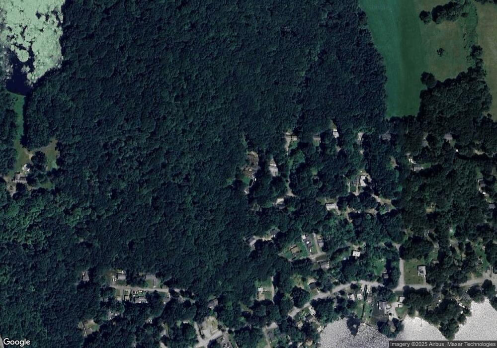
Map
Nearby Homes
- 12 Union Dr
- 12 Armitage Ct
- 2 Old Barrows Rd
- 329 Turnpike Rd
- 0 Chatey Rd
- 8 South Rd Unit W86
- 8 South Rd Unit WW4
- 8 South Rd Unit R80
- 8 South Rd Unit R29
- 894 Buckley Hwy
- 0 Lohse Rd Unit map 42 block 21
- 173 Westford Hill Rd
- 61 Lohse Rd
- 57 Lohse Rd
- 21 Ashley Ln
- Lot 0 Kozey Rd
- 74 Crooked S Rd
- 89 Bradway Rd
- 3 Hemlock Cir
- 28 Cemetery Rd
- 780-783 Union Dr
- 58 Westford Dr
- 59 Westford Dr
- 73 Westford Dr
- 52 Union Dr
- 75 Westford Dr
- 52 Westford Dr
- 76 Westford Dr
- 45 Westford Dr
- 917 Squirrel Hill Dr
- 908 Squirrel Hill Dr
- 900 Squirrel Hill Dr
- 58 Ashford Dr
- 54 Ashford Dr
- 44 Westford Dr
- 52 Ashford Dr
- 42 Westford Dr
- 27 Pine Hill Dr
- 42 Union Dr
- 90 Westford Dr